MyTopo
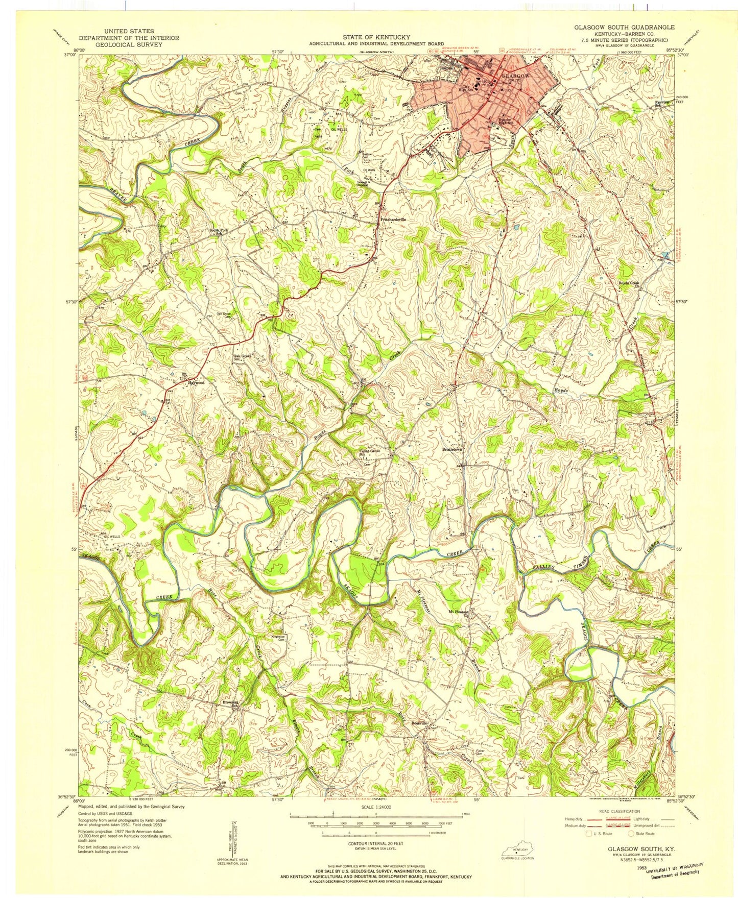
Classic USGS Glasgow South Kentucky 7.5'x7.5' Topo Map
Couldn't load pickup availability
Historical USGS topographic quad map of Glasgow South in the state of Kentucky. Map scale may vary for some years, but is generally around 1:24,000. Print size is approximately 24" x 27"
This quadrangle is in the following counties: Barren.
The map contains contour lines, roads, rivers, towns, and lakes. Printed on high-quality waterproof paper with UV fade-resistant inks, and shipped rolled.
Contains the following named places: Adams Cemetery, Allen Cross Roads Cemetery, Barlow - Mansfield Cemetery, Barren - Metcalfe County Ambulance Service, Barren County, Barren County Historical Marker, Barren County Sheriff's Office, Boyds Creek, Boyds Creek Church, Bristletown, Bunche High School, Cedar Grove Church, Christmas Mishap Historical Marker, Confederate Congressional Medal of Honour Historical Marker, Dover Church, Elmore Branch, Falling Timber Creek, First Presbyterian Church Historical Marker, Glasgow, Glasgow Cemetery, Glasgow City Fire Department Station 2, Glasgow Division, Glasgow Fire Department Station 1, Glasgow Police Department, Glasgow Post Office, Gorin Park, Haywood, Haywood Fire Department, Home of Arthur Krock Historical Marker, Home of Governor Leslie Historical Marker, Huggins Branch, Laurel Bluff, Liberty Street School, Luska Joseph Twyman Historical Marker, Matthews Hill, Millersburg Branch, Morrisey Park Church Campground, Mount Pleasant Branch, Mount Pleasant Church, Oak Grove Cemetery, Oak Grove Church, Postal Store Post Office, Pritchardsville, Rose Creek, Roseville, Siloan Church, South Fork Beaver Creek, South Fork Church, Temple Hill Fire Department, WCDS-AM (Glasgow), Woodland Park, WOVO-FM (Glasgow), ZIP Code: 42141


