MyTopo
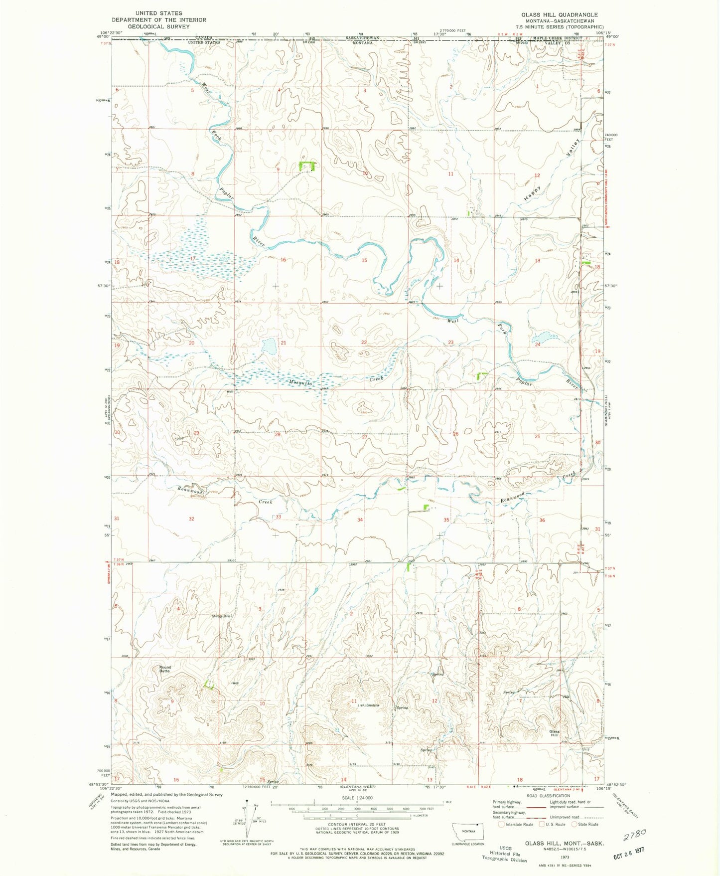
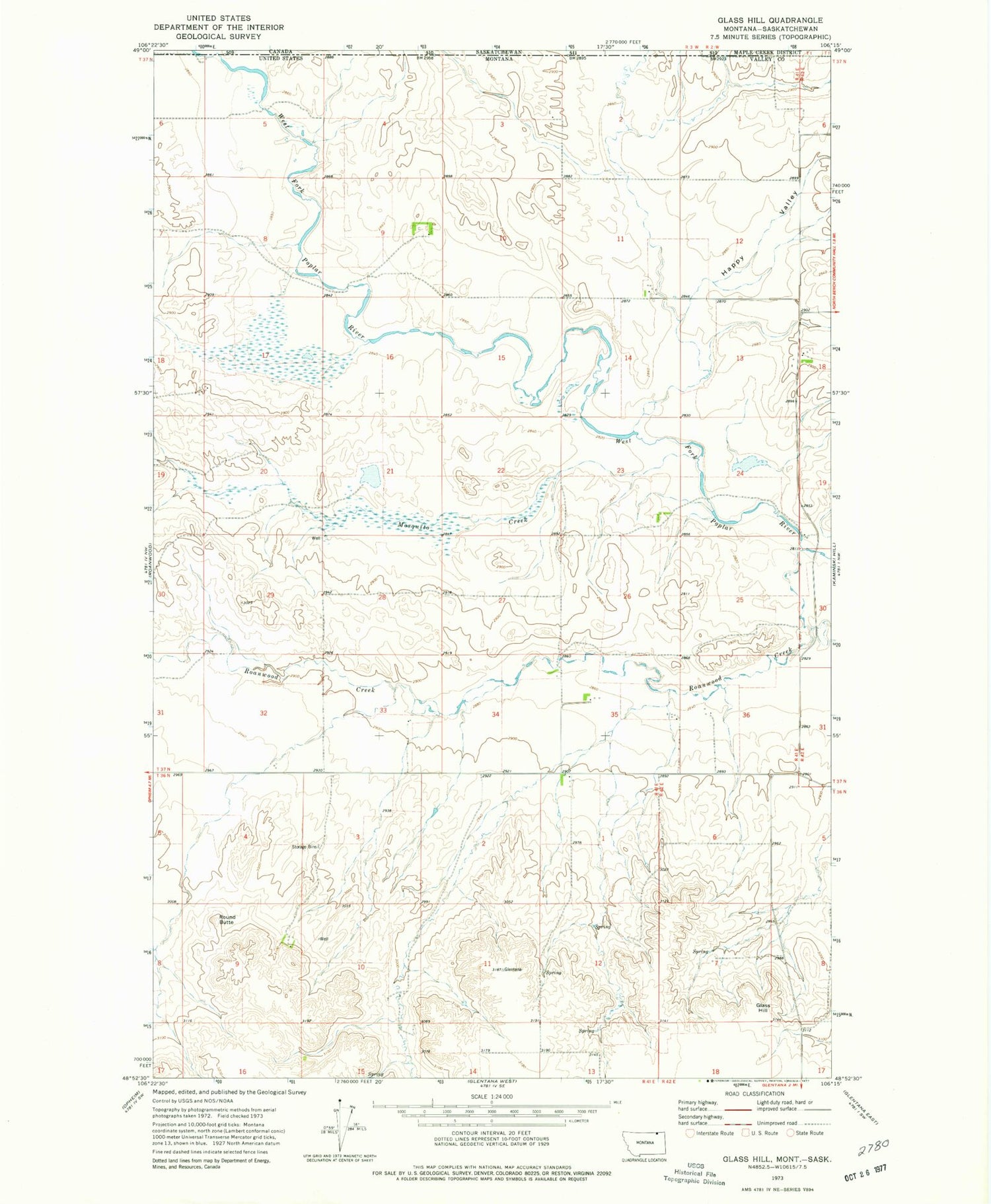
Classic USGS Glass Hill Montana 7.5'x7.5' Topo Map
Regular price
$16.95
Regular price
Sale price
$16.95
Unit price
per
Couldn't load pickup availability
Historical USGS topographic quad map of Glass Hill in the state of Montana. Map scale may vary for some years, but is generally around 1:24,000. Print size is approximately 24" x 27"
This quadrangle is in the following counties: Valley.
The map contains contour lines, roads, rivers, towns, and lakes. Printed on high-quality waterproof paper with UV fade-resistant inks, and shipped rolled.
Contains the following named places: 37N41E03ADCA01 Well, 37N41E09ADCA01 Well, 37N41E11DCDA01 Well, 37N41E11DDCB01 Well, 37N41E11DDCC01 Well, 37N42E18BCBC01 Well, Eddie Number 6 Dam, Glass Hill, Happy Valley, Happy Valley School, Mosquito Creek, Professor Pool Dam, Prospect School, Round Butte, Stewart Creek