MyTopo
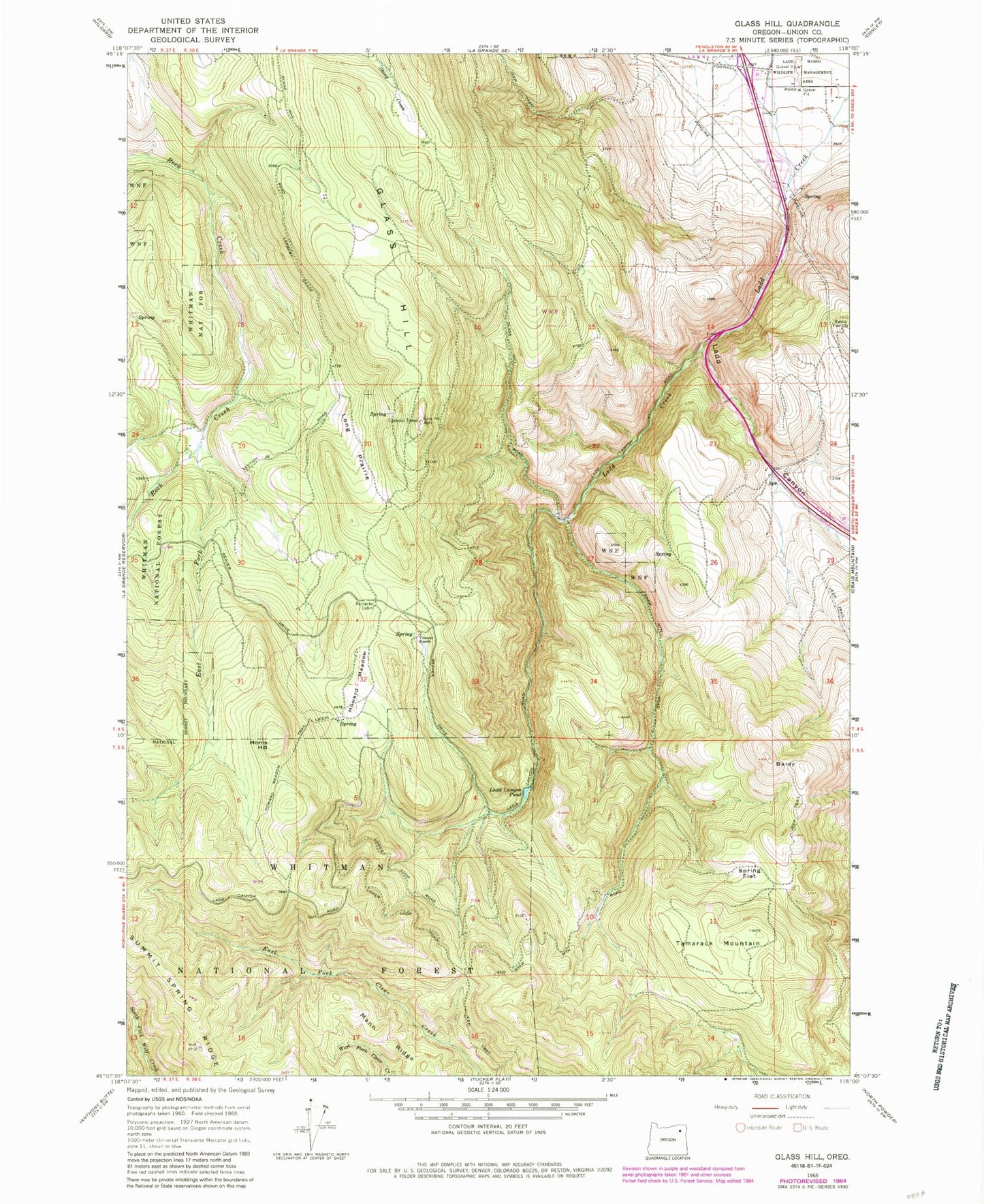
Classic USGS Glass Hill Oregon 7.5'x7.5' Topo Map
Couldn't load pickup availability
Historical USGS topographic quad map of Glass Hill in the state of Oregon. Map scale may vary for some years, but is generally around 1:24,000. Print size is approximately 24" x 27"
This quadrangle is in the following counties: Union.
The map contains contour lines, roads, rivers, towns, and lakes. Printed on high-quality waterproof paper with UV fade-resistant inks, and shipped rolled.
Contains the following named places: Baldy, Charles Reynolds Safety Rest Area, Clay Spring, East Fork Rock Creek, Glass Hill, Howard Meadow, Howard Meadow Trail, Ladd Canyon, Ladd Canyon Pond, Ladd Canyon Sno-Park, Long Prairie, Mann Ridge, Morris Hill, Reinecke Cabin, Spring Flat, Tamarack Mountain, Vincent Ranch, West Fork Ladd Creek