MyTopo
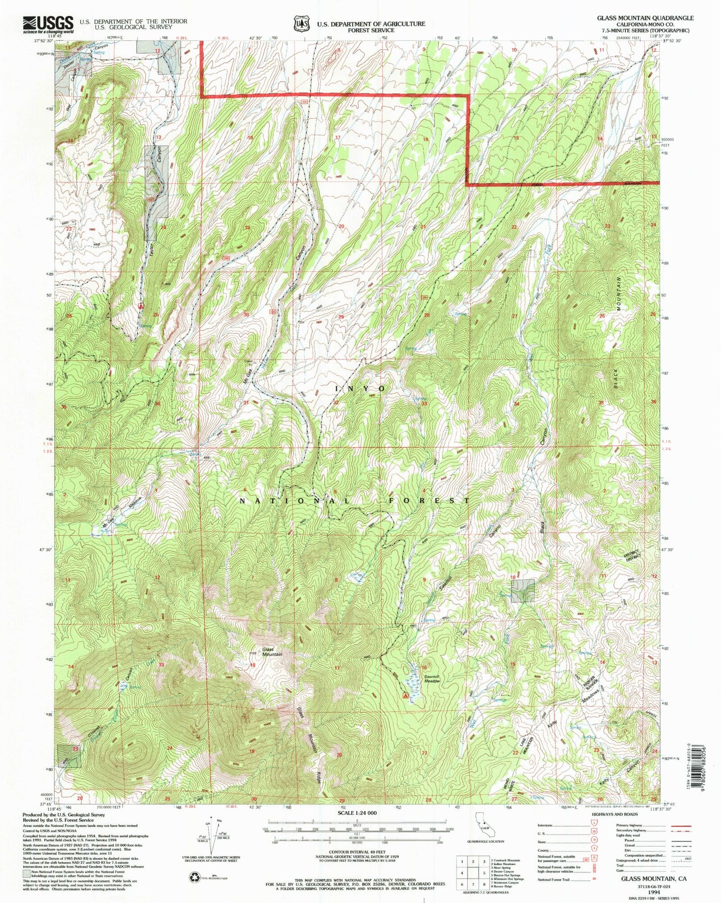
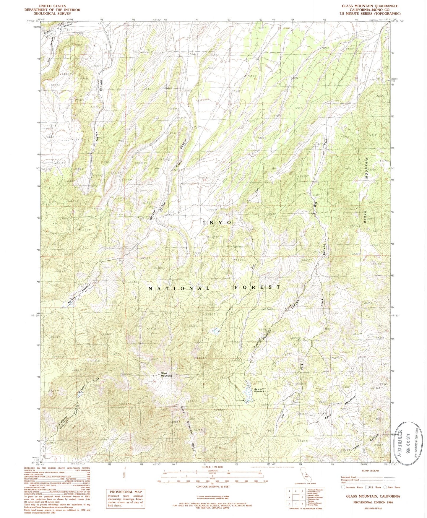
Classic USGS Glass Mountain California 7.5'x7.5' Topo Map
Couldn't load pickup availability
Historical USGS topographic quad map of Glass Mountain in the state of California. Map scale may vary for some years, but is generally around 1:24,000. Print size is approximately 24" x 27"
This quadrangle is in the following counties: Mono.
The map contains contour lines, roads, rivers, towns, and lakes. Printed on high-quality waterproof paper with UV fade-resistant inks, and shipped rolled.
Contains the following named places: Black Canyon, Black Mountain, Dry Fork, Glass Mountain, Glass Mountain Ridge, Indian Ranch, Kelty Meadows, Kuhlee Ranch, Mammoth Lakes Division, McGee Canyon, McGee Meadow, Mounts Place, O'Harrel Canyon, Sawmill Canyon, Sawmill Creek, Sawmill Meadow, Sawmill Meadows Camping Area, Seases Ranch, Symons Ranch, Taylor Canyon, Taylor Canyon Camping Area, Wet Canyon, Wet Fork