MyTopo
Classic USGS Gleeson SE Arizona 7.5'x7.5' Topo Map
Regular price
$16.95
Regular price
Sale price
$16.95
Unit price
per
Couldn't load pickup availability
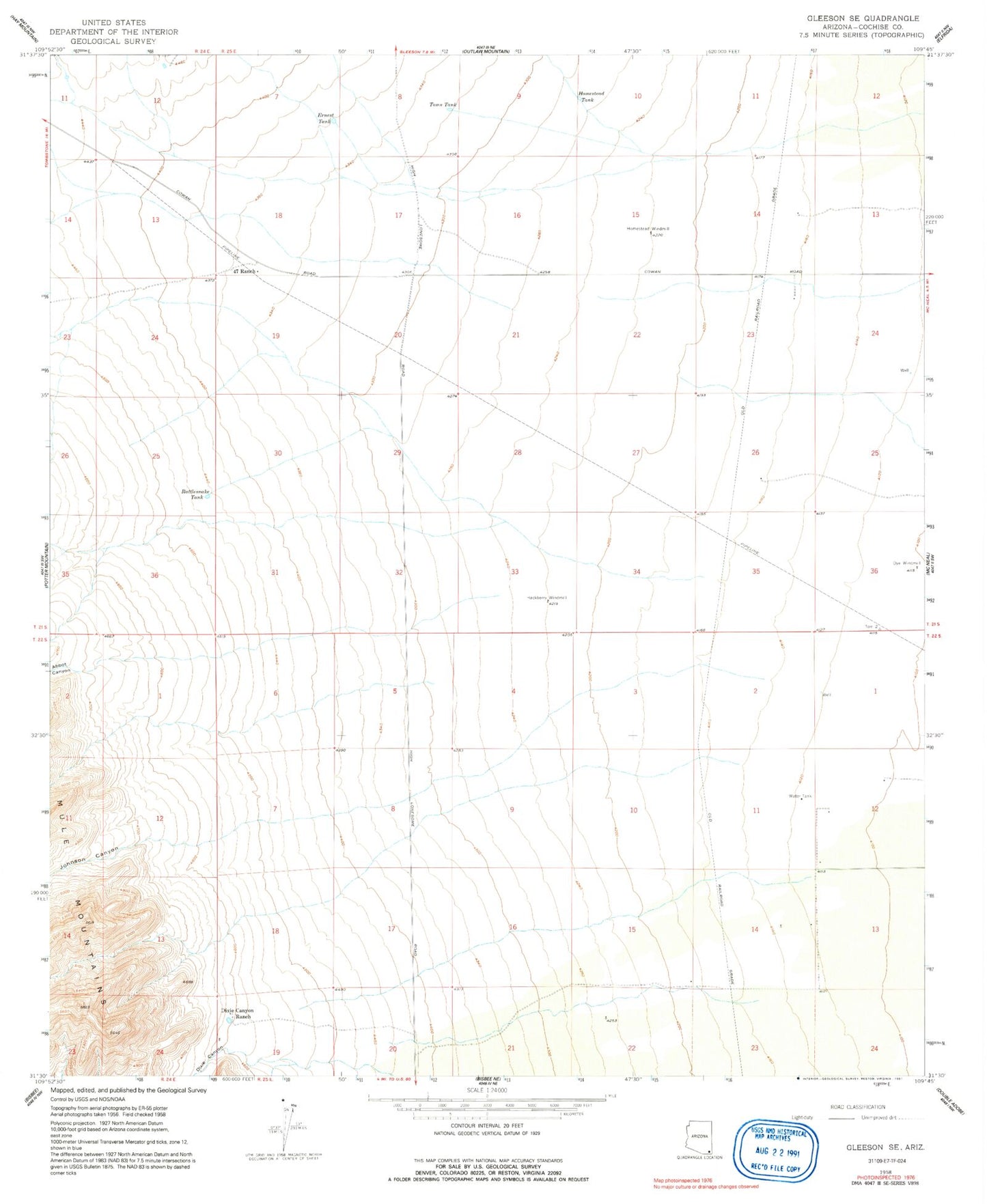
Historical USGS topographic quad map of Gleeson SE in the state of Arizona. Map scale may vary for some years, but is generally around 1:24,000. Print size is approximately 24" x 27"
This quadrangle is in the following counties: Cochise.
The map contains contour lines, roads, rivers, towns, and lakes. Printed on high-quality waterproof paper with UV fade-resistant inks, and shipped rolled.
Contains the following named places: Abbot Canyon, Dixie Canyon, Dixie Canyon Ranch, Dye Windmill, Ernest Tank, Fortyseven Ranch, Hackberry Windmill, Homestead Tank, Homestead Windmill, Johnson Canyon, Rattlesnake Tank, Toms Tank