MyTopo
Classic USGS Glen Allen Alabama 7.5'x7.5' Topo Map
Couldn't load pickup availability
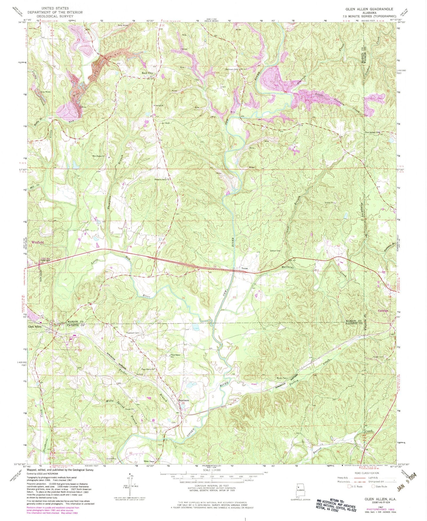
Historical USGS topographic quad map of Glen Allen in the state of Alabama. Map scale may vary for some years, but is generally around 1:24,000. Print size is approximately 24" x 27"
This quadrangle is in the following counties: Fayette, Marion, Walker.
The map contains contour lines, roads, rivers, towns, and lakes. Printed on high-quality waterproof paper with UV fade-resistant inks, and shipped rolled.
Contains the following named places: Bazemore, Beasley Cemetery, Box Cemetery, Brown Cemetery, Central Church, Clifty Creek, Dutton Cemetery, Fern Springs Church, Freeman Branch, Glen Allen, Glen Allen Cemetery, Glen Allen Post Office, Glen Allen Volunteer Fire Department, Gooden Creek, Goodwin Creek, Gulf Branch, Hallmark Cemetery, Holcomb Cemetery, Hopewell Cemetery, Hopewell Church, Humphrey Branch, Liberty Cemetery, Little Goodwin Creek, Little New River, Mallards Creek, Mill Creek, Mills Spring Branch, New Poplar Church, New River, O'Mary Cemetery, Piney Grove Cemetery, Piney Grove Church, Piney Grove Junior High School, Pleasant Grove Cemetery, Pleasant Grove Church, Poplar Springs Cemetery, Poplar Springs School, Rock City, Rock City Church, Rocky Branch, Texas, Thompson Branch, Town of Glen Allen, Tucker Branch, Tucker Cemetery, Turkey Creek, Walker Baccus Family Cemetery, Weeks Cemetery, Whites Chapel Cemetery, Whites Chapel Church of Christ, ZIP Codes: 35554, 35559