MyTopo
Classic USGS Glen Mountains Oklahoma 7.5'x7.5' Topo Map
Regular price
$16.95
Regular price
Sale price
$16.95
Unit price
per
Couldn't load pickup availability
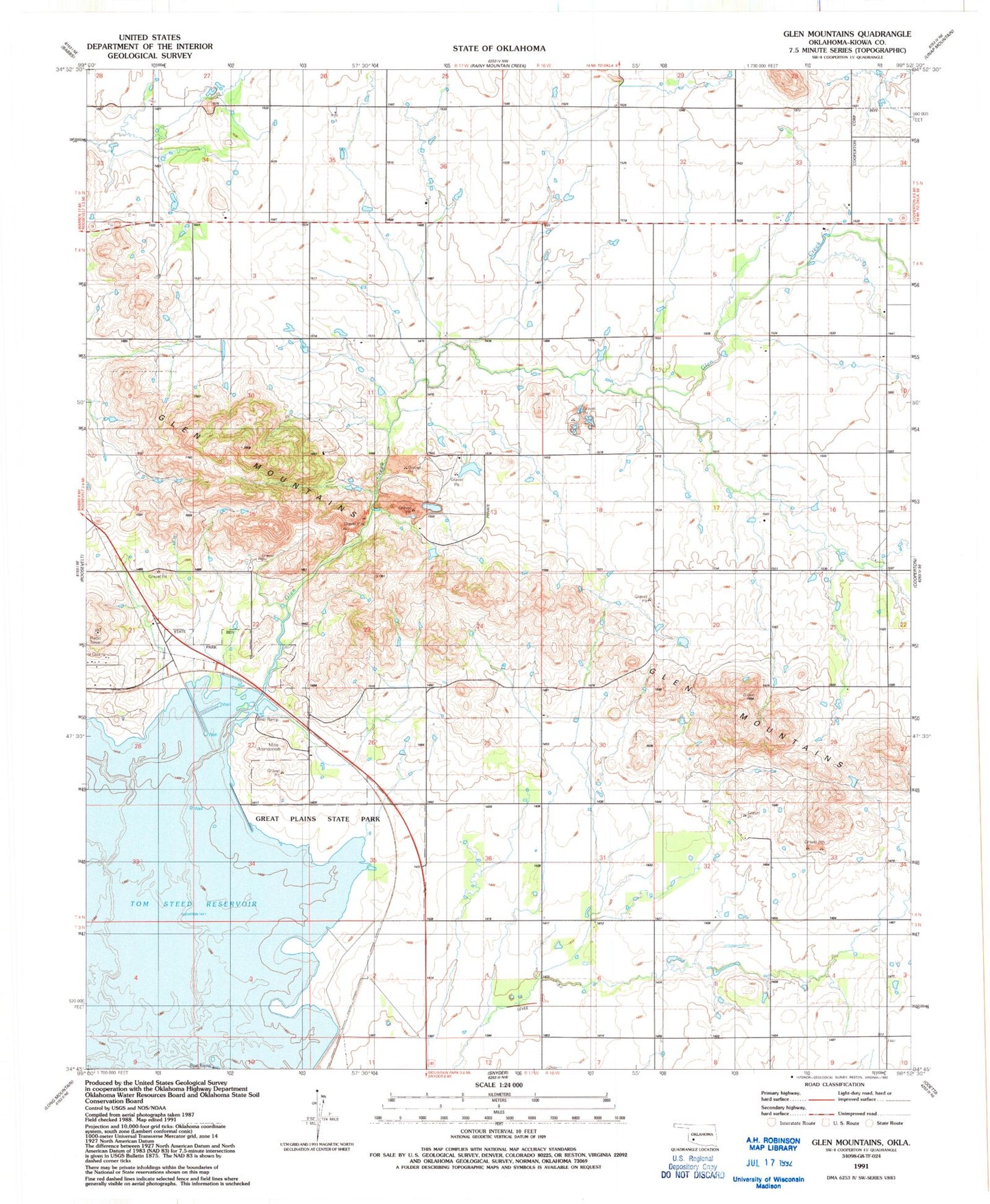
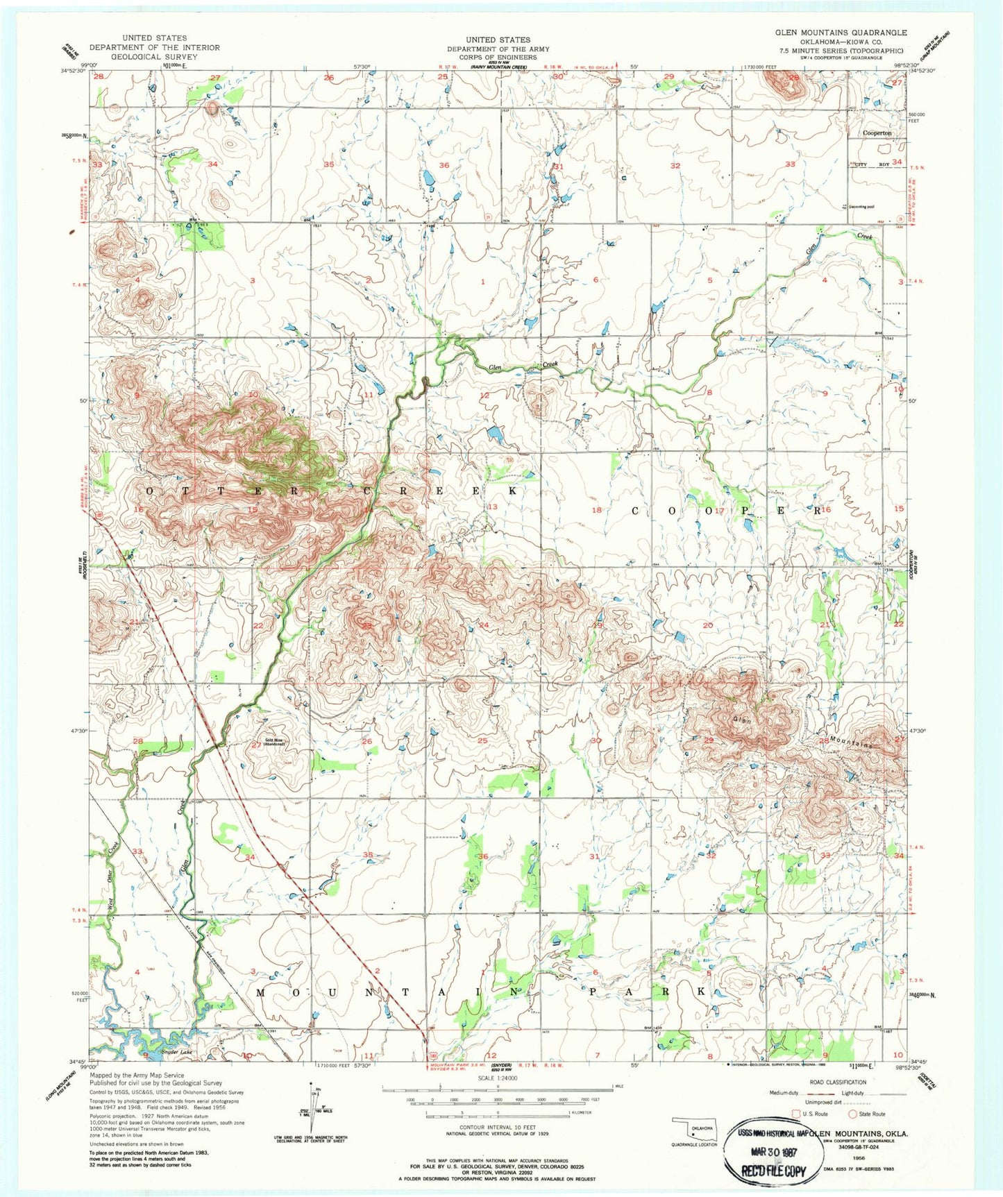
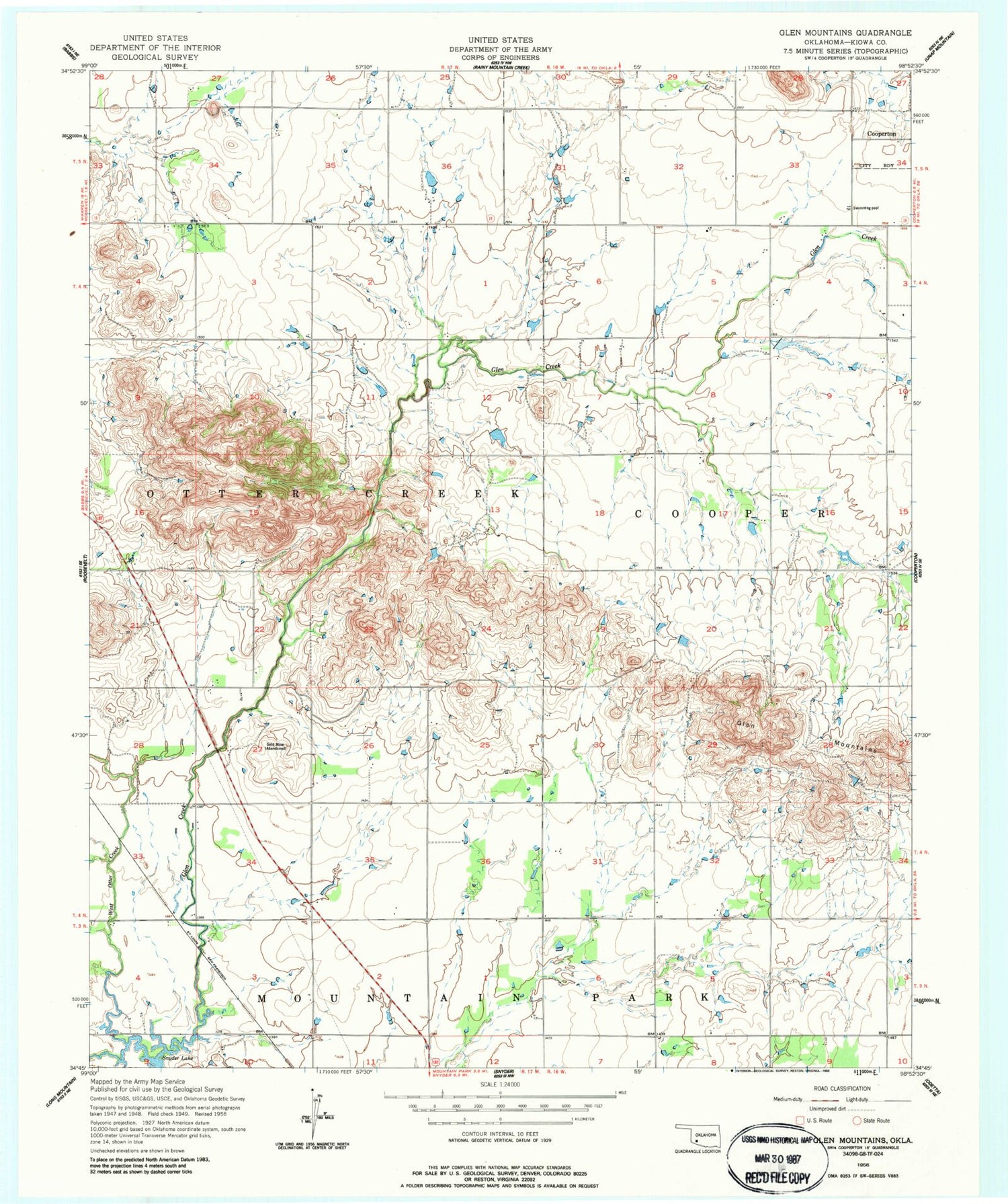
Historical USGS topographic quad map of Glen Mountains in the state of Oklahoma. Map scale may vary for some years, but is generally around 1:24,000. Print size is approximately 24" x 27"
This quadrangle is in the following counties: Kiowa.
The map contains contour lines, roads, rivers, towns, and lakes. Printed on high-quality waterproof paper with UV fade-resistant inks, and shipped rolled.
Contains the following named places: East Dike, Glen Creek, Glen Mountains, Great Plains State Park, Mountain Park Wildlife Area, Roosevelt Division, Tom Steed Reservoir, Town of Cooperton, ZIP Code: 73564