MyTopo
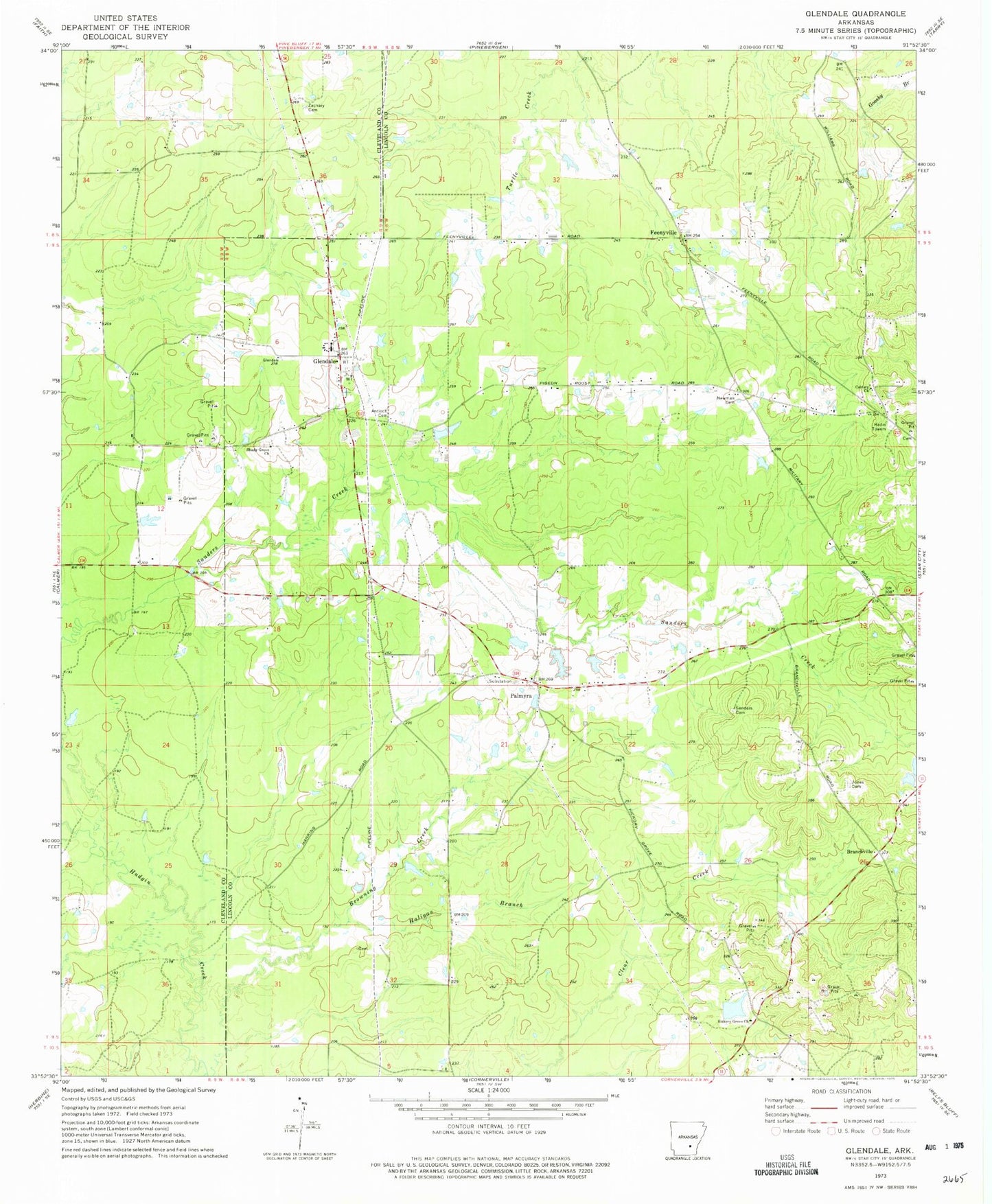
Classic USGS Glendale Arkansas 7.5'x7.5' Topo Map
Couldn't load pickup availability
Historical USGS topographic quad map of Glendale in the state of Arkansas. Map scale may vary for some years, but is generally around 1:24,000. Print size is approximately 24" x 27"
This quadrangle is in the following counties: Cleveland, Lincoln.
The map contains contour lines, roads, rivers, towns, and lakes. Printed on high-quality waterproof paper with UV fade-resistant inks, and shipped rolled.
Contains the following named places: Antioch Cemetery, Bethlehem Missionary Baptist Church, Branchville, Branchville School, Calvary Church, Capps Lake, Capps Lake Dam, Feenyville, Glendale, Glendale Fire Department Substation, Glendale Volunteer Fire Department, Glover Lake, Glover Lake Dam, Haligan Branch, Hickory Grove Baptist Church, Hickory Grove Cemetery, Jones Cemetery, Newman Cemetery, Palmyra, Patocca Lower Lake, Patocca Upper Lake, Patocca Upper Lake Dam, Rest, Sanders Cemetery, Shady Grove Missionary Baptist Church, Township of Owen, Zachary Cemetery