MyTopo
Classic USGS Glengary West Virginia 7.5'x7.5' Topo Map
Couldn't load pickup availability
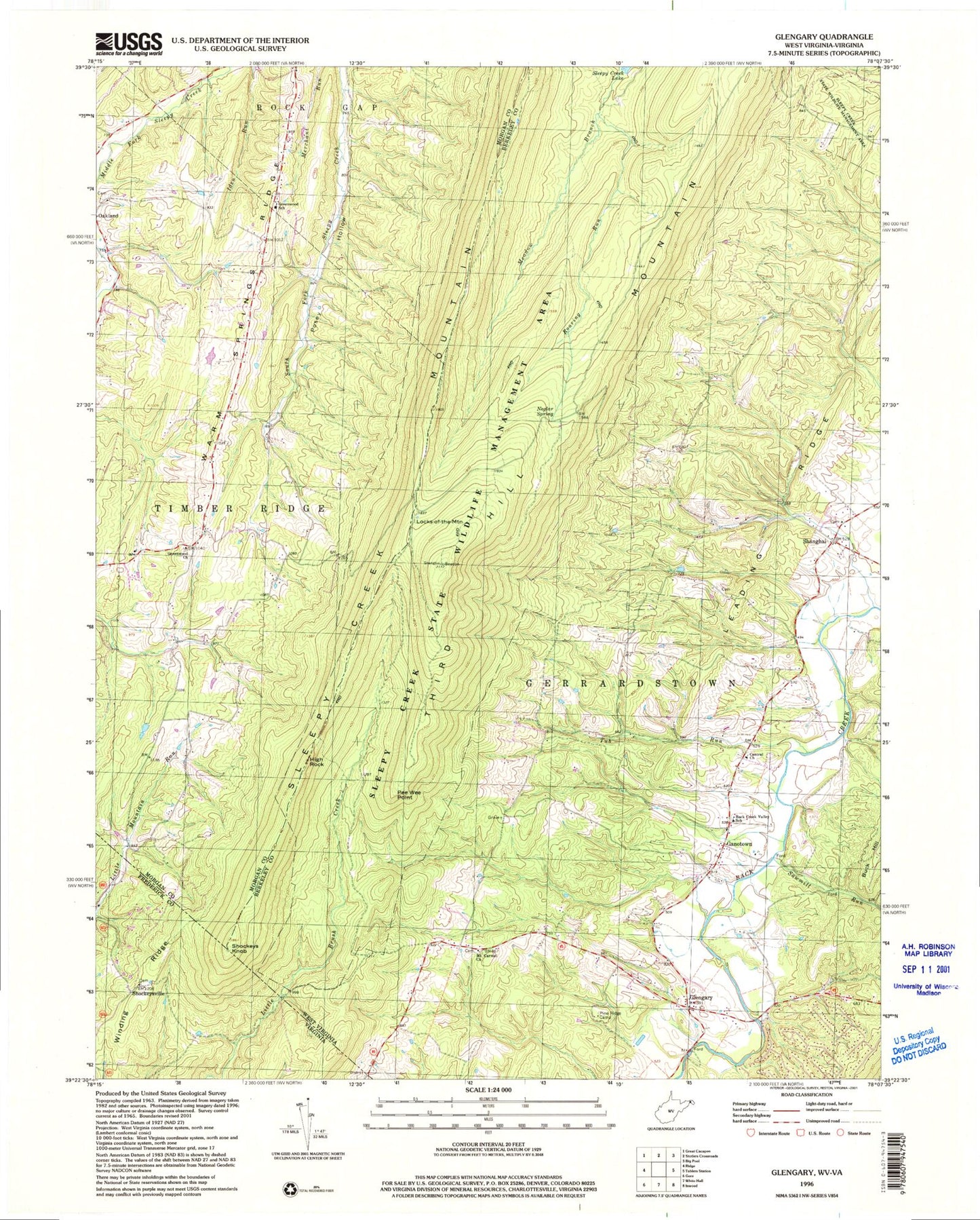
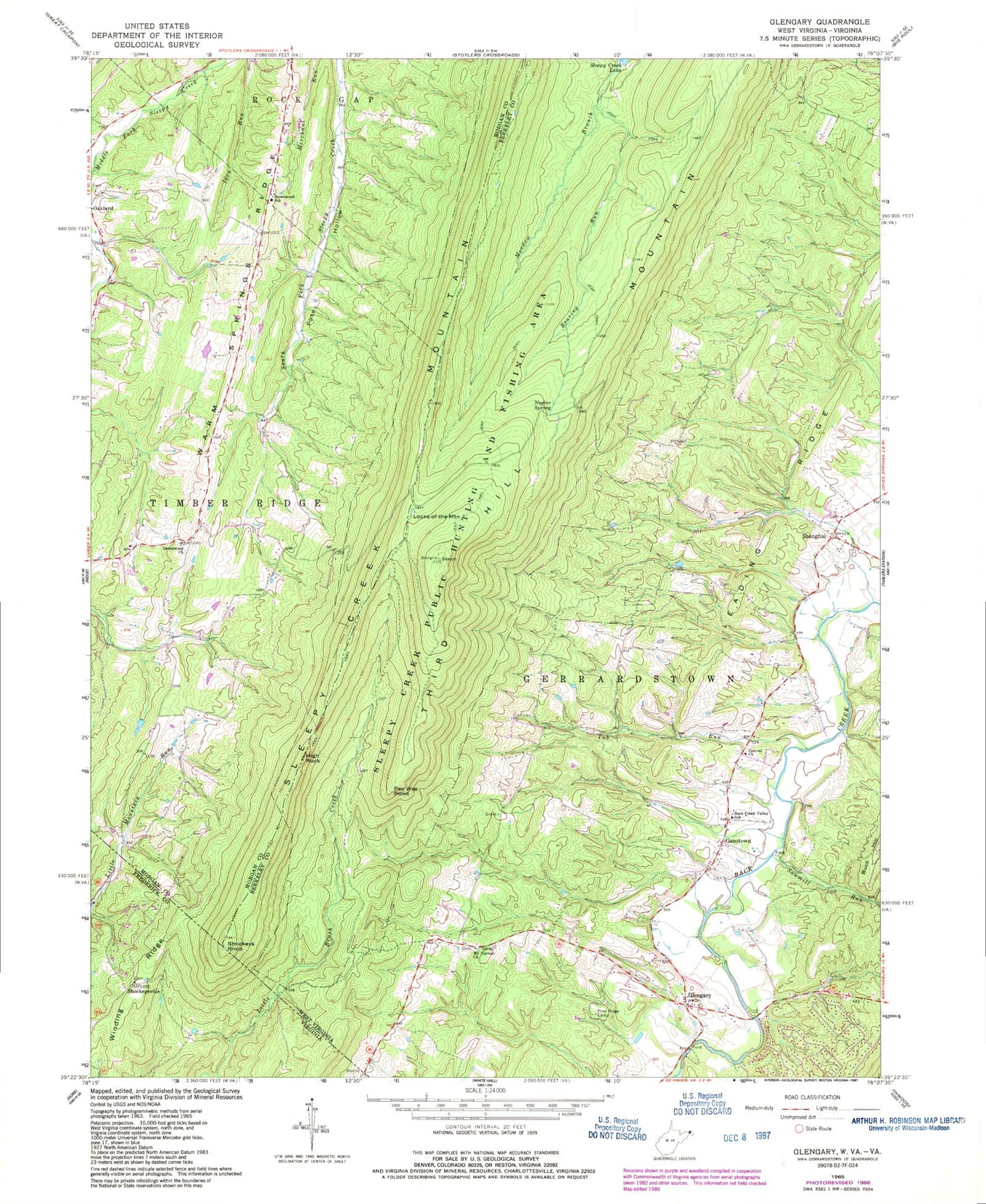
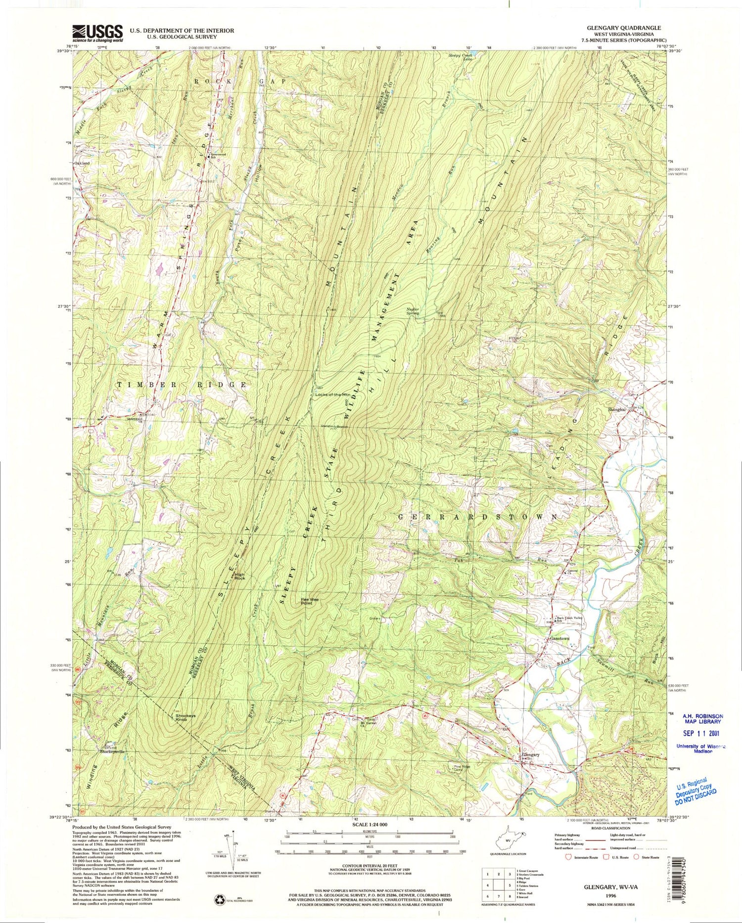
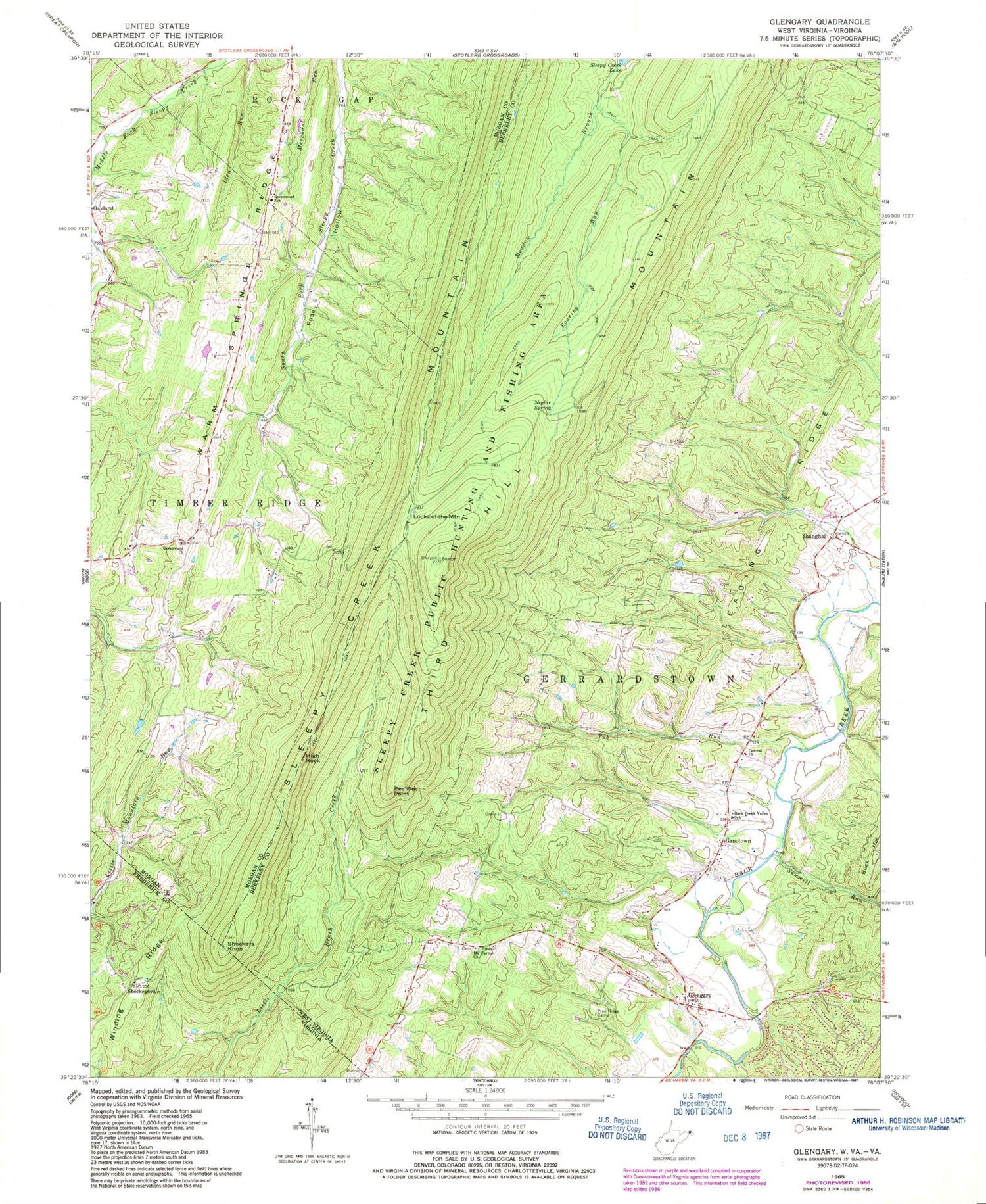
Historical USGS topographic quad map of Glengary in the states of West Virginia, Virginia. Typical map scale is 1:24,000, but may vary for certain years, if available. Print size: 24" x 27"
This quadrangle is in the following counties: Berkeley, Frederick, Morgan.
The map contains contour lines, roads, rivers, towns, and lakes. Printed on high-quality waterproof paper with UV fade-resistant inks, and shipped rolled.
Contains the following named places: Back Creek Valley Elementary School, Central Church, Glengary, Greenwood United Methodist Church, Greenwood Elementary School, Leading Ridge, Locks-of-the-Mountain, Mount Carmel Church, Neglar Spring, Pee Wee Point, Pine Ridge Camp, Roaring Run, Sawmill Run, Shanghai, Sleepy Creek Mountain, Third Hill Mountain, Tub Run, Ganotown, High Rock, Shanghai Sulphur Well Spring, Greenwood, Greenwood School (historical), Oakland Cemetery, Oakland School (historical), Oakland United Methodist Church, Piney Grove School (historical), Greenwood Cemetery, Michaels Farms Airport, Big Run, Central Chapel Cemetery, Ganotown Cemetery, Ganotown Methodist Church, Glengary Post Office, Middle Ridge, Mount Carmel Cemetery, New Hope School (historical), Roe Chapel (historical), Shanghai Presbyterian Cemetery, Shanghai Presbyterian Church (historical), Shanghai School (historical), Sulphur Spring School (historical), Roe Chapel Cemetery, Morgan County Observatory, Back Creek Valley Volunteer Fire Department, South Morgan Volunteer Fire Department, Berkeley County Emergency Ambulance Authority 50, Shockeys Knob, Winding Ridge, Shockeysville, Shockeysville United Methodist Church


