MyTopo
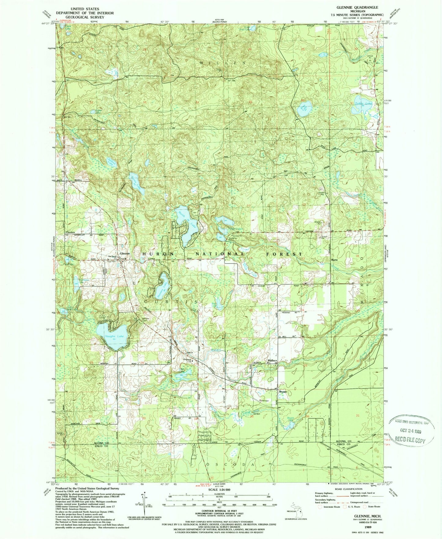
Classic USGS Glennie Michigan 7.5'x7.5' Topo Map
Couldn't load pickup availability
Historical USGS topographic quad map of Glennie in the state of Michigan. Typical map scale is 1:24,000, but may vary for certain years, if available. Print size: 24" x 27"
This quadrangle is in the following counties: Alcona, Iosco.
The map contains contour lines, roads, rivers, towns, and lakes. Printed on high-quality waterproof paper with UV fade-resistant inks, and shipped rolled.
Contains the following named places: Bear Lake, Bliss Lake, Bryant, Bryant Lake, Curtis Lake, Glennie, Glennie Cemetery, Hunters Lake, Indian Lakes, Jenkins Lake, Little Bear Lake, Little Lake, Little Trout Lake, Lott Church, North Lake, Poplar Lake, Thompson Lake, Tubbs Lake, Twin Lake, Vaughn Lake, Wallace, Our Savior Church, Saint Francis Church, Glennie School, Cheviers, Kurtz, Hayes Lookout Tower, Stier Airstrip (historical), Lott Station (historical), Lott Post Office (historical), Kurtz Post Office (historical), Wilber United Methodist Church, Eagle Ridge Golf Course, Curtis Township Library, Curtis Township Hall, Glennie Post Office, Glennie Station (historical), Curtis Township Fire Department, Curtis First Responders