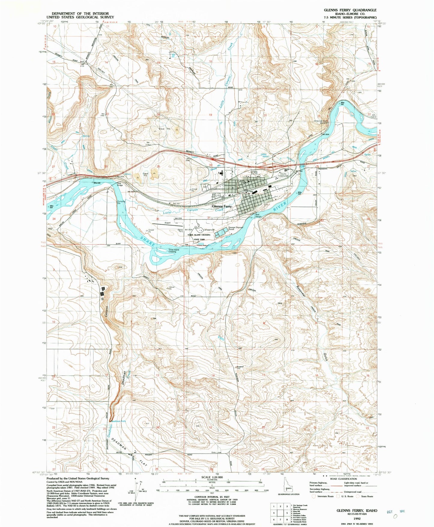
MyTopo
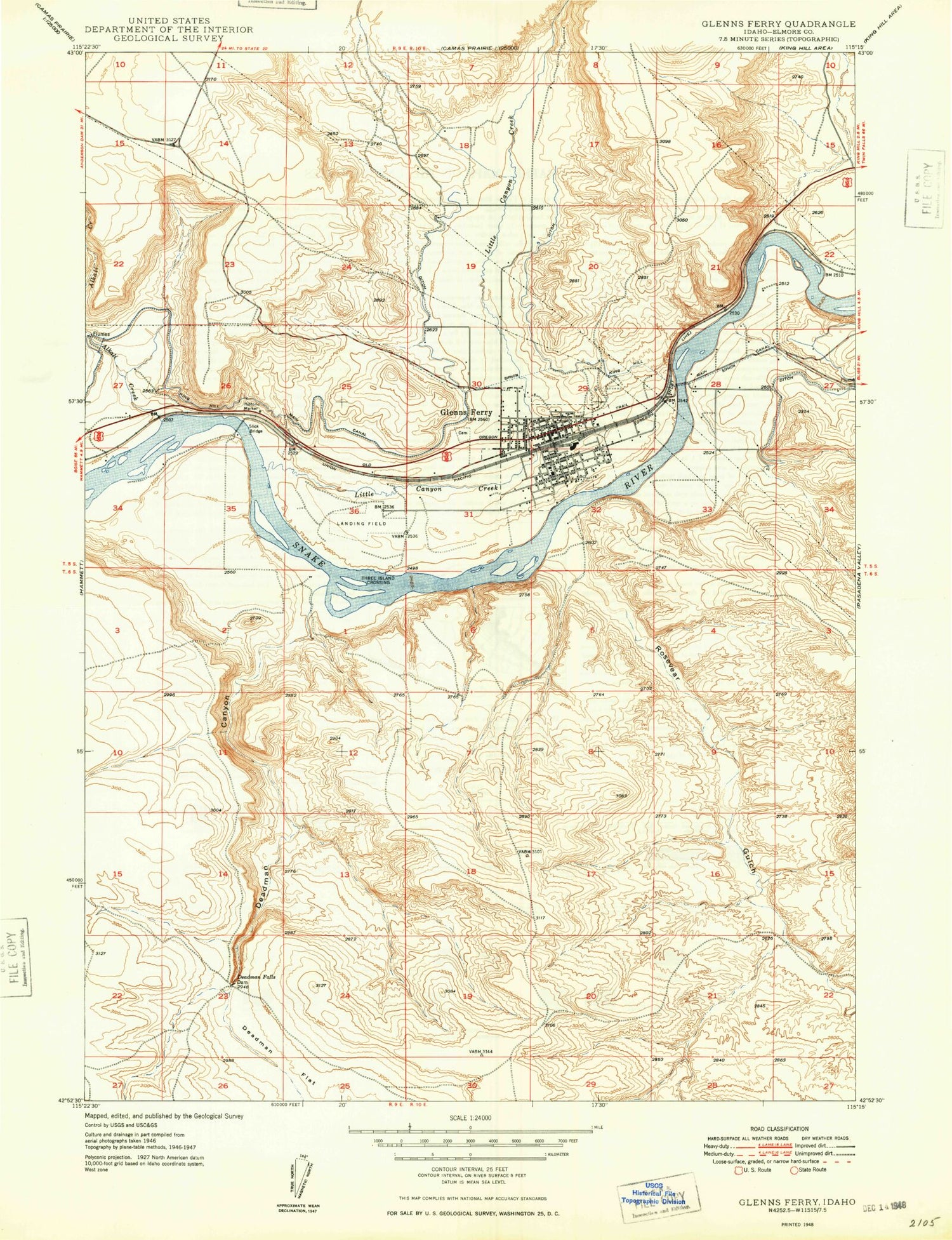
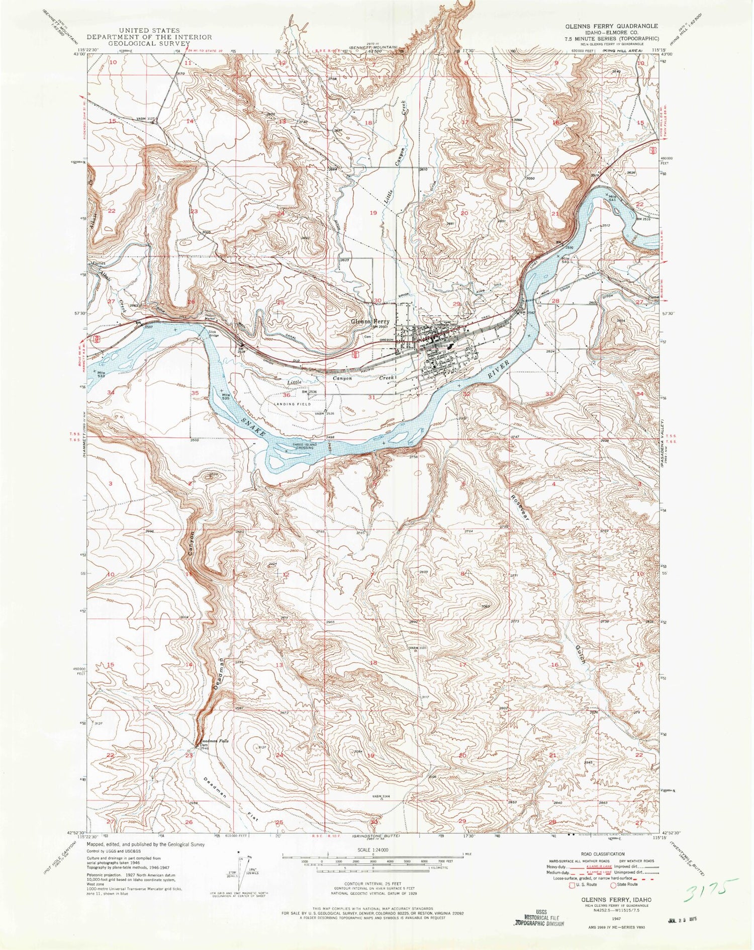
Classic USGS Glenns Ferry Idaho 7.5'x7.5' Topo Map
Couldn't load pickup availability
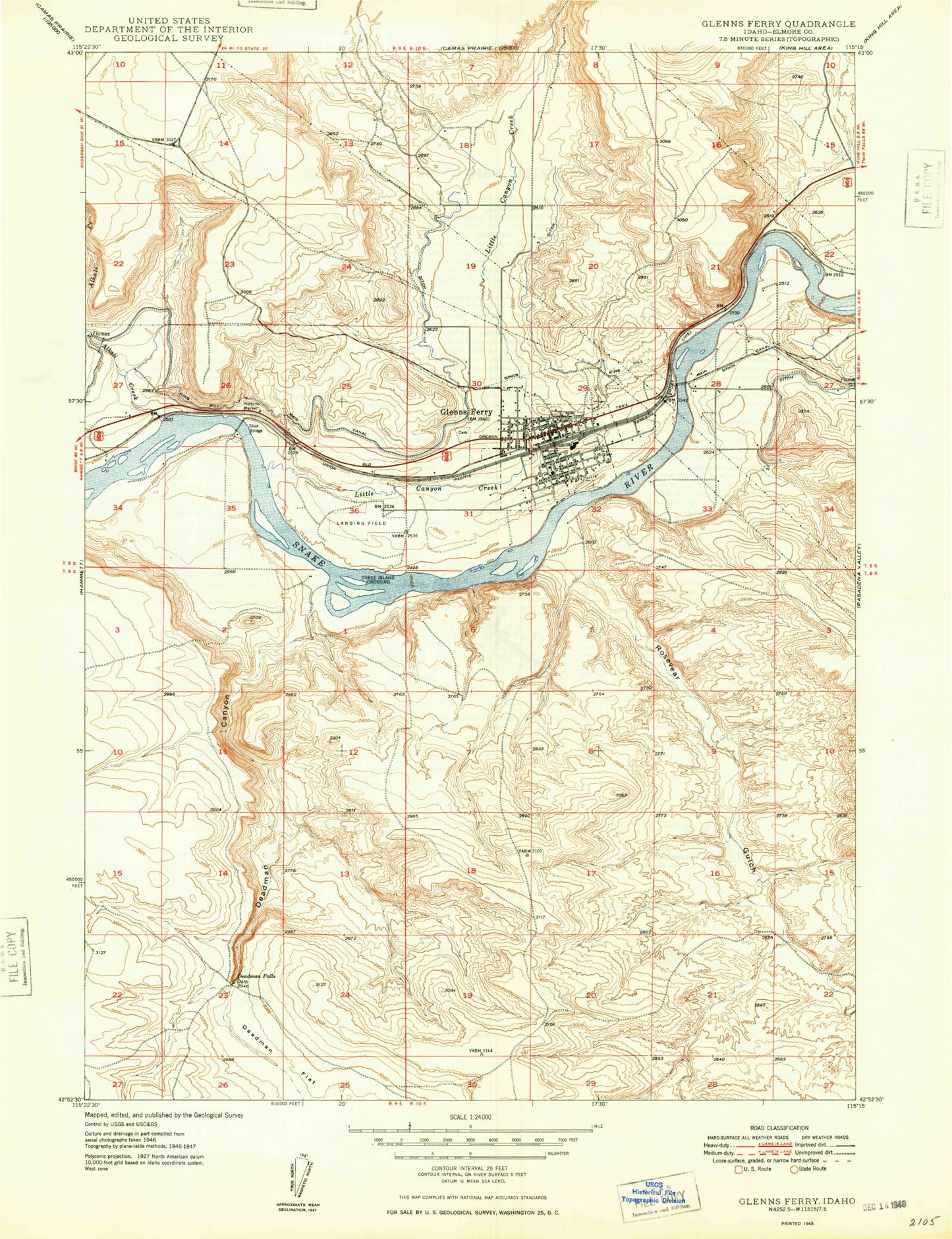
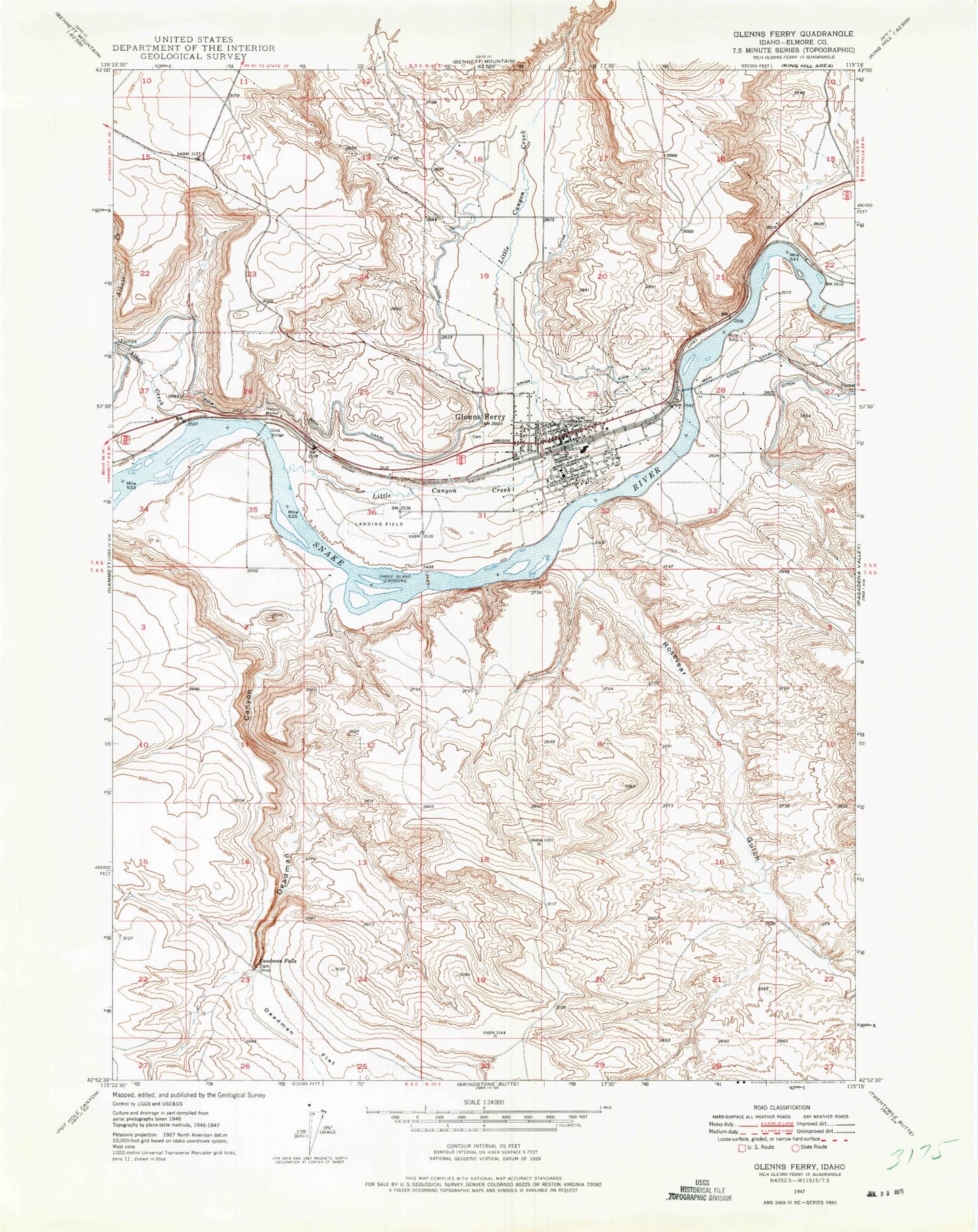
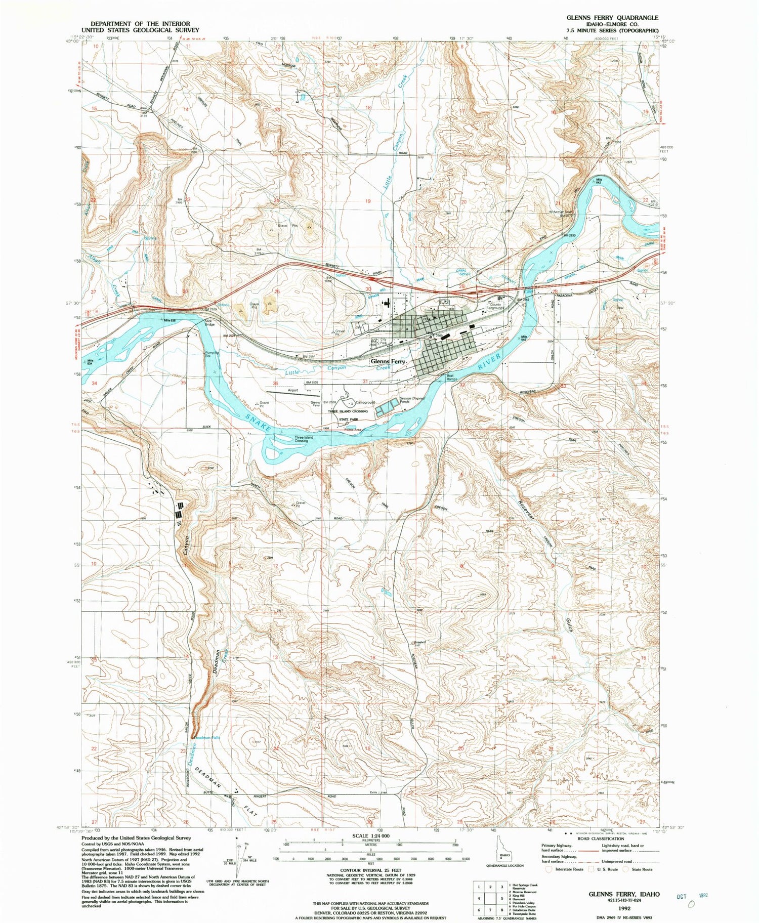
Historical USGS topographic quad map of Glenns Ferry in the state of Idaho. Map scale may vary for some years, but is generally around 1:24,000. Print size is approximately 24" x 27"
This quadrangle is in the following counties: Elmore.
The map contains contour lines, roads, rivers, towns, and lakes. Printed on high-quality waterproof paper with UV fade-resistant inks, and shipped rolled.
Contains the following named places: Alkali Creek, City of Glenns Ferry, Deadman Canyon, Deadman Creek, Deadman Falls, Deadman Flat, Glenn Rest Cemetery, Glenns Ferry, Glenns Ferry Elementary School, Glenns Ferry Fire Department, Glenns Ferry Municipal Airport, Glenns Ferry Police Department, Glenns Ferry Post Office, Glenns Ferry Schools, Glenns Ferry Wildlife Habitat Area, Indian Hole Pond, Little Canyon Creek, Rosevear Gulch, Slick Bridge, Three Island Crossing, Three Island Crossing State Park, Three-Island Crossing Access Area