MyTopo
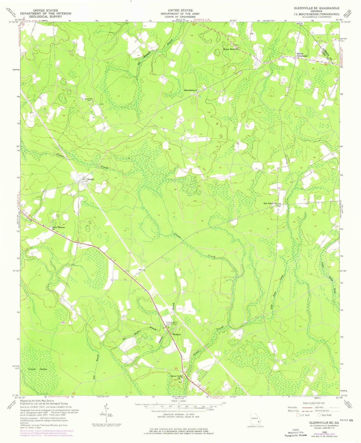
Classic USGS Glennville SE Georgia 7.5'x7.5' Topo Map
Couldn't load pickup availability
Historical USGS topographic quad map of Glennville SE in the state of Georgia. Map scale may vary for some years, but is generally around 1:24,000. Print size is approximately 24" x 27"
This quadrangle is in the following counties: Liberty, Long.
The map contains contour lines, roads, rivers, towns, and lakes. Printed on high-quality waterproof paper with UV fade-resistant inks, and shipped rolled.
Contains the following named places: Beulah School, Cross Road School, Doc Hughes Branch, Donald, Donald School, Fletcher Branch, Fletcher Branch Lookout Tower, Jones Creek Church, Jones Creek School, Little Jones Creek, Ludowici North Division, Macedonia Cemetery, Macedonia Church, Macedonia School, Ochs Grove School, Persimmon Grove School, Poplar Head Church, Roderick, Rye Patch Church, Rye Patch School, Saint Thomas Church, Smiley Crossroads, Vinzant Swamp, Wefanie