MyTopo
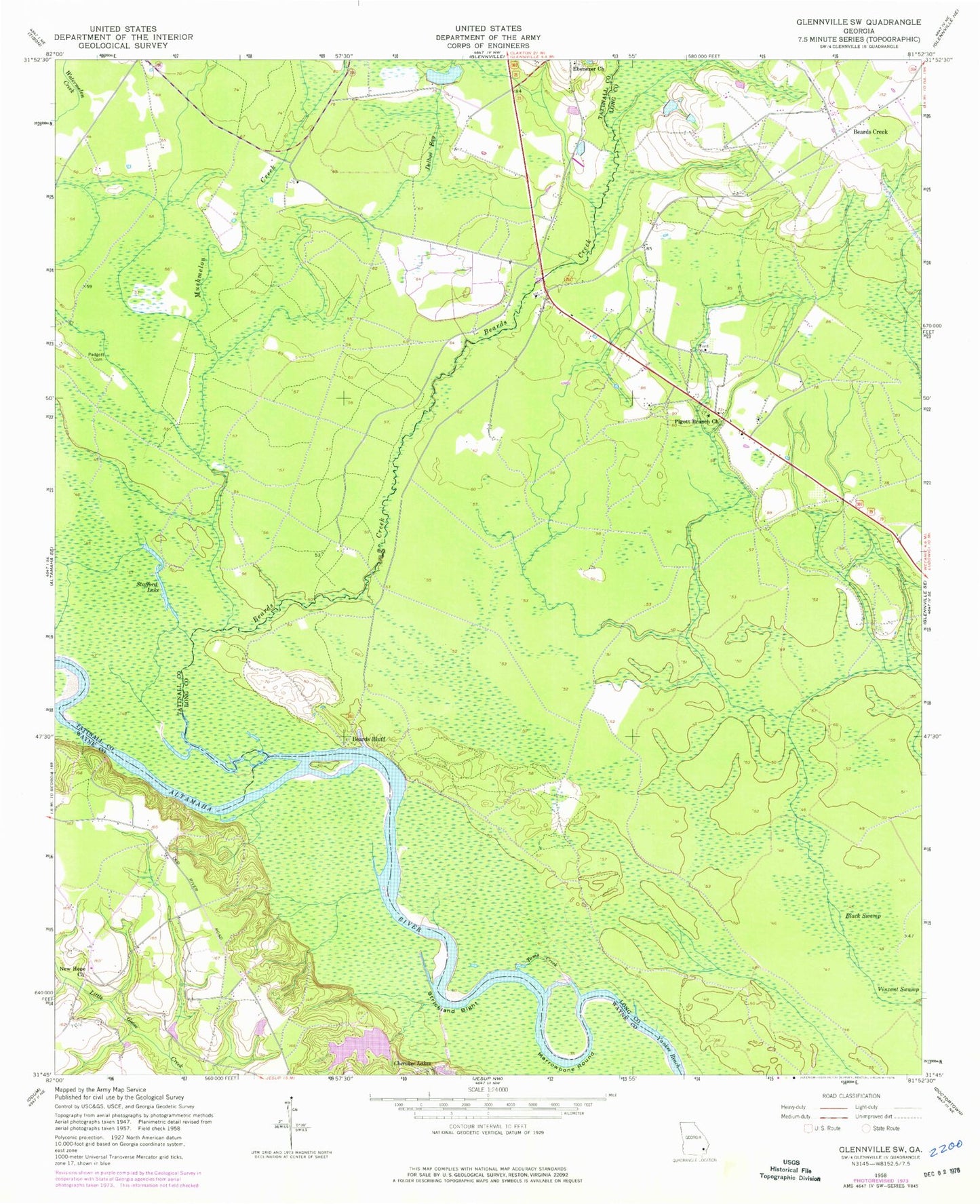
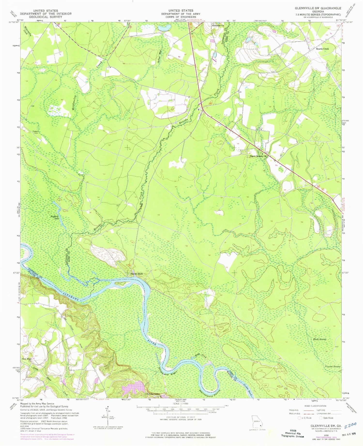
Classic USGS Glennville SW Georgia 7.5'x7.5' Topo Map
Couldn't load pickup availability
Historical USGS topographic quad map of Glennville SW in the state of Georgia. Map scale may vary for some years, but is generally around 1:24,000. Print size is approximately 24" x 27"
This quadrangle is in the following counties: Long, Tattnall, Wayne.
The map contains contour lines, roads, rivers, towns, and lakes. Printed on high-quality waterproof paper with UV fade-resistant inks, and shipped rolled.
Contains the following named places: Beards Bluff, Beards Bluff Ferry, Beards Creek, Beaverdam School, Black Swamp, Central School, Cherokee Lakes, Cherokee Lakes Dam West, Delbos Bay, Ebenezer Church, Grace Church, Hog Lake, Howard Chapel School, Kicklighters Pond, Kicklighters Pond Dam, Lumber Bridge, Marrowbone Round, Mitchell Lake, Mushmelon Creek, New Hope Church, New Hope School, Noble, Padgett Cemetery, Pigott Branch Church, Stafford Lake, Stooping Gum Island, Strickland Bight, Tar Landing, Toms Creek, Yankee Reach


