MyTopo
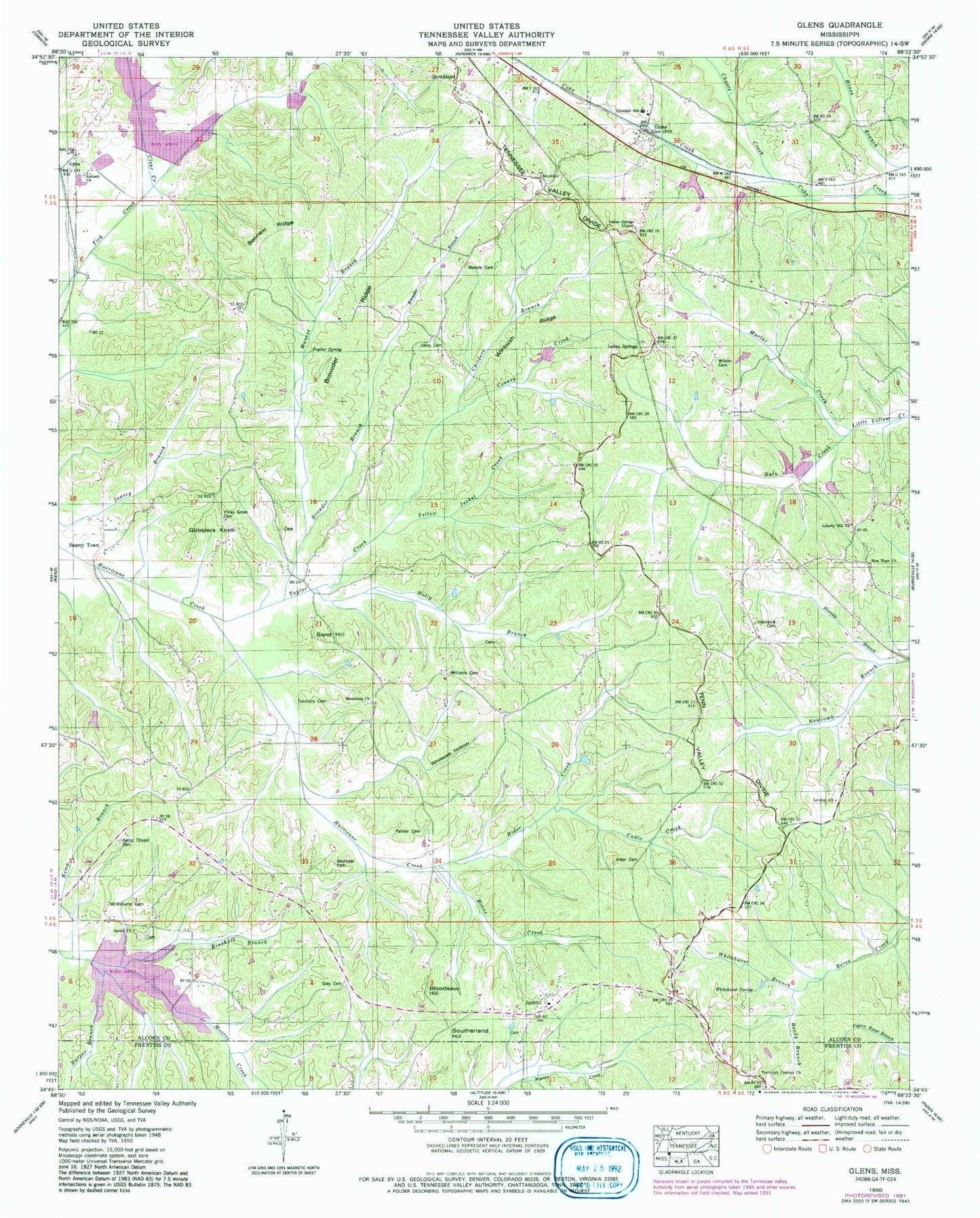
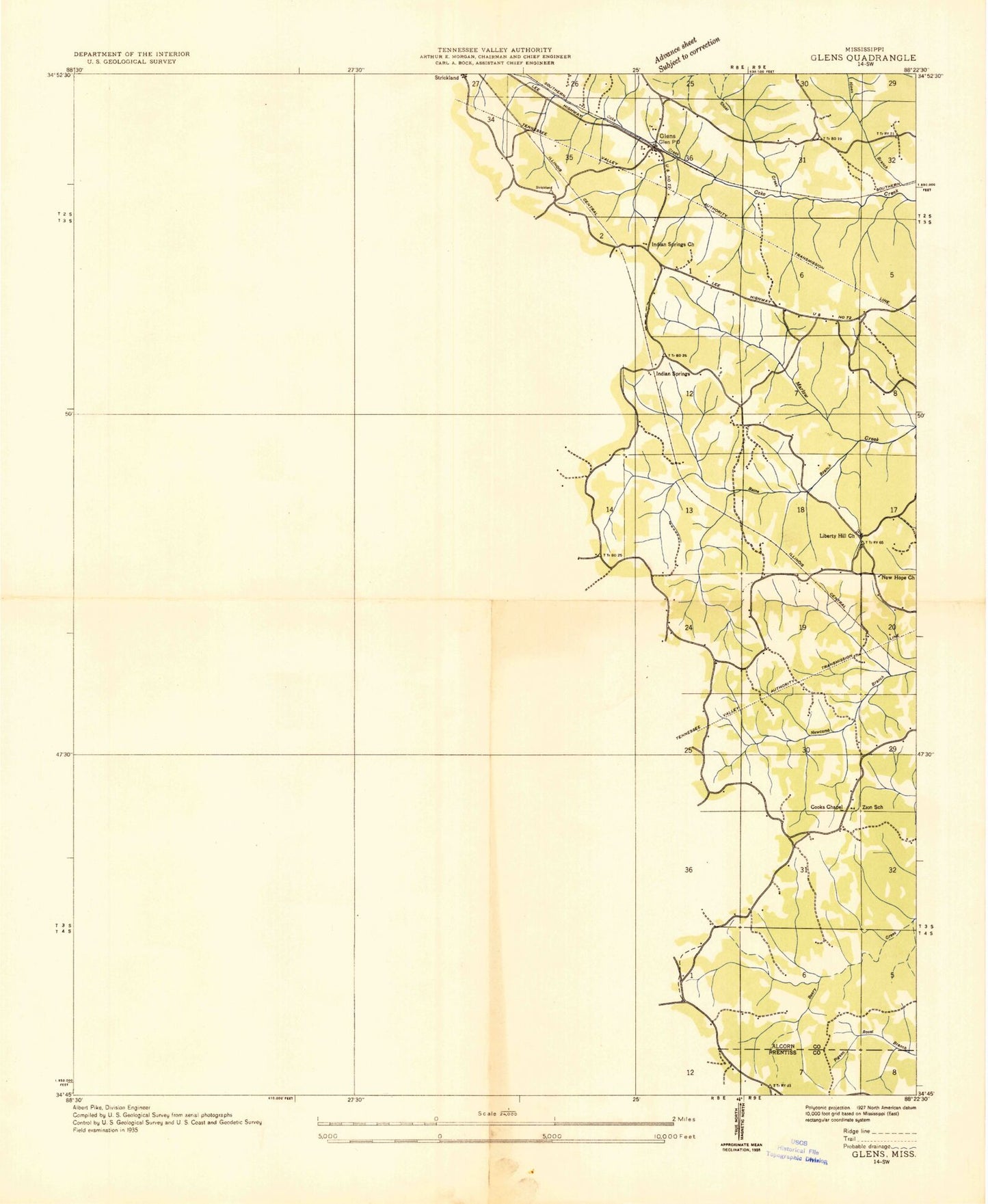
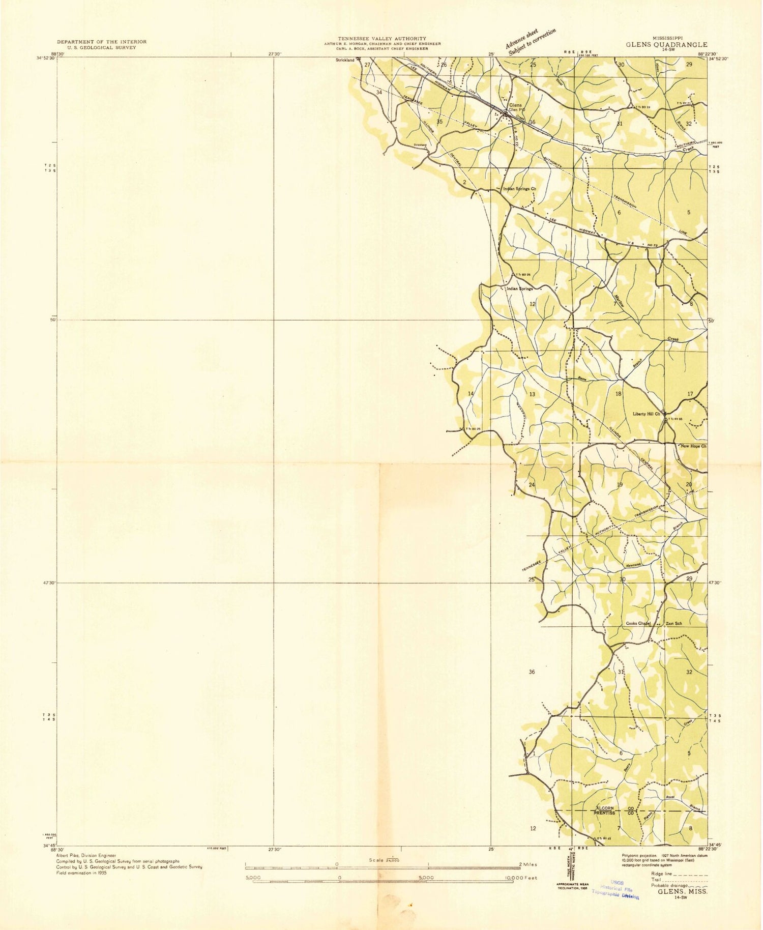
Classic USGS Glens Mississippi 7.5'x7.5' Topo Map
Couldn't load pickup availability
Historical USGS topographic quad map of Glens in the state of Mississippi. Map scale may vary for some years, but is generally around 1:24,000. Print size is approximately 24" x 27"
This quadrangle is in the following counties: Alcorn, Prentiss.
The map contains contour lines, roads, rivers, towns, and lakes. Printed on high-quality waterproof paper with UV fade-resistant inks, and shipped rolled.
Contains the following named places: Alcorn, Antioch Church, Arbor Cemetery, Bain Creek, Bennett Ridge, Bloodsaw Hill, Boone Creek, Boshers Cemetery, Browder Branch, Browder Ridge, Cadle Creek, Childers Branch, Choate Creek, Cooney Creek, Floyds Store, Glen Post Office, Glen Volunteer Fire Department, Glendale Baptist Church, Glendale School, Glens, Gobblers Knob, Gray Cemetery, Hardwick Cemetery, Harper Branch, Harville Branch, Hickory Flat School, Hinton School, Holly Branch, Houston Farris Pond Dam, Howard Little Pond Dam, Indian Springs, Indian Springs Church, Jacinto, Jacinto Cemetery, Jacinto Census Designated Place, Jacinto School, Jacinto Volunteer Fire Department, Jobes, Johns Cemetery, Juliett School, Juliette Cemetery, Liberty Hill Church, Liberty Hill School, Little Lake Dam, Lovejoy Church, Macedonia Church, Malone Cemetery, Maness Branch, Marlar Creek, McWilliams Cemetery, New Hope Church, Old Kemps Chapel Cemetery, Palmer Cemetery, Poplar Spring, Railroad Branch, Reedy Branch, Rider Creek, Rinehart Branch, Rowland Mills School, Sand Hill, Sardis Primitive Baptist Church, Searcy Town, Southerland Hill, Supervisor District 2, Taylor Creek, Tick Creek, Timmons Cemetery, Town of Glen, Tuscumbia Watershed Structure 8 Dam, Twentieth Century Church, Union School, White Oak Hollow, Whitehurst Branch, Whitehurst Spring, Wilbanks Lake Dam, Williams Cemetery, Wilson Cemetery, Winbush Ridge, Yellow Jacket Creek, Zion School, ZIP Code: 38846


