MyTopo
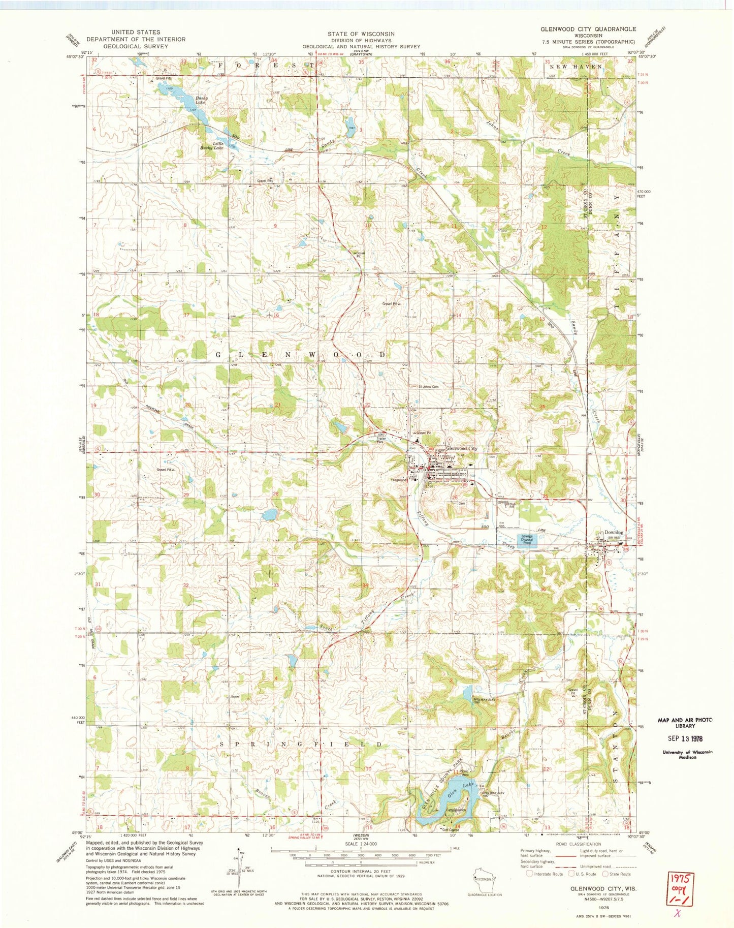
Classic USGS Glenwood City Wisconsin 7.5'x7.5' Topo Map
Couldn't load pickup availability
Historical USGS topographic quad map of Glenwood City in the state of Wisconsin. Map scale may vary for some years, but is generally around 1:24,000. Print size is approximately 24" x 27"
This quadrangle is in the following counties: Dunn, St. Croix.
The map contains contour lines, roads, rivers, towns, and lakes. Printed on high-quality waterproof paper with UV fade-resistant inks, and shipped rolled.
Contains the following named places: 1 Reservoir, 1.34 Reservoir, 2 Reservoir, 3 Reservoir, 54013, 54734, Beaver Valley School, Bushy Lake, Camp Nine School, City of Glenwood City, Downing, Glen Hills 1 G-716 Dam, Glen Hills 10 G-716 Dam, Glen Hills 11 G-716 Dam, Glen Hills 2 G 716 Dam, Glen Hills 3 G 716 Dam, Glen Hills 4 G-716 Dam, Glen Hills 5 G-716 Dam, Glen Hills 6 G716 Dam, Glen Hills 7 G-716 Dam, Glen Hills 8 G-716 Dam, Glen Hills County Park, Glen Lake, Glenwood City, Glenwood City Ambulance Service, Glenwood City Elementary School, Glenwood City Fire Department, Glenwood City High School, Glenwood City Middle - High School, Glenwood City Police Department, Glenwood City Post Office, Little Bushy Lake, Maple Grove School, Mar-O-Dae Farm Airport, Mission Church, Pine Heights School, Ridge View School, Roddis School, Ryan Creek, Saint John the Baptist Catholic Cemetery, Schindler School, South Tiffany Creek, Stephens Creek, Sunny Slope School, Town of Glenwood, Transitional Skills Center