MyTopo
Classic USGS Glenwood Alabama 7.5'x7.5' Topo Map
Couldn't load pickup availability
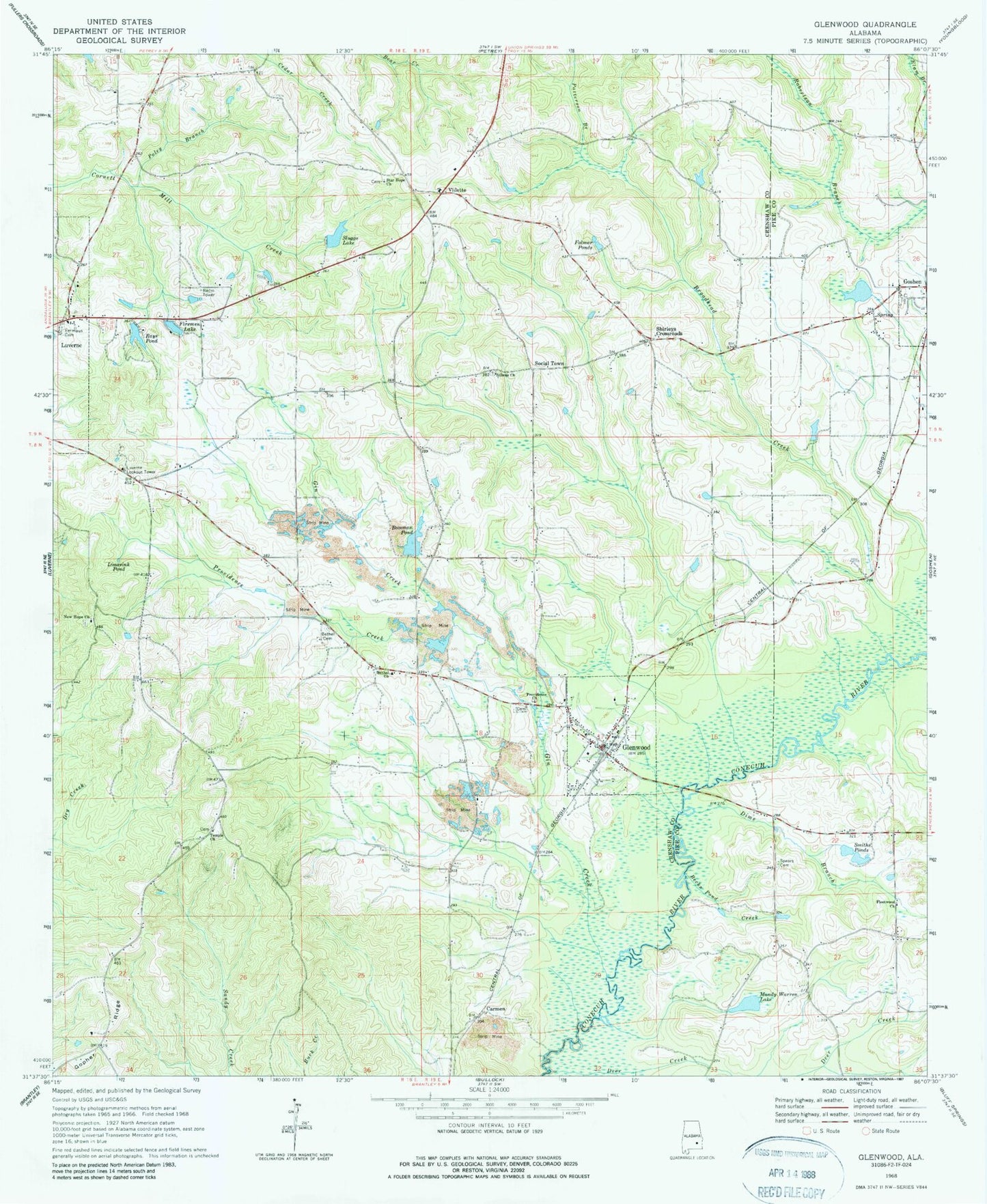
Historical USGS topographic quad map of Glenwood in the state of Alabama. Map scale may vary for some years, but is generally around 1:24,000. Print size is approximately 24" x 27"
This quadrangle is in the following counties: Crenshaw, Pike.
The map contains contour lines, roads, rivers, towns, and lakes. Printed on high-quality waterproof paper with UV fade-resistant inks, and shipped rolled.
Contains the following named places: Athens Church, Becks Pond Creek, Bethel Cemetery, Bethel Church, Bozeman Pond, Bozeman Pond Dam, Camp Sharon Campground, Carmen, Cedar Creek, Crossroads Church, Deer Creek, Devilin Branch, Dime Branch, Emmaus Cemetery, Firemen Lake, Fleetwood Baptist Church, Fleetwood School, Folmer Ponds, Gin Creek, Glenwood, Glenwood Post Office, Glenwood Volunteer Fire Department, Gopher Ridge, Goshen Volunteer Fire Department, Kingsley, Limesink Pond, Luverne Lookout Tower, Mandy Warren Lake, New Hope Church, New Hope School, New Providence Cemetery, Patterson Branch, Poley Branch, Providence Church, Providence Creek, Rays Pond, Rays Pond Dam, Shirleys Crossroads, Sluggs Dam, Sluggs Lake, Smiths Ponds, Social Town, Spears Cemetery, Speirs Bridge, Star Hope Church, Star Hope School, Temple Church, Town of Glenwood, Vidette, White Rock Church