MyTopo
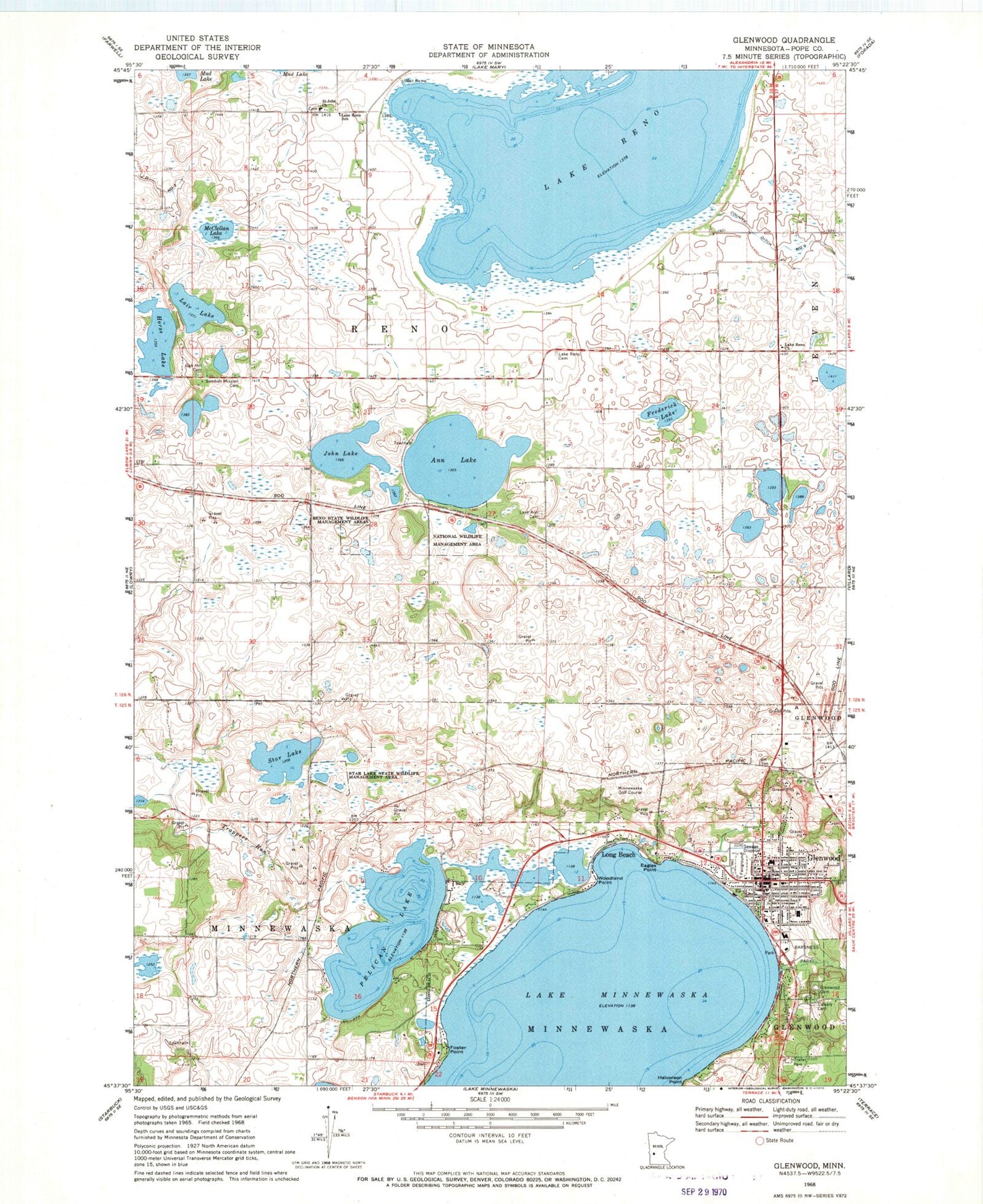
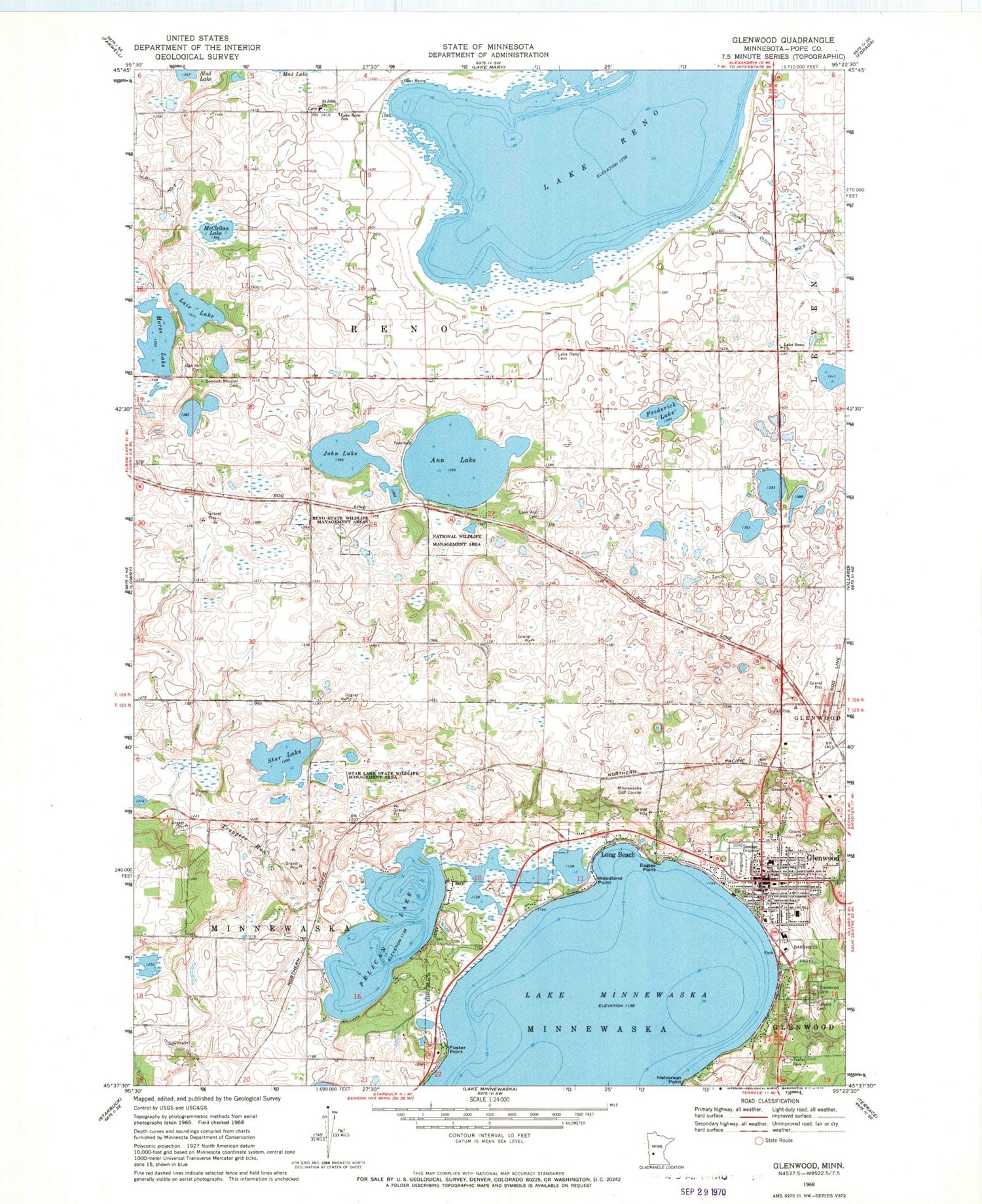
Classic USGS Glenwood Minnesota 7.5'x7.5' Topo Map
Couldn't load pickup availability
Historical USGS topographic quad map of Glenwood in the state of Minnesota. Map scale may vary for some years, but is generally around 1:24,000. Print size is approximately 24" x 27"
This quadrangle is in the following counties: Pope.
The map contains contour lines, roads, rivers, towns, and lakes. Printed on high-quality waterproof paper with UV fade-resistant inks, and shipped rolled.
Contains the following named places: Ann Lake, Barsness Park, Chief White Bear Grave, City of Glenwood, City of Long Beach, County Ditch Number Nine, Eagles Point, First Baptist Church, Foster Point, Frederick Lake, Glacial Ridge Health System, Glenwood, Glenwood Catholic Church, Glenwood Cemetery, Glenwood City Hall, Glenwood City Park, Glenwood Fire Department, Glenwood Lutheran Church, Glenwood Medical Center, Glenwood Plaza Center, Glenwood Police Department, Glenwood Post Office, Glenwood Public Library, Glenwood Region Historical Marker, Glenwood United Parish, Glenwood Wayside Park, Halvorson Point, Horse Lake, Indian Mounds Park, John Lake, Kingdom Hall of Jehovahs Witnesses, Lair Lake, Lake Ann Cemetery, Lake Reno, Lake Reno Cemetery, Lake Reno Church, Lake Reno School, Lakeview Good Samaritan Center, Long Beach, McClellan Lake, Minnewaska Area High School, Minnewaska Golf Course, Mount Lookout Park, Nordgaard Elementary School, Oak Hill Cemetery, Pelican Lake, Pelican Lake Inlet Dam, Pope County Courthouse, Pope County Fairgrounds, Pope County Historical Museum, Pope County Sheriff's Office, Reno State Wildlife Management Area, Saint John Church, Saint John's Cemetery, Star Lake, Star Lake State Wildlife Management Area, Swedish Mission Cemetery, Township of Minnewaska, Township of Reno, Trappers Run, Woodland Point, Woodlawn Resort and Campground


