MyTopo
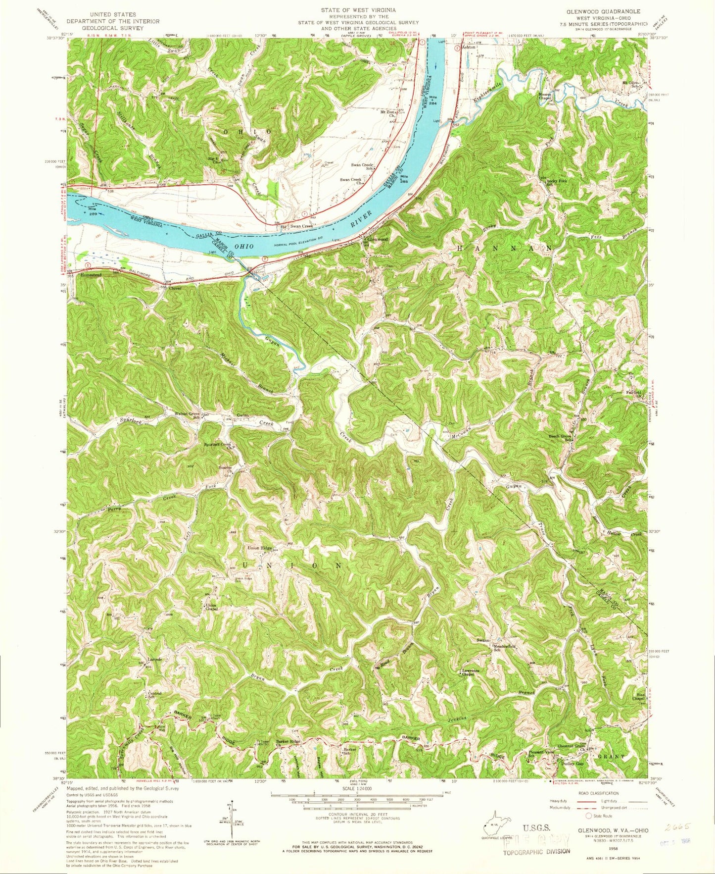
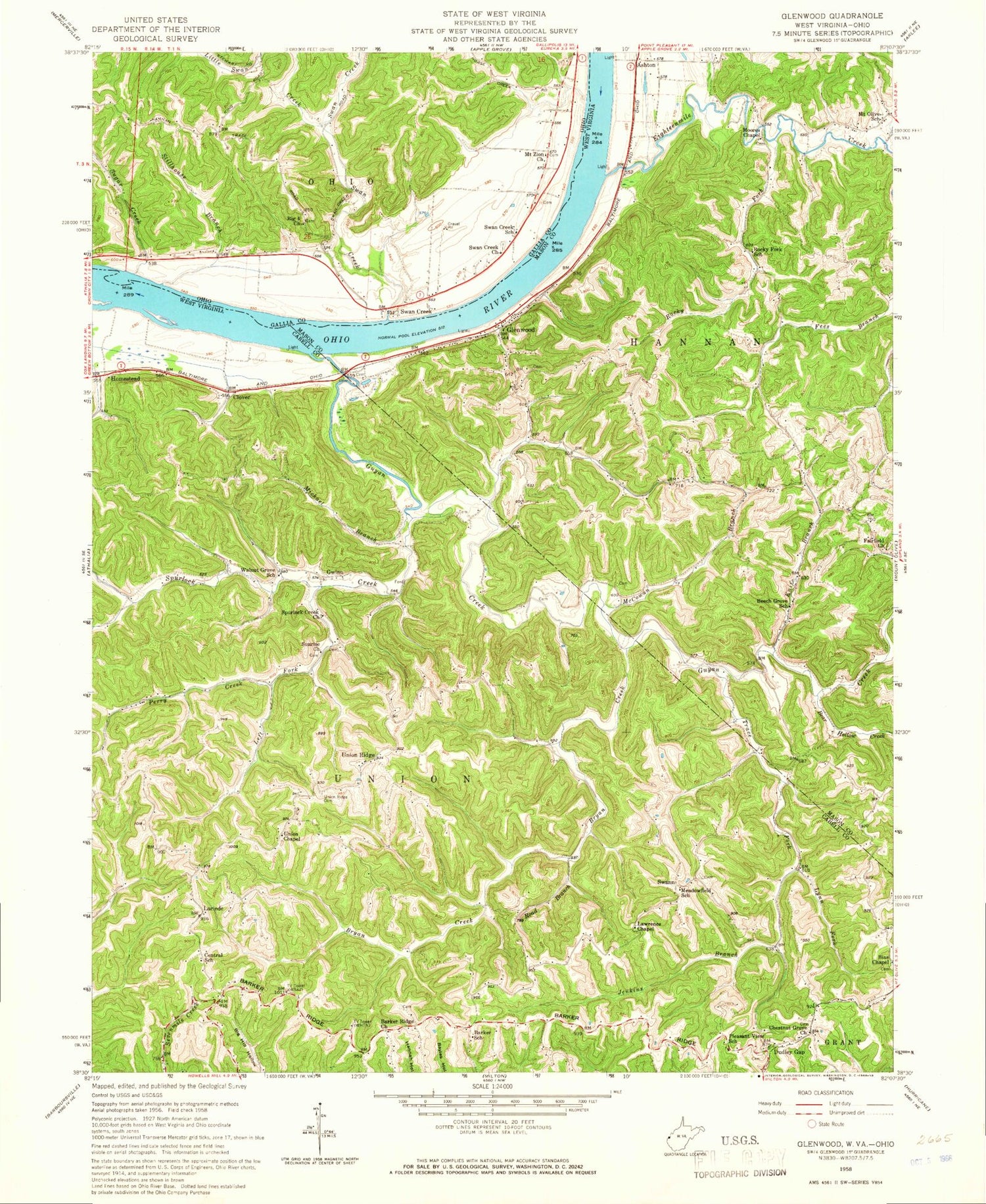
Classic USGS Glenwood West Virginia 7.5'x7.5' Topo Map
Couldn't load pickup availability
Historical USGS topographic quad map of Glenwood in the states of West Virginia, Ohio. Map scale may vary for some years, but is generally around 1:24,000. Print size is approximately 24" x 27"
This quadrangle is in the following counties: Cabell, Gallia, Mason.
The map contains contour lines, roads, rivers, towns, and lakes. Printed on high-quality waterproof paper with UV fade-resistant inks, and shipped rolled.
Contains the following named places: Ashton, Barker Ridge, Barker Ridge Cemetery, Barker Ridge Church, Barker School, Bear Hollow Creek, Beech Grove School, Bexfield Cemetery, Big 4 Church, Big Four Cemetery, Big Four Hill, Bryan Creek, Central School, Chestnut Grove Cemetery, Chestnut Grove Church, Clover, Clover Railroad Overpass, Cottonwood Bar, Dudley Gap, Eighteenmile Creek, Fairfield Church, Glenwood, Glenwood Post Office, Green Bottom Wildlife Management Area, Guyan Creek, Gwinn, Hannon Landing, Homestead, Horse Creek, Jenkins Branch, Jenkins Plantation Museum, Knife Branch, Lacey Lane Post Light, Lawrence Chapel, Left Fork Sprulock Creek, Little Swan Creek, Lynn Fork, McCowan Branch, McCoy - Starkey Cemetery, McFanns Landing, Meadowfield School, Michael Branch, Milton Volunteer Fire Department Barker Ridge Substation, Moores Chapel, Moores Chapel Cemetery, Mount Olive School, Mount Zion Baptist Church, Mount Zion Cemetery, Perry Creek, Pleasant View School, Road Branch, Rocky Fork, Spurlock Creek, Spurlock Creek Church, Stillhouse Branch, Sugar Creek, Sunrise Church, Swan Creek, Swan Creek Church, Swan Creek Methodist Episcopal Cemetery, Swan Creek Post Office, Swan Creek School, Swann, Trace Fork, Union Baptist Church, Union Ridge, Union Ridge Cemetery, WAEZ-FM (Milton), Walnut Grove School, Waughs Landing, WOWK-TV (Huntington), WSAZ-TV (Huntington), ZIP Code: 25520


