MyTopo
Classic USGS Goat Peak Nevada 7.5'x7.5' Topo Map
Regular price
$16.95
Regular price
Sale price
$16.95
Unit price
per
Couldn't load pickup availability
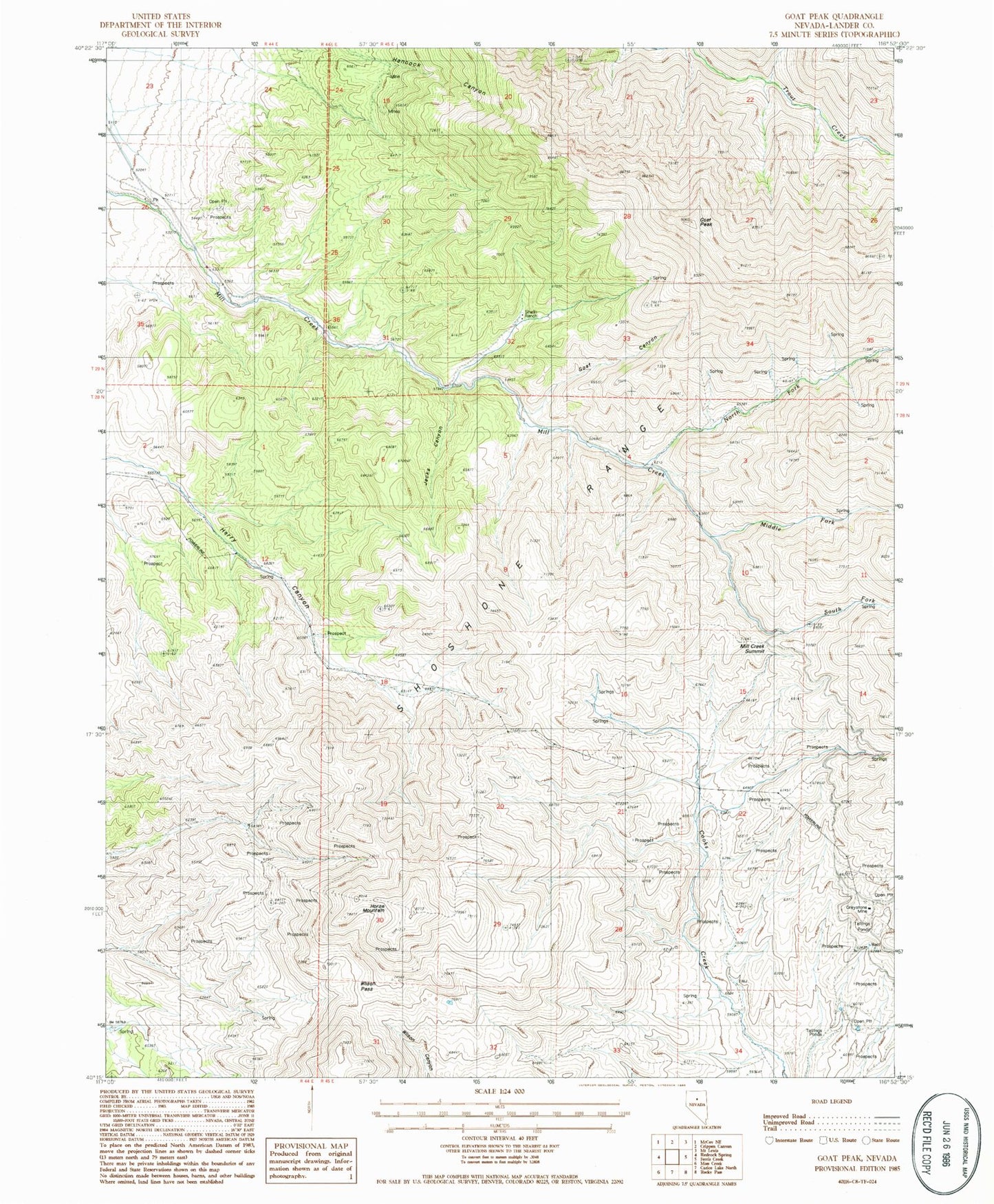
Historical USGS topographic quad map of Goat Peak in the state of Nevada. Map scale may vary for some years, but is generally around 1:24,000. Print size is approximately 24" x 27"
This quadrangle is in the following counties: Lander.
The map contains contour lines, roads, rivers, towns, and lakes. Printed on high-quality waterproof paper with UV fade-resistant inks, and shipped rolled.
Contains the following named places: Bailey, Goat Canyon, Goat Peak, Greystone Mine, Harry Canyon Spring Number Two, Horse Mountain, Jacks Canyon, Middle Fork Mill Creek, Mill Creek Summit, North Fork Mill Creek, Roadside Spring, Shoshone Range, Shwin Ranch, South Fork Mill Creek, South Spring, Wilson Pass