MyTopo
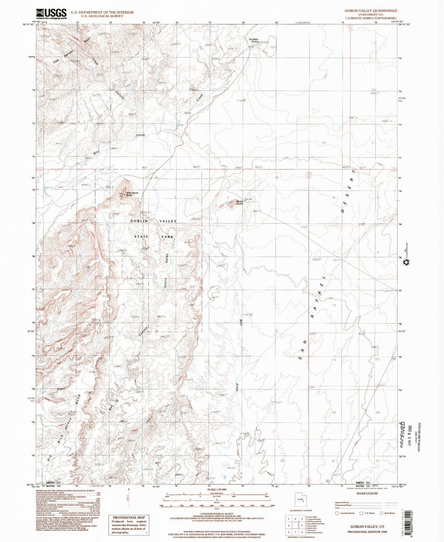
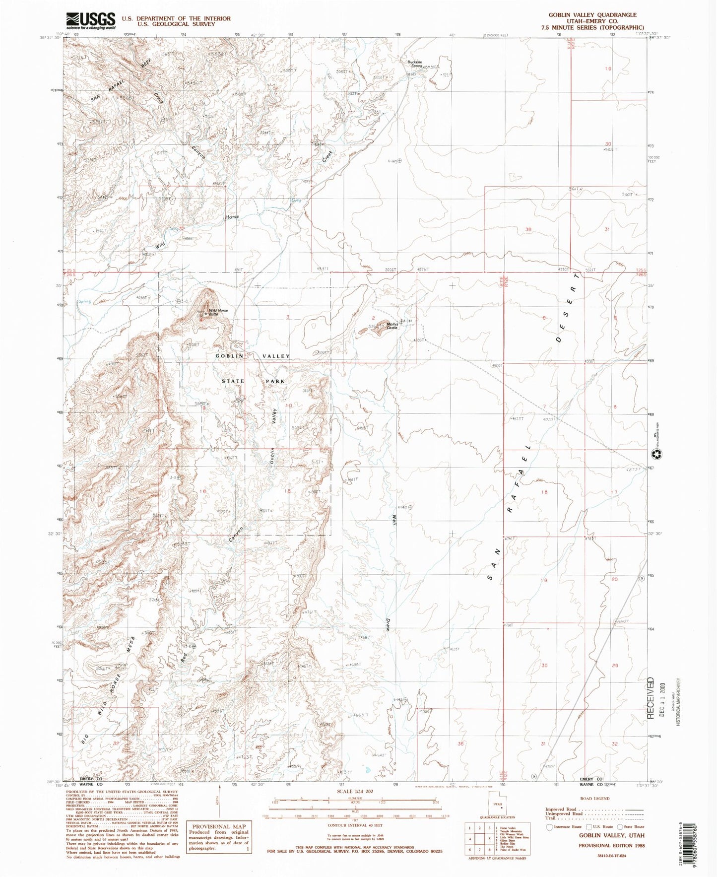
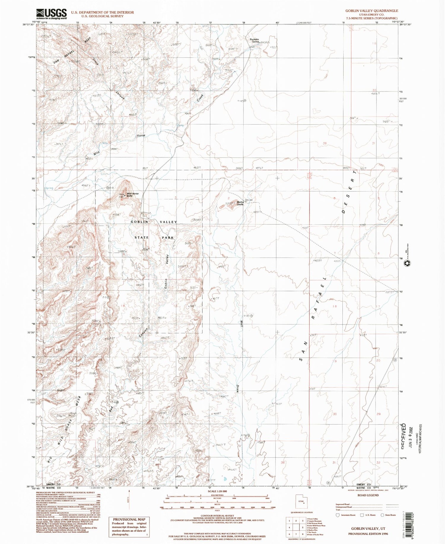
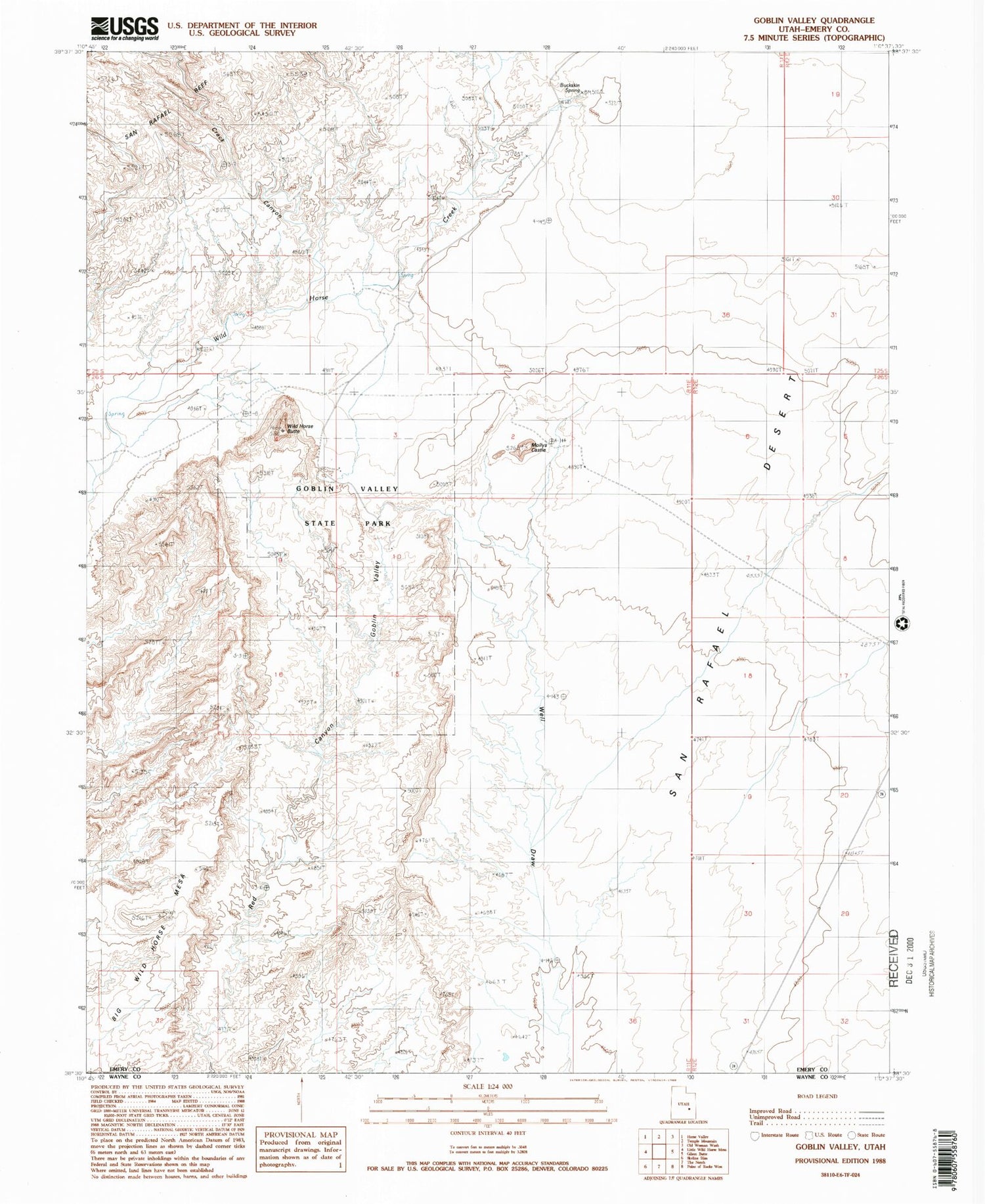
Classic USGS Goblin Valley Utah 7.5'x7.5' Topo Map
Couldn't load pickup availability
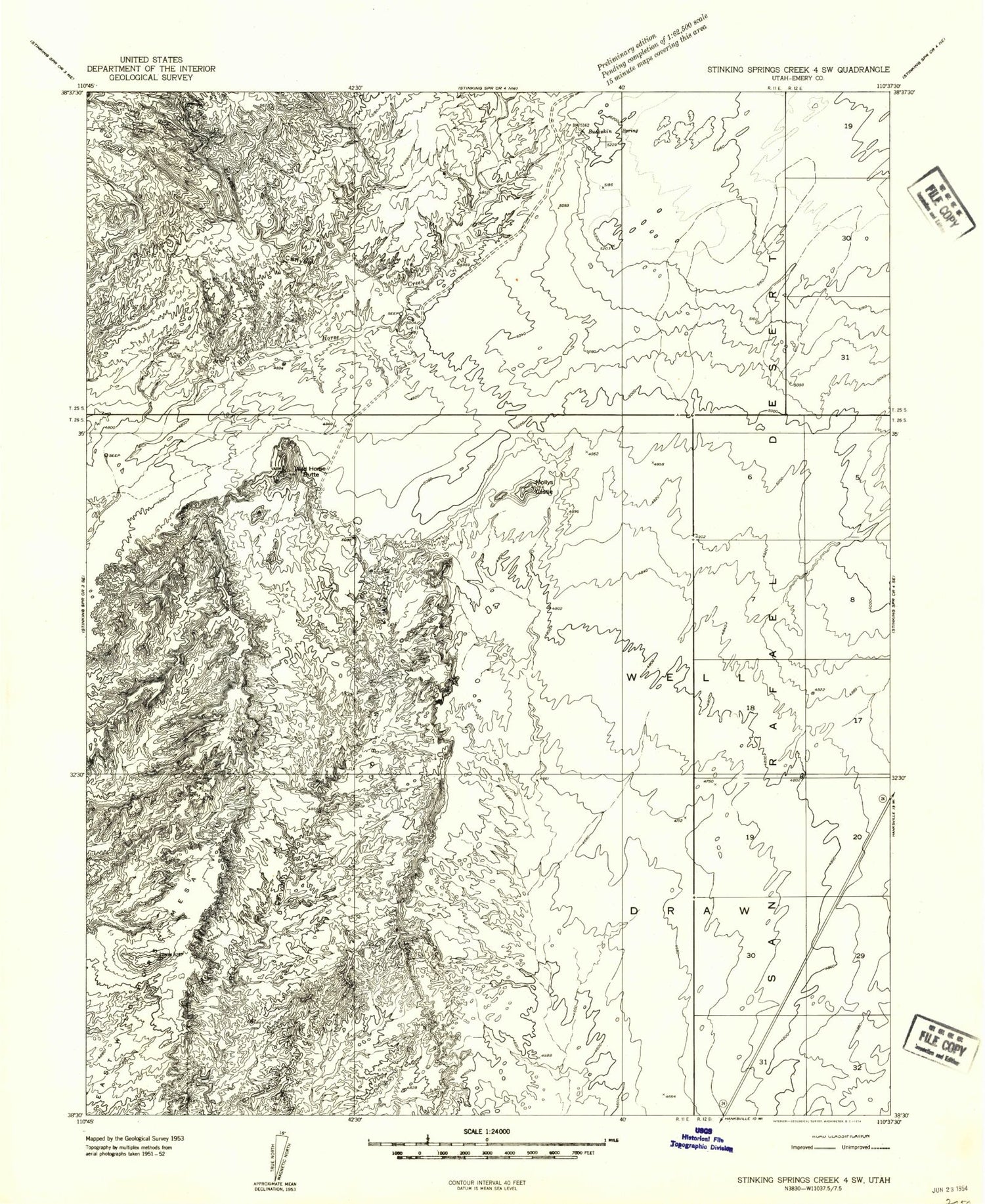
Historical USGS topographic quad map of Goblin Valley in the state of Utah. Typical map scale is 1:24,000, but may vary for certain years, if available. Print size: 24" x 27"
This quadrangle is in the following counties: Emery.
The map contains contour lines, roads, rivers, towns, and lakes. Printed on high-quality waterproof paper with UV fade-resistant inks, and shipped rolled.
Contains the following named places: Buckskin Spring, Chute Canyon, Crack Canyon, Goblin Valley, Mollys Castle, Wild Horse Butte, Goblin Valley State Park, Goblin Valley Campground, Goblin Valley State Park, Buckskin Spring, Chute Canyon, Crack Canyon, Goblin Valley, Mollys Castle, Wild Horse Butte, Goblin Valley State Park, Goblin Valley Campground, Goblin Valley State Park