MyTopo
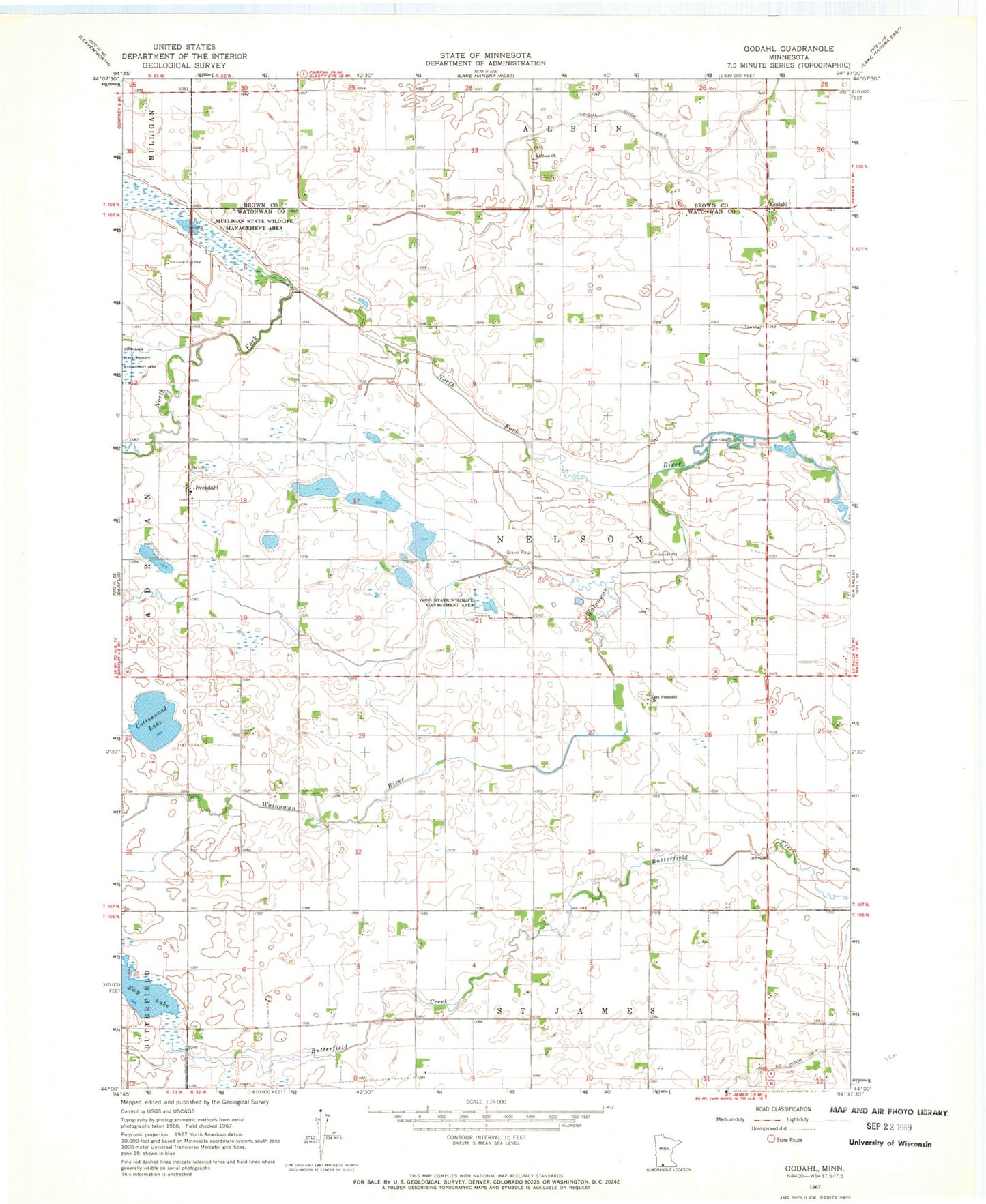
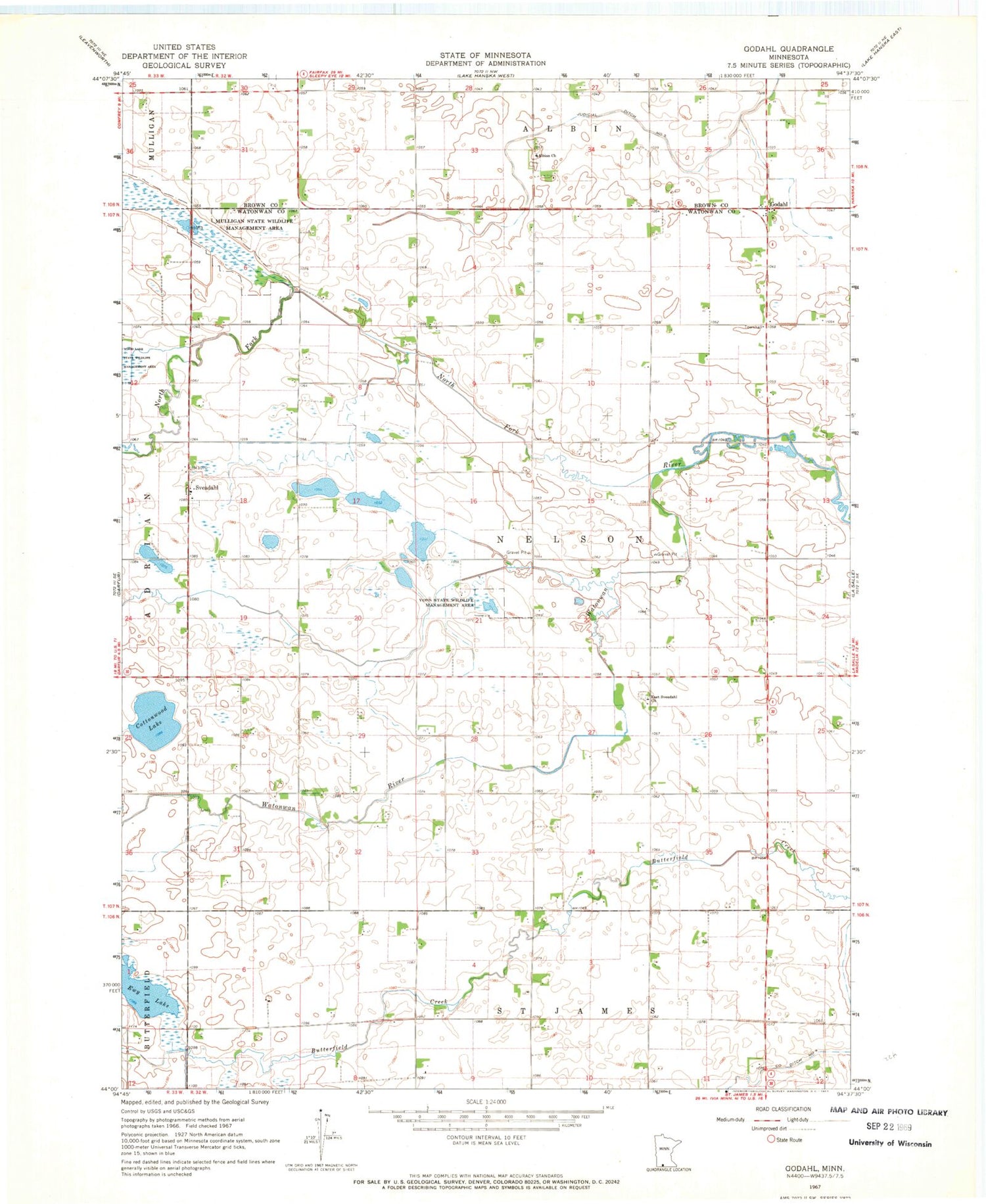
Classic USGS Godahl Minnesota 7.5'x7.5' Topo Map
Couldn't load pickup availability
Historical USGS topographic quad map of Godahl in the state of Minnesota. Map scale may vary for some years, but is generally around 1:24,000. Print size is approximately 24" x 27"
This quadrangle is in the following counties: Brown, Watonwan.
The map contains contour lines, roads, rivers, towns, and lakes. Printed on high-quality waterproof paper with UV fade-resistant inks, and shipped rolled.
Contains the following named places: Albion Church, Cottonwood Lake, County Ditch Number Four, East Sveadahl Cemetery, East Sveadahl Church, Ewy Lake, Godahl, Judicial Ditch Number Five, KXAX-FM (Saint James), Mulligan State Wildlife Management Area, North Fork Watonwan River, Sveadahl, Sveadahl Lutheran Church, Sveadahl Post Office, Township of Nelson, Voss State Wildlife Management Area, West Sveadahl Cemetery