
MyTopo
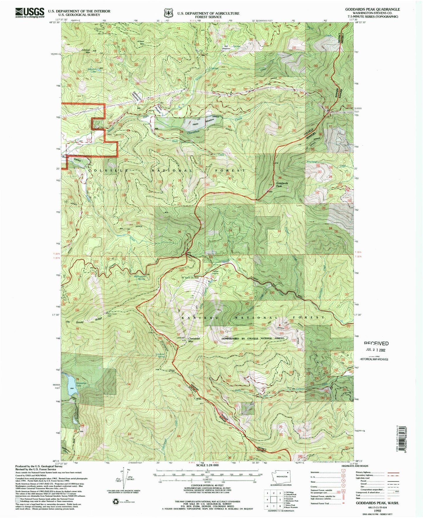
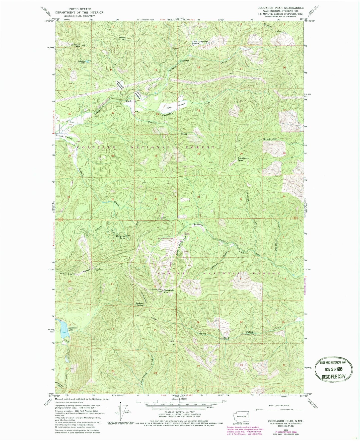
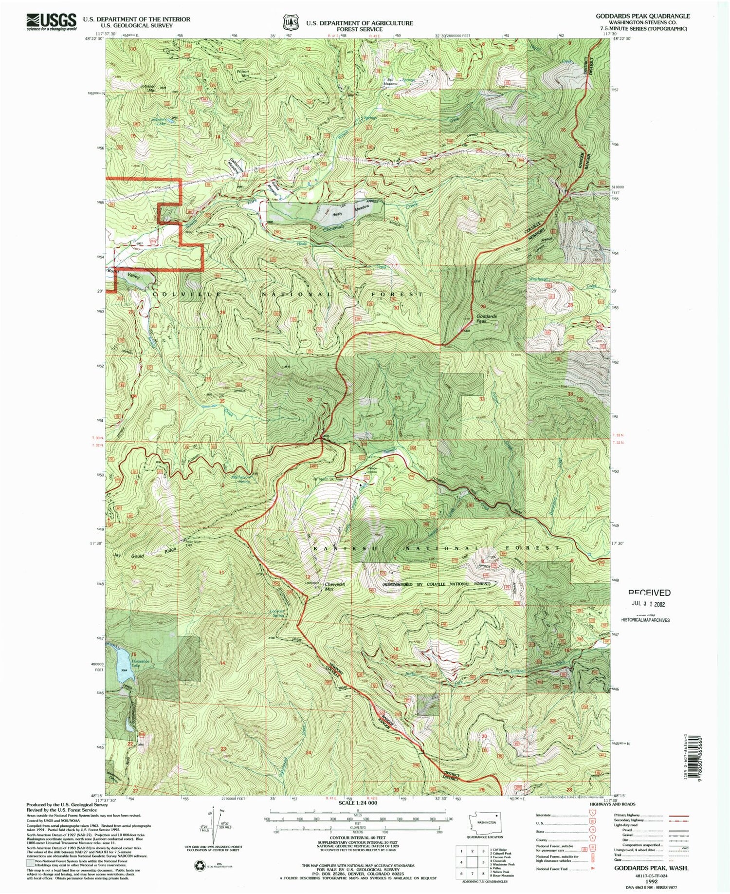
Classic USGS Goddards Peak Washington 7.5'x7.5' Topo Map
Couldn't load pickup availability
Historical USGS topographic quad map of Goddards Peak in the state of Washington. Map scale may vary for some years, but is generally around 1:24,000. Print size is approximately 24" x 27"
This quadrangle is in the following counties: Pend Oreille, Stevens.
The map contains contour lines, roads, rivers, towns, and lakes. Printed on high-quality waterproof paper with UV fade-resistant inks, and shipped rolled.
Contains the following named places: Bell Meadow, Bisbee Meadow, Chewelah Mountain, Dahlstrom Meadow, Donaldson Creek, Forty Nine Degrees North Ski Area, Goddards Peak, Healey Creek, Healey Meadow, Horseshoe Lake, Jay Gould Ridge, Johnson Lake, Johnson Mountain, Little Calispell Creek, Lookout Spring, McPherson Spring, Nelson Creek, Palmer Creek, Wilson Creek, Wilson Mountain