MyTopo
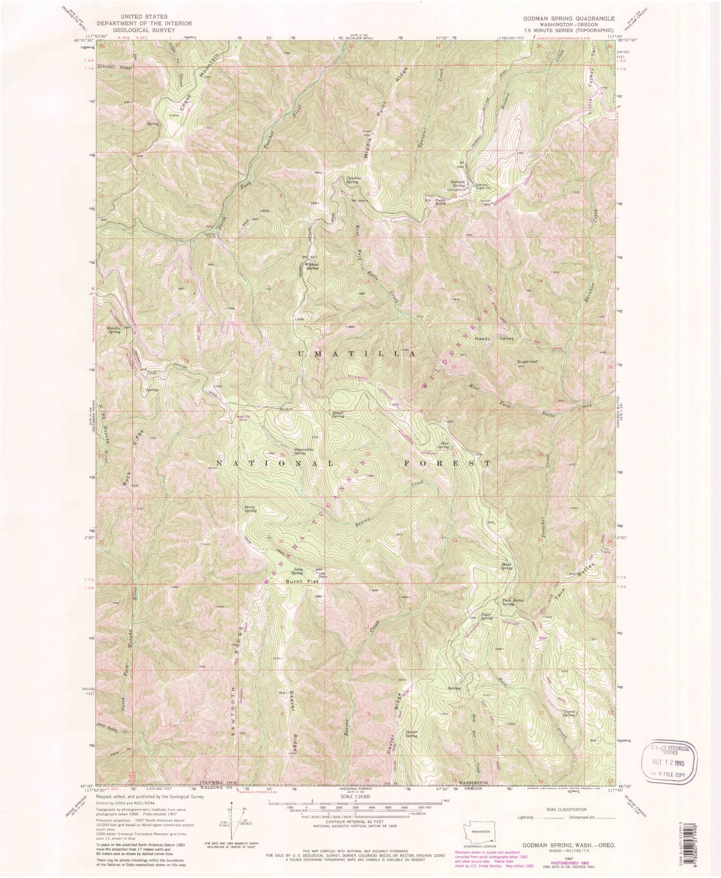
Classic USGS Godman Spring Washington 7.5'x7.5' Topo Map
Couldn't load pickup availability
Historical USGS topographic quad map of Godman Spring in the state of Washington. Typical map scale is 1:24,000, but may vary for certain years, if available. Print size: 24" x 27"
This quadrangle is in the following counties: Columbia, Wallowa.
The map contains contour lines, roads, rivers, towns, and lakes. Printed on high-quality waterproof paper with UV fade-resistant inks, and shipped rolled.
Contains the following named places: Beaver Ridge, Berry Spring, Buck Ridge, Burnt Flat, Cavalier Spring, Coyote Spring, Deep Saddle Creek, Deer Spring, Dexter Ridge, Dexter Spring, Elwell Spring, Happy Valley, Lady Camp, Lady Spring, Manilla Spring, Mead Spring, Middle Point Ridge, Preacher Creek, Rainbow Creek, Sawtooth Ridge, Stayawhile Spring, Twin Buttes, Twin Buttes Spring, Wildcat Spring, Zuger Spring, Grizzly Bear Trail, West Butte Creek Trail, Burnt Flat Corral, Sawtooth Trail, Dexter Ridge Trail, Slick Ear Trail, Godman Guard Station, Chase Mountain, Fuzzy Butte, Sugarloaf, Godman Spring, Little Turkey Tail, Godman Campground, Touchet Sno-Park, Bluewood Ski Area, Rainbow Creek Research Natural Area, Little Turkey Recreation Residence