MyTopo
Classic USGS Gogebic Michigan 7.5'x7.5' Topo Map
Couldn't load pickup availability
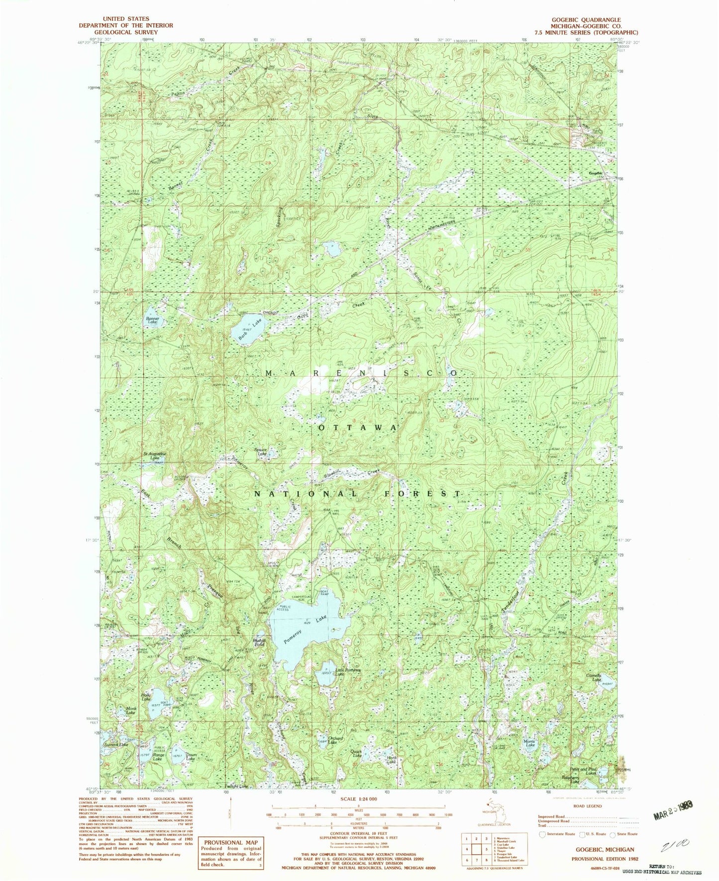
Historical USGS topographic quad map of Gogebic in the state of Michigan. Map scale may vary for some years, but is generally around 1:24,000. Print size is approximately 24" x 27"
This quadrangle is in the following counties: Gogebic.
The map contains contour lines, roads, rivers, towns, and lakes. Printed on high-quality waterproof paper with UV fade-resistant inks, and shipped rolled.
Contains the following named places: Banner Creek, Banner Lake, Barb Lake, Bluebill Creek, Bluegill Pond, Cornelia Lake, Dawn Lake, Down Lake, Gogebic, Gogebic Post Office, Gogebic Station, Gypo Creek, Holly Creek, Holly Lake, Honk Lake, Little Pomeroy Lake, Monk Lake, Morris Lake, Orchard Creek, Orchard Lake, Peter and Paul Lakes, Pomeroy Creek, Pomeroy Lake, Pomeroy Lake Campground, Quack Lake, Range Lake, Raspberry Lake, Saint Augustine Lake, Santa Fe Creek, Snowshoe Lake, Sparkling Creek, Spruce Lake, State River Park