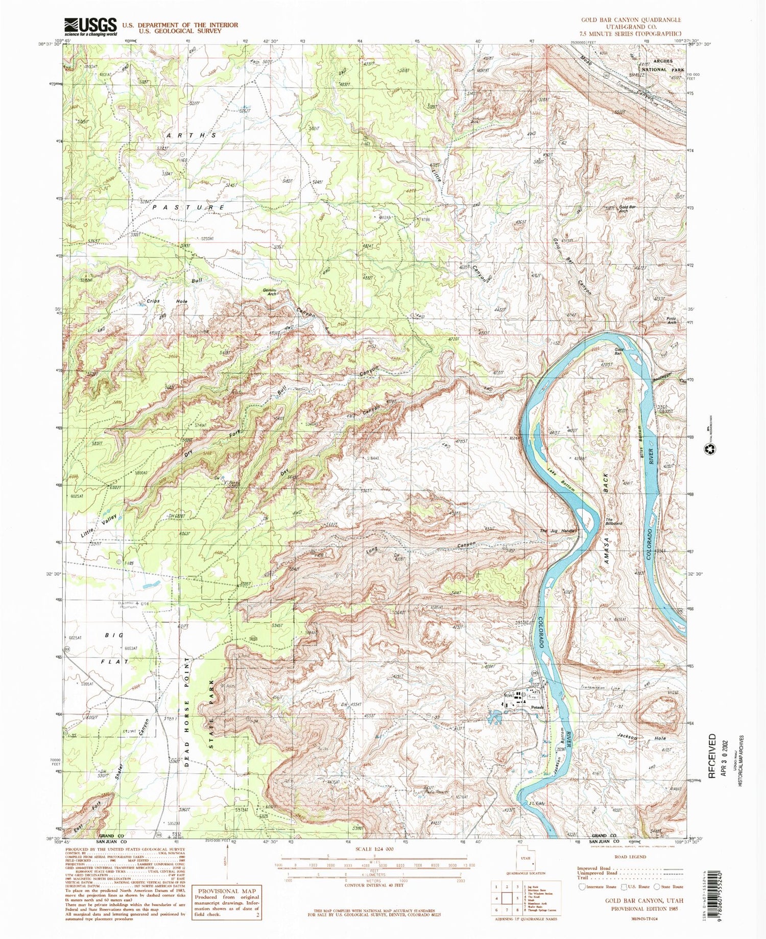

MyTopo
Classic USGS Gold Bar Canyon Utah 7.5'x7.5' Topo Map
Couldn't load pickup availability
Historical USGS topographic quad map of Gold Bar Canyon in the state of Utah. Map scale may vary for some years, but is generally around 1:24,000. Print size is approximately 24" x 27"
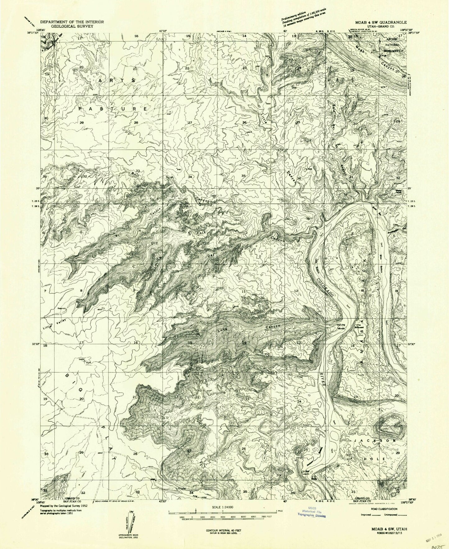
This quadrangle is in the following counties: Grand.
The map contains contour lines, roads, rivers, towns, and lakes. Printed on high-quality waterproof paper with UV fade-resistant inks, and shipped rolled.
Contains the following named places: Amasa Back, Arths Pasture, Bliss Bottom, Bootlegger Canyon, Bull Canyon, Day Canyon, Dead Horse Point State Park, Dry Fork, Dry Fork Bull Canyon, Gemini Bridges, Gold Bar, Gold Bar Arch, Gold Bar Canyon, J L Eddy, Jackson Bottom, Jackson Hole, Lake Bottom, Little Canyon, Little Valley, Long Canyon, Ottingers Triple Arch, Pinto Arch, Potash, The Billboard, The Jug Handle