MyTopo
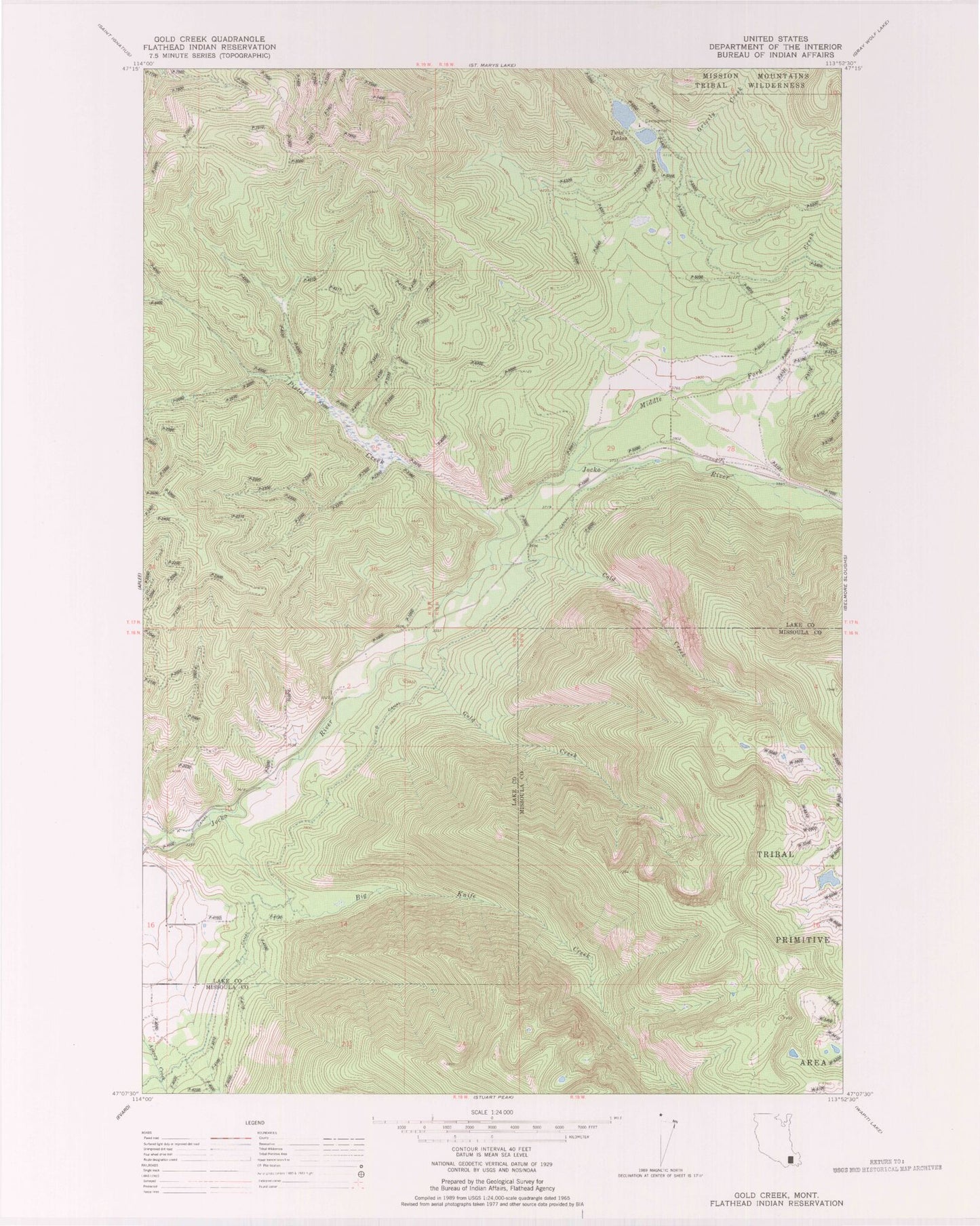
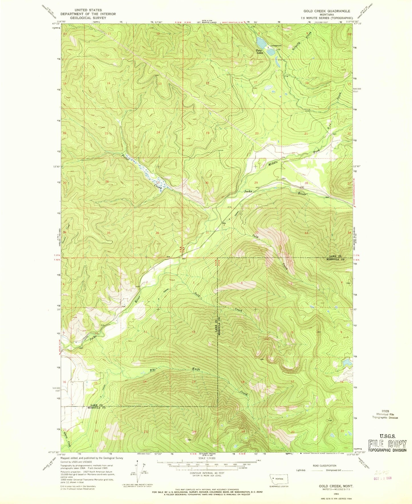
Classic USGS Gold Creek Montana 7.5'x7.5' Topo Map
Regular price
$16.95
Regular price
Sale price
$16.95
Unit price
per
Couldn't load pickup availability
Historical USGS topographic quad map of Gold Creek in the state of Montana. Map scale may vary for some years, but is generally around 1:24,000. Print size is approximately 24" x 27"
This quadrangle is in the following counties: Lake, Missoula.
The map contains contour lines, roads, rivers, towns, and lakes. Printed on high-quality waterproof paper with UV fade-resistant inks, and shipped rolled.
Contains the following named places: 17N18W29CAAC01 Well, Big Knife Creek, Cold Creek, Flathead Reservation Division, Gold Creek, Grizzly Creek, North Fork Jocko River, Pistol Creek, S Canal, S-Fourteen Creek, Twin Lakes