MyTopo
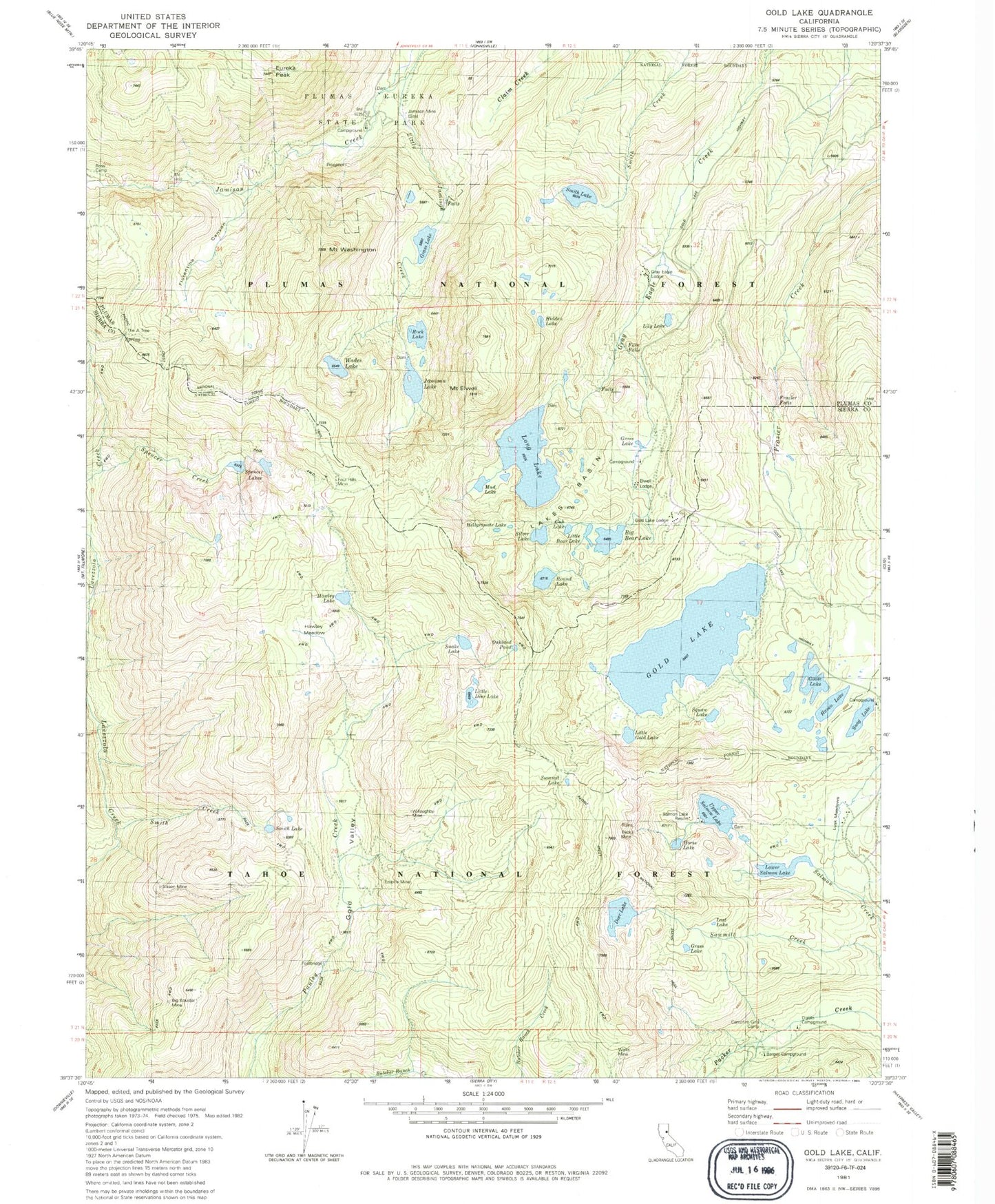
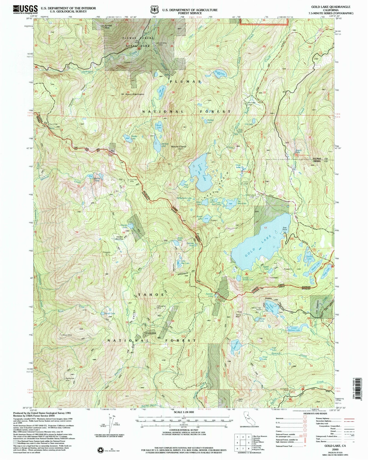
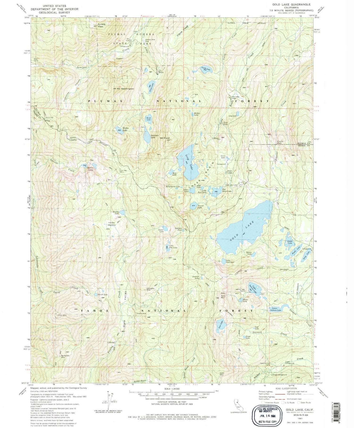
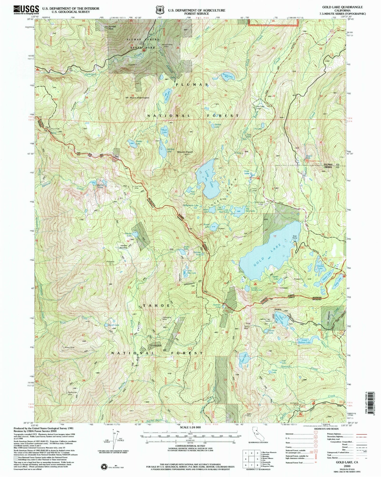
USGS Classic Gold Lake California 7.5'x7.5' Topo Map
Couldn't load pickup availability
Historical USGS topographic quad map of Gold Lake in the state of California. Scale: 1:24000. Print size: 24" x 27"
This quadrangle is in the following counties: Plumas, Sierra.
The map contains contour lines, roads, rivers, towns, lakes, and grids including latitude / longitude and UTM / MGRS. Printed on high-quality waterproof paper with UV fade-resistant inks.
Contains the following named places: Big Bear Lake, Big Boulder Mine, Church Creek, Cub Lake, Deer Lake, Diablo Campground, Elwell Lodge, Mount Elwell, Empire Mine, Eureka Ridge, Florentine Canyon, Four Hills Mine, Frazier Falls, Gold Lake, Gold Lake Lodge, Goose Lake, Grass Lake, Grass Lake, Grass Lake, Gray Eagle Lodge, Haven Lake, Hawley Lake, Hawley Meadow, Hellgrammite Lake, Horse Lake, Jamison Lake, Jamison Mine, Lake Center Lodge, Lakes Basin, Lakes Basin Campground, Lakes Basin Guard Station, Lily Lake, Little Bear Lake, Little Deer Lake, Little Gold Lake, Little Jamison Creek, Long Lake, Lost Lake, Lower Salmon Lake, Lusk Meadows, Mud Lake, Oakland Pond, Peck Mine, Rock Lake, Round Lake, Salmon Resort, Sawmill Creek, Silver Lake, Sisson Mine, Smith Creek, Smith Lake, Smith Lake, Snag Lake, Snag Lake Campground, Snake Lake, Spencer Creek, Spencer Lakes, Squaw Lake, Summit Lake, The A-Tree, Upper Salmon Lake, Wades Lake, Wallis Mine, Willoughby Mine, Upper Salmon Lake Trail, Frazier Falls Scenic Viewpoint, Frazier Falls Picnic Area, Lake Center Lodge, Upper Jamison Recreation Site, Deer Lake Trail, Eureka Peak, Mount Washington, Long Lake 289 Dam, Deer Lake Dam, Lower Salmon Lake Dam, Upper Salmon Lake Dam, Snag Lake Dam, San Francisco Campfire Girls Camp, Fern Falls, Hidden Lake, Ross Campground, Berger Campground, Gray Eagle Valley, Little Jamison (historical), Upper Jamison Campground, Lake Basin Recreation Area


