MyTopo
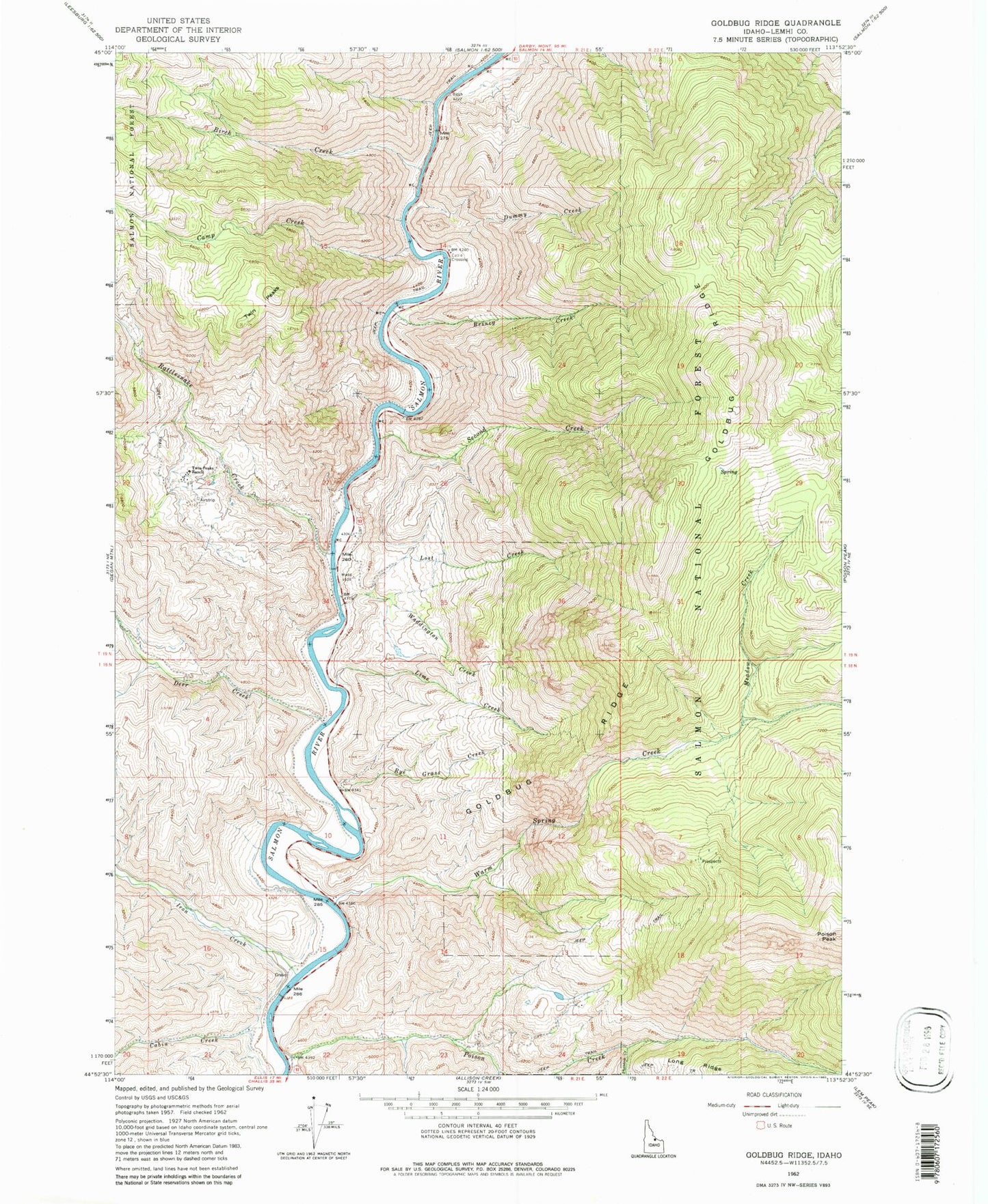
Classic USGS Goldbug Ridge Idaho 7.5'x7.5' Topo Map
Couldn't load pickup availability
Historical USGS topographic quad map of Goldbug Ridge in the state of Idaho. Map scale may vary for some years, but is generally around 1:24,000. Print size is approximately 24" x 27"
This quadrangle is in the following counties: Lemhi.
The map contains contour lines, roads, rivers, towns, and lakes. Printed on high-quality waterproof paper with UV fade-resistant inks, and shipped rolled.
Contains the following named places: Birch Creek, Briney Creek, Buck Lake, Cabin Creek, Camp Creek, Camp Creek Access Area, Deer Creek, Dummy Creek, Elk Bend, Elk Bend Fire Protection District Station 1, Elk Bend Fire Protection District Station 2, Goldbug Ridge, Iron Creek, Iron Creek Cemetery, Lemhi County, Lime Creek, Lime Creek Access Area, Lost Creek, Meadow Creek, Phantom Creek, Poison Creek, Rattlesnake Creek, Rye Grass Creek, Second Creek, South Fork Poison Creek, Twin Peaks, Twin Peaks Ranch, Waddington Creek, Warm Spring Creek, ZIP Code: 83467