MyTopo
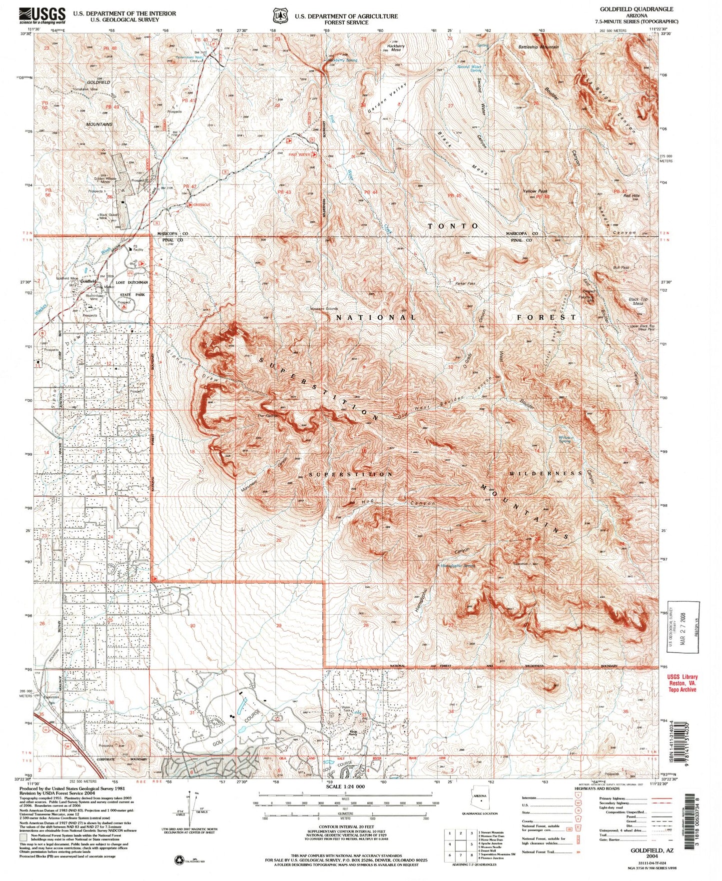
USGS Classic Goldfield Arizona 7.5'x7.5' Topo Map
Couldn't load pickup availability
Historical USGS topographic quad map of Goldfield in the state of Arizona. Scale: 1:24000. Print size: 24" x 27"
This quadrangle is in the following counties: Maricopa, Pinal.
The map contains contour lines, roads, rivers, towns, lakes, and grids including latitude / longitude and UTM / MGRS. Printed on high-quality waterproof paper with UV fade-resistant inks.
Contains the following named places: B Bar B Ranch, Battleship Mountain, Black Mesa, Black Mesa Trail, Black Queen Mine, Black Top Mesa, Bluebird Mine, Boulder Trail, Bull Pass, Charlebois Trail, East Boulder Canyon, East Boulder Trail, First Water Ranch, Garden Valley, Garden Valley Trail, Golden Hillside Mines, Youngberg, Goldfield Mine Water Tower, Government Well, Hackberry Mesa, Hackberry Spring, Hieroglyphic Canyon, Hieroglyphic Spring, Hog Canyon, Kings Ranch, Little Boulder Canyon, Massacre Grounds, Monument Canyon, Needle Canyon, O'Grady Canyon, Old West Boulder Canyon, Palmer Mine, Palomino Mountain, Parker Pass, Quarter Circle U Trail, Red Hills, Red Hills Trail, Saguaro Slope Ranch, Second Water Canyon, Second Water Spring, Second Water Trail, Superstition Mountains, The Flatiron, Tims Saddle, Tomahawk Mine, Upper Black Top Mesa Pass, West Boulder Canyon, West Boulder Trail, Willow Spring, Yellow Peak, Aylors Caballo Camp, Goldfield Mine, Lost Dutchman State Park, First Water Trailhead, Needle Cutoff Trail, Superstition Peak, Youngberg Post Office (historical), Goldfield Ghost Town, East Valley Christian Academy, Superstition Mountain Club, Canyon Springs Baptist Church


