MyTopo
Classic USGS Goldstrike Utah 7.5'x7.5' Topo Map
Couldn't load pickup availability
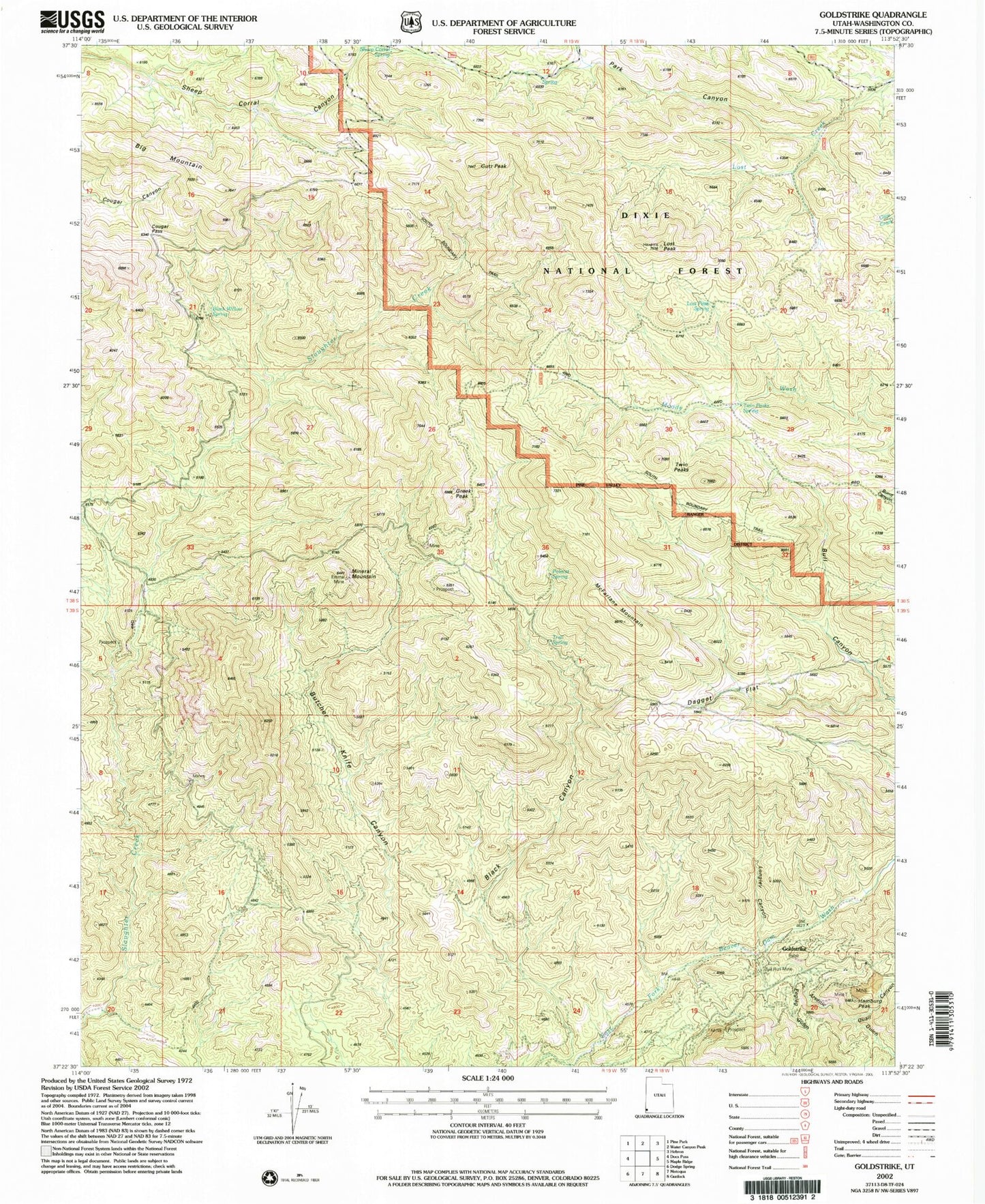
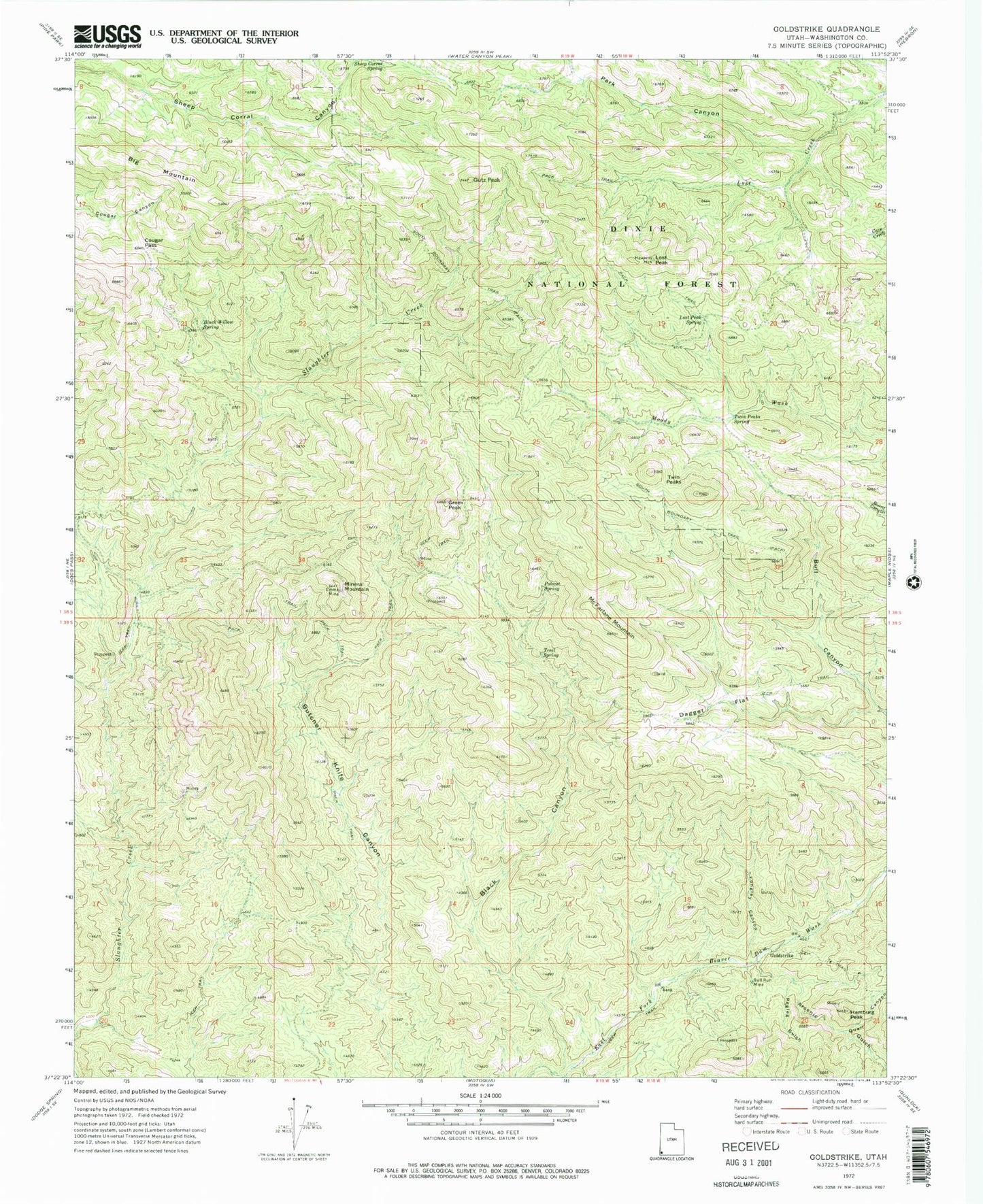
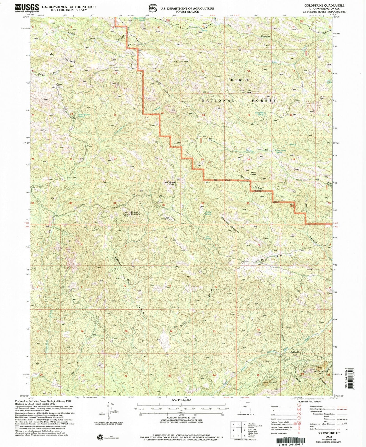
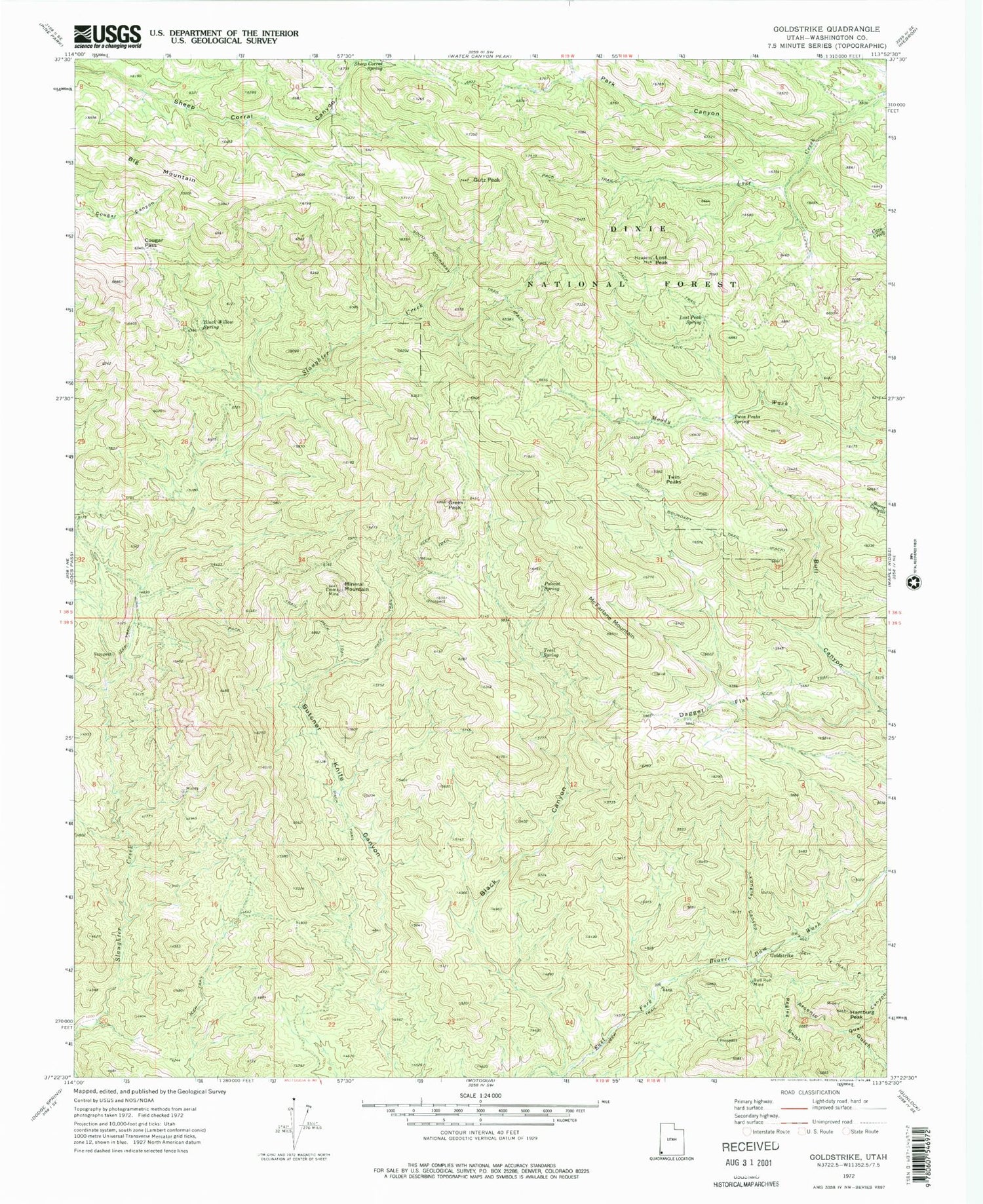
Historical USGS topographic quad map of Goldstrike in the state of Utah. Map scale may vary for some years, but is generally around 1:24,000. Print size is approximately 24" x 27"
This quadrangle is in the following counties: Washington.
The map contains contour lines, roads, rivers, towns, and lakes. Printed on high-quality waterproof paper with UV fade-resistant inks, and shipped rolled.
Contains the following named places: Arsenic Gulch, Aspen Spring, Big Mountain, Black Canyon, Black Willow Spring, Bull Run Mine, Cougar Pass, Dagget Flat, Emma Mine, Goldstrike, Greek Peak, Gutz Peak, Hamburg Peak, Longley Canyon, Lost Peak, Lost Peak Spring, McFarlane Mountain, Mineral Mountain, Park Canyon, Pegleg Gulch, Polecat Spring, Quail Canyon, Slaughter Creek Wilderness, Trail Spring, Twin Peaks, Twin Peaks Spring