MyTopo
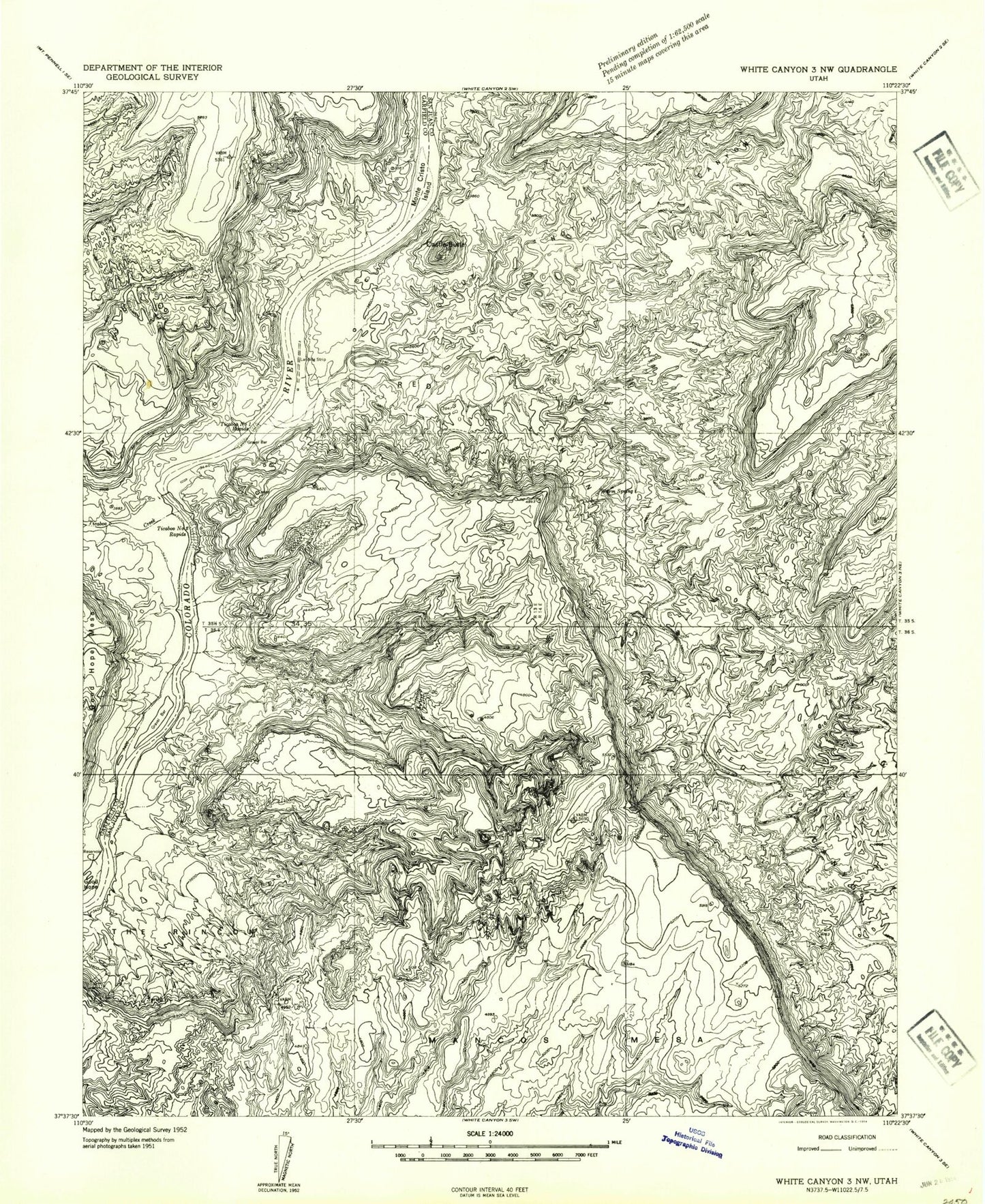
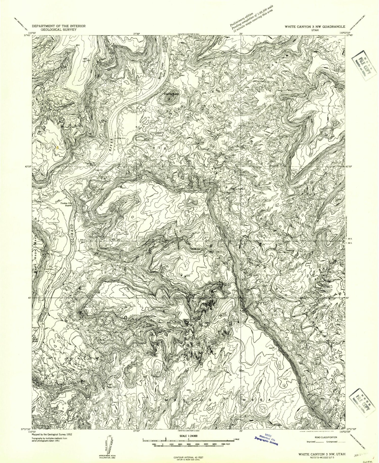
Classic USGS Good Hope Bay Utah 7.5'x7.5' Topo Map
Couldn't load pickup availability
Historical USGS topographic quad map of Good Hope Bay in the state of Utah. Map scale may vary for some years, but is generally around 1:24,000. Print size is approximately 24" x 27"
This quadrangle is in the following counties: Garfield, San Juan.
The map contains contour lines, roads, rivers, towns, and lakes. Printed on high-quality waterproof paper with UV fade-resistant inks, and shipped rolled.
Contains the following named places: Bessie Bar, Blue Canyon, Blue Notch Canyon, Castle Butte, Good Hope Bay, Hidden Valley, Kathys Canyon, Little Rincon, Mahon Canyon, Monte Cristo Island, Popcorn Canyon, Rainbow Canyon, Red Canyon, Sandstone Knolls, The Rincon, Ticaboo Creek, Ticaboo Number 1 Rapids, Ticaboo Number 2 Rapids, Warm Spring, Wilson Canyon