MyTopo
Classic USGS Goodale Coulee Montana 7.5'x7.5' Topo Map
Regular price
$16.95
Regular price
Sale price
$16.95
Unit price
per
Couldn't load pickup availability
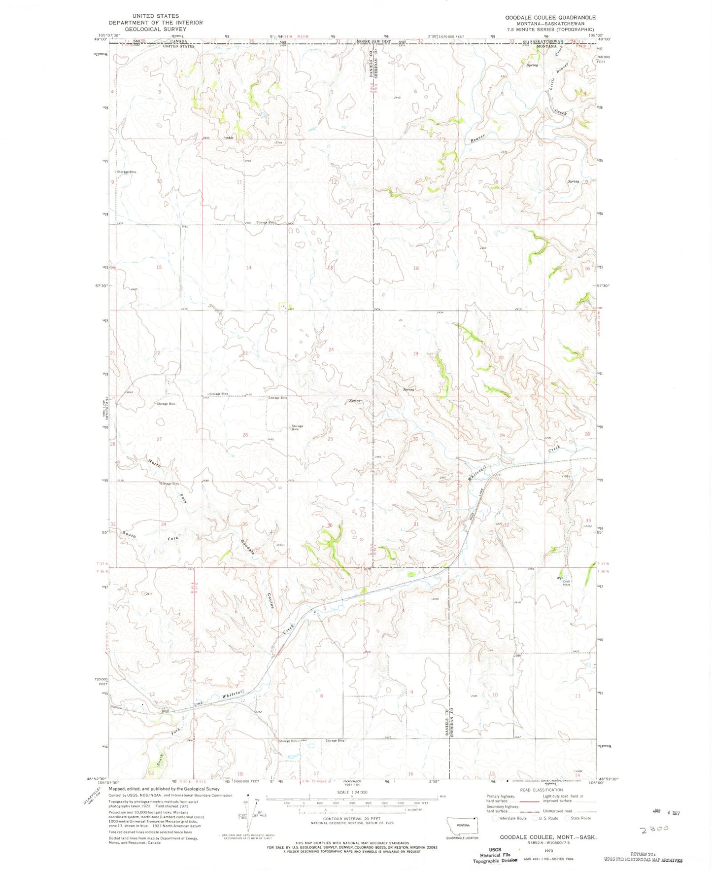
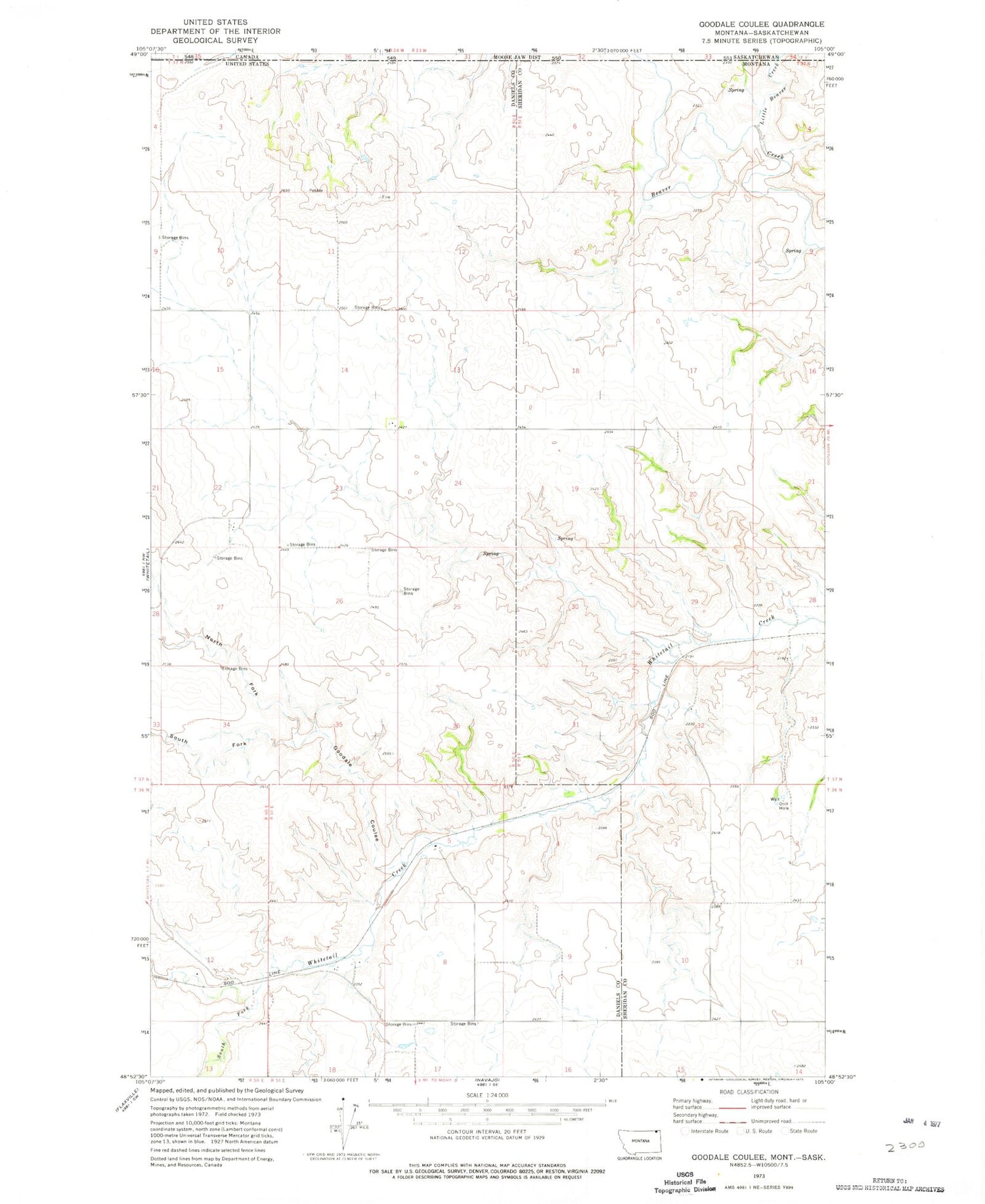
Historical USGS topographic quad map of Goodale Coulee in the state of Montana. Map scale may vary for some years, but is generally around 1:24,000. Print size is approximately 24" x 27"
This quadrangle is in the following counties: Daniels, Sheridan.
The map contains contour lines, roads, rivers, towns, and lakes. Printed on high-quality waterproof paper with UV fade-resistant inks, and shipped rolled.
Contains the following named places: 36N51E05CAAA01 Well, 36N51E09BABB01 Well, 37N50E23BADC01 Well, Goodale Coulee, Little Beaver Creek, North Fork Goodale Coulee, South Fork Goodale Coulee, South Fork Whitetail Creek