MyTopo
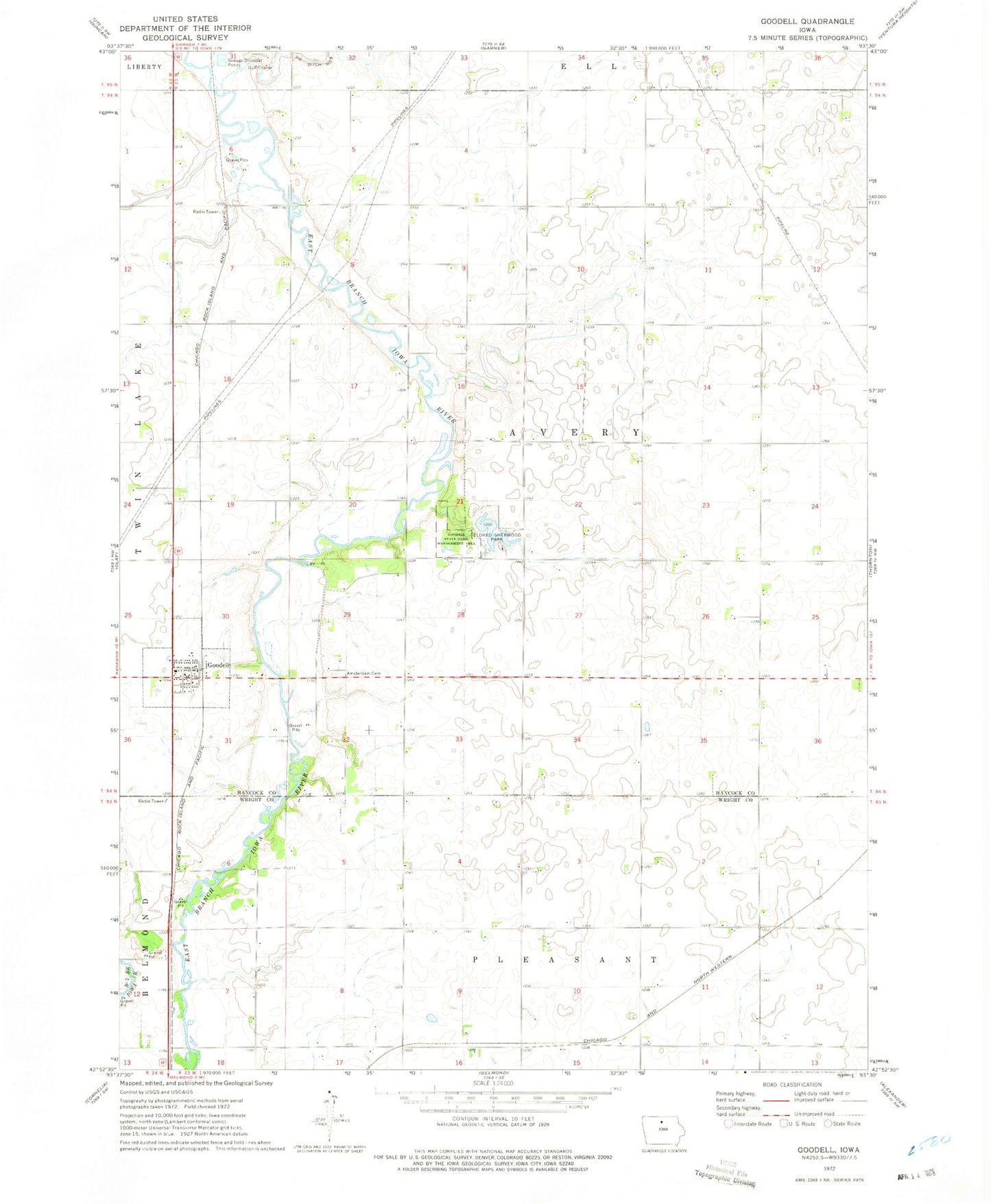
Classic USGS Goodell Iowa 7.5'x7.5' Topo Map
Couldn't load pickup availability
Historical USGS topographic quad map of Goodell in the state of Iowa. Map scale may vary for some years, but is generally around 1:24,000. Print size is approximately 24" x 27"
This quadrangle is in the following counties: Hancock, Wright.
The map contains contour lines, roads, rivers, towns, and lakes. Printed on high-quality waterproof paper with UV fade-resistant inks, and shipped rolled.
Contains the following named places: Amsterdam, Amsterdam Cemetery, City of Goodell, Eldred Sherwood Park Lake, Eldred Sherwood Park Lake Dam, Eldred-Sherwood Recreation Area, Goodell, Goodell Fire Department, Goodell Post Office, Goodell Wildlife Area, Lau Wildlife Area, Palsville, Palsville Post Office, Sullivan Wildlife Area, Township of Avery, United Methodist Church