MyTopo
Classic USGS Goodhope Missouri 7.5'x7.5' Topo Map
Couldn't load pickup availability
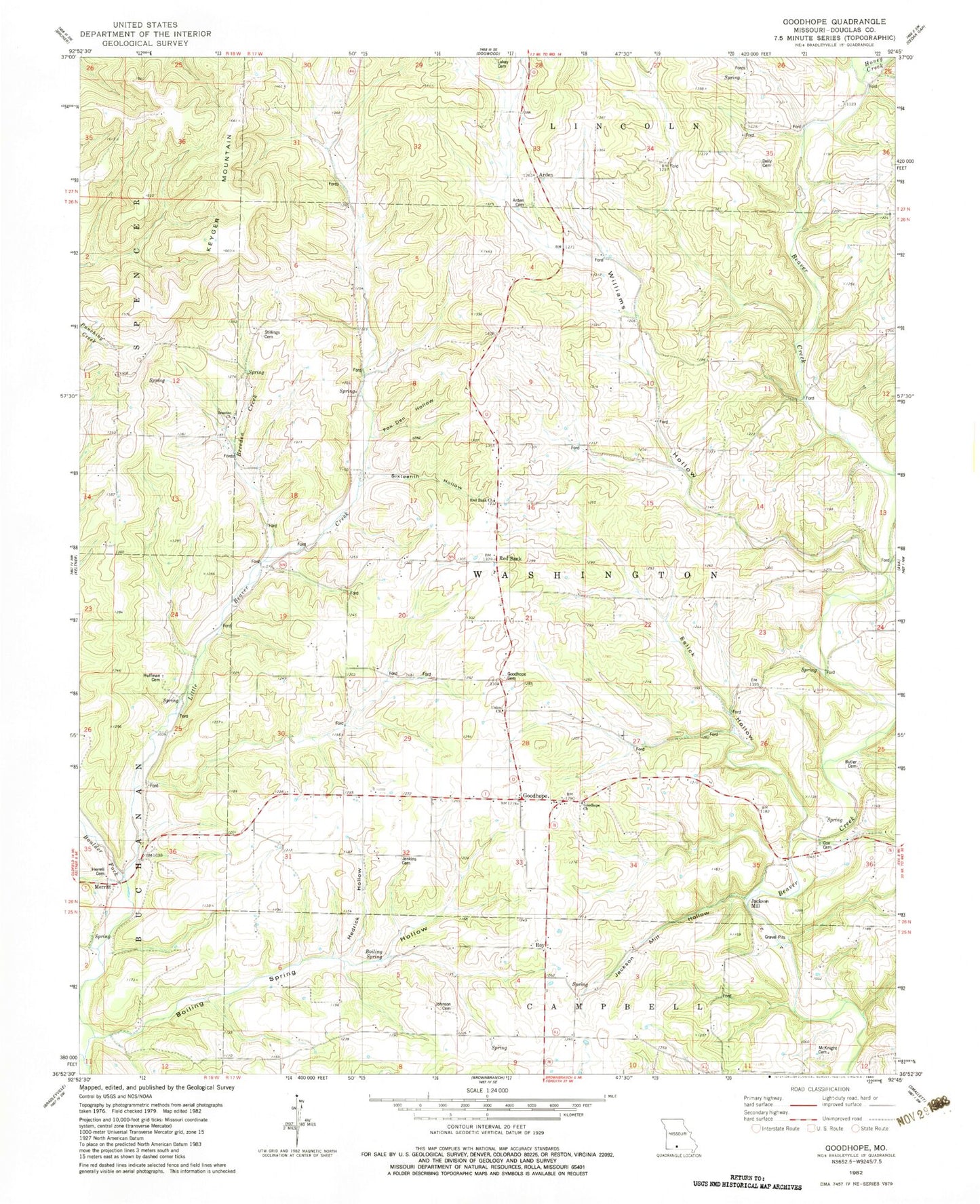
Historical USGS topographic quad map of Goodhope in the state of Missouri. Map scale may vary for some years, but is generally around 1:24,000. Print size is approximately 24" x 27"
This quadrangle is in the following counties: Douglas.
The map contains contour lines, roads, rivers, towns, and lakes. Printed on high-quality waterproof paper with UV fade-resistant inks, and shipped rolled.
Contains the following named places: Arden, Arden Cemetery, Arden School, Boiling Spring Hollow, Boiling Spring School, Boulder Fork, Breeden Church, Breeden Creek, Breeden School, Butler Cemetery, Capp Cemetery, Cox Cemetery, Daily Cemetery, Eslick Hollow, Flatrock School, Fox Den Hollow, Freeport School, Goodhope, Goodhope Cemetery, Goodhope Church, Goodhope Fire Department, Goodhope School, Hedrick Hollow, Herrell Cemetery, Honey Creek, Huffman Cemetery, Jackson Mill, Jackson Mill Hollow, Jacksons Mill, Jenkins Cemetery, Johnson Cemetery, Keyger Mountain, Lakey Cemetery, Liberty School, McKnight Cemetery, Merritt, Pleasant Green School, Red Bank, Red Bank Church, Roy, Sixteenth Hollow, Stillings Cemetery, Township of Washington, Union Church, Whiteoak School, Williams Hollow


