MyTopo
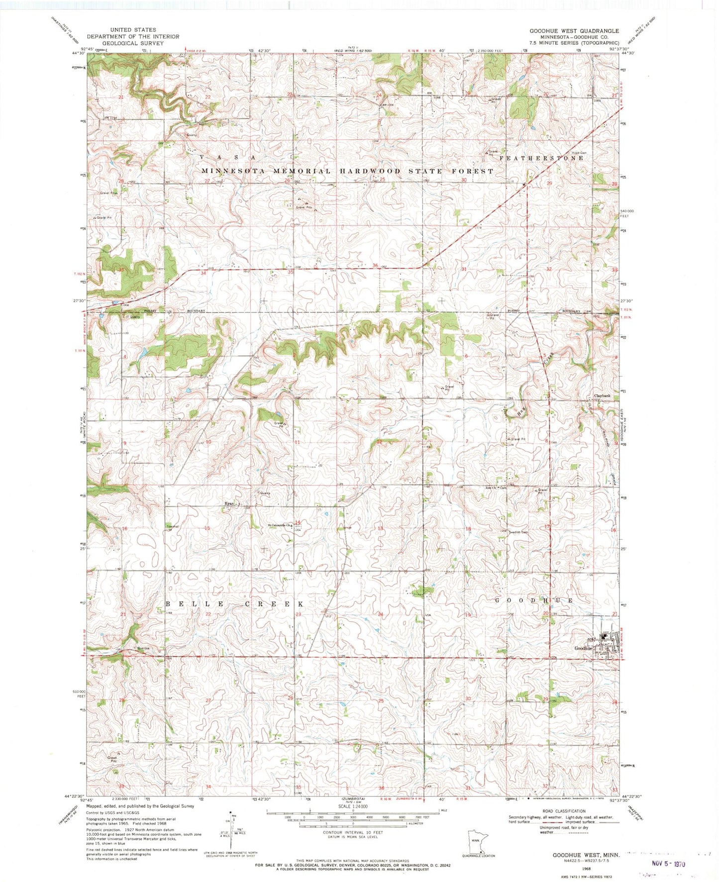
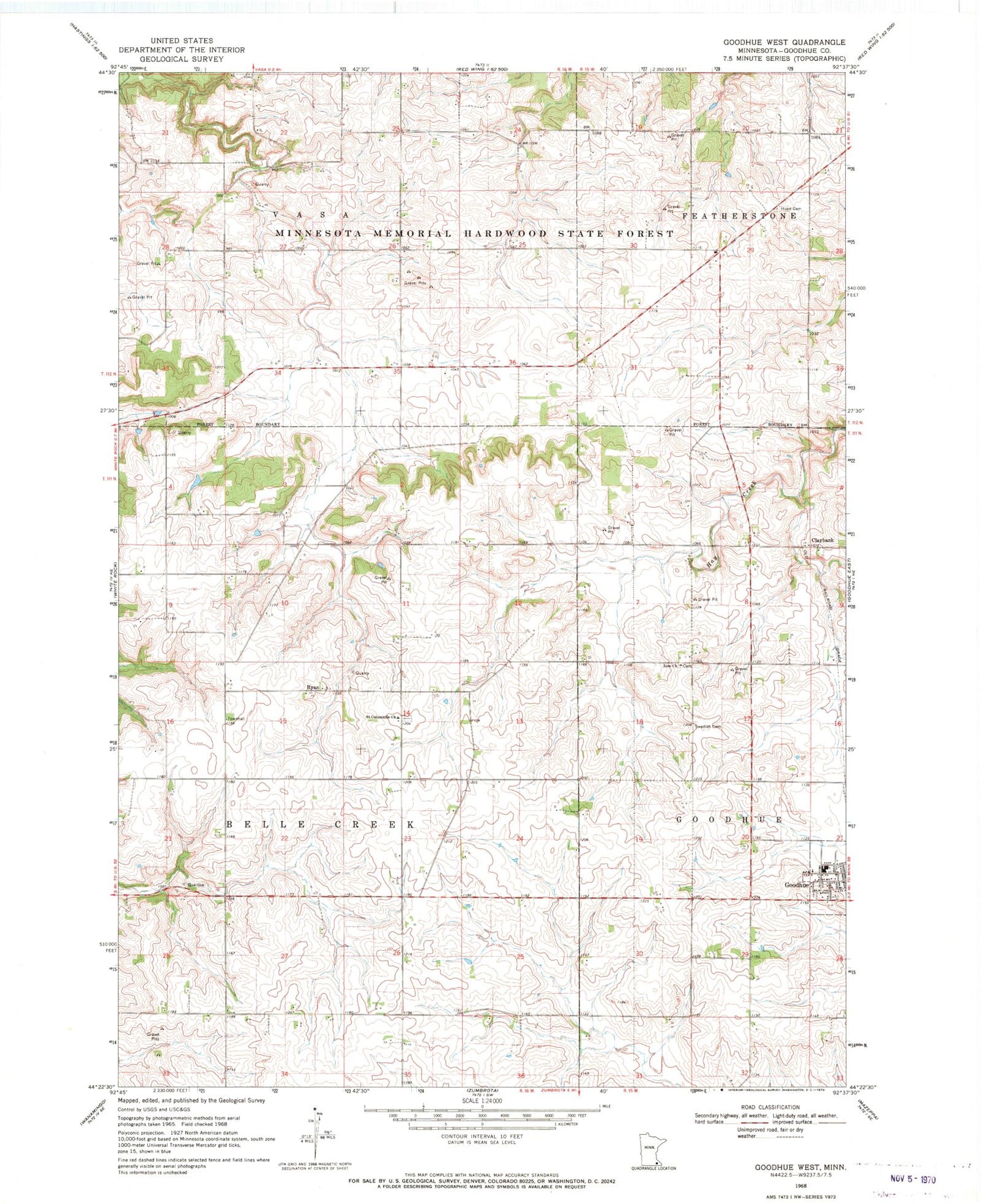
Classic USGS Goodhue West Minnesota 7.5'x7.5' Topo Map
Couldn't load pickup availability
Historical USGS topographic quad map of Goodhue West in the state of Minnesota. Map scale may vary for some years, but is generally around 1:24,000. Print size is approximately 24" x 27"
This quadrangle is in the following counties: Goodhue.
The map contains contour lines, roads, rivers, towns, and lakes. Printed on high-quality waterproof paper with UV fade-resistant inks, and shipped rolled.
Contains the following named places: Cecil Franklin Dam, City of Goodhue, Claybank, Claybank Post Office, Evergreen Cemetery, Goodhue County, Goodhue Public Schools, Holy Trinity Catholic Church, Hope Cemetery, Ryan, Ryan Post Office, Saint Columbkill's Catholic Church Cemetery, Saint Columkills Church, Saint Luke's Lutheran Church, Saint Peter's Lutheran Church, Sodbuster Strip, Swedish Cemetery, Township of Belle Creek, Zion Cemetery, Zion Church