MyTopo
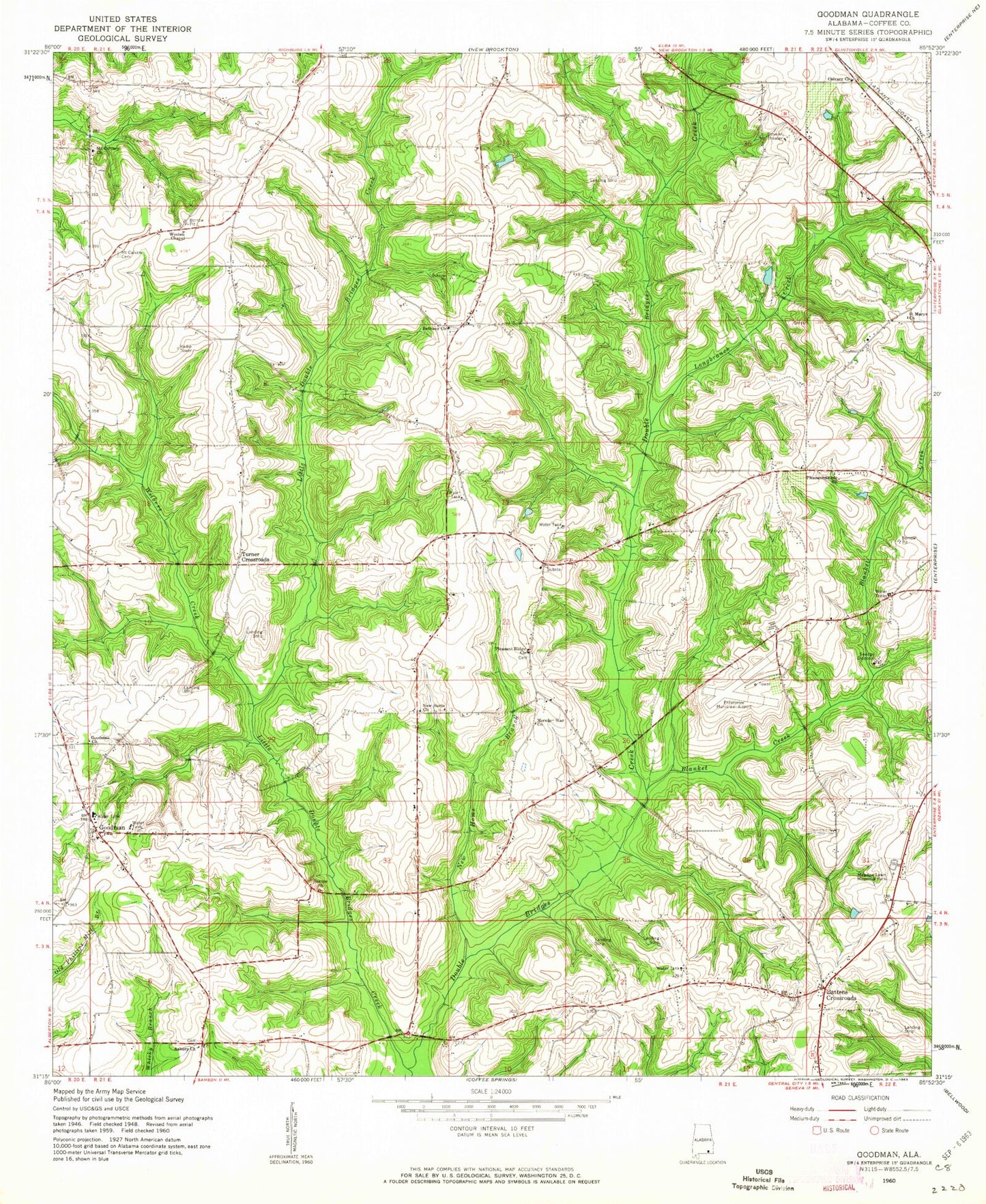
Classic USGS Goodman Alabama 7.5'x7.5' Topo Map
Couldn't load pickup availability
Historical USGS topographic quad map of Goodman in the state of Alabama. Map scale may vary for some years, but is generally around 1:24,000. Print size is approximately 24" x 27"
This quadrangle is in the following counties: Coffee.
The map contains contour lines, roads, rivers, towns, and lakes. Printed on high-quality waterproof paper with UV fade-resistant inks, and shipped rolled.
Contains the following named places: Asbury Cemetery, Asbury Methodist Church, Battens Church, Battens Crossroads, Battens Volunteer Fire Department, Bear Branch, Bethany Baptist Church, Bethany Cemetery, Blanket Creek, Boggy Branch, Byrds Mill, Calvary Baptist Church, Calvary Cemetery, Enterprise Municipal Airport, Fairfield Estates, Goodman, Goodman Cemetery, Goodman Church, Goodman Junior High School, Goodman Missionary Baptist Church, Goodman Volunteer Fire Department, Harp School, John Moates Lake Dam, Kelly Branch, Kelly Cemetery, Little Double Bridges Creek, Long Branch, Longbranch Creek, Love's Way Church, Martin Spring Branch, Meadow Lawn Memorial Park, Moates Lake, Monroe Mynard Pond, Monroe Mynard Pond Dam, Mornin Star Church, Morning Star Cemetery, Mount Calvary Cemetery, Mount Calvary Missionary Baptist Church, New Canaan Church, New Home Baptist Church, New Home Branch, New Home Cemetery, New Home Church, Peacock Mill Branch, Pine Forest, Pleasant Ridge Cemetery, Pleasant Ridge Methodist Church, Pleasant Shade Baptist Church, Roberts Branch, Rocky Branch, Saint Mary Baptist Church, Spring Branch, Stenson School, Turner Crossroads, Union Academy, Union School, Watson School, Wilbers Creek, Wooten Chapel


