MyTopo
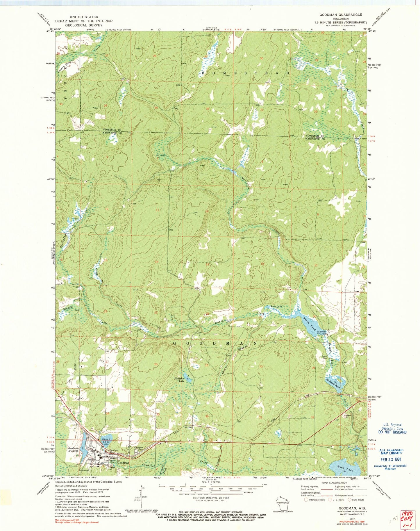
Classic USGS Goodman Wisconsin 7.5'x7.5' Topo Map
Couldn't load pickup availability
Historical USGS topographic quad map of Goodman in the state of Wisconsin. Map scale may vary for some years, but is generally around 1:24,000. Print size is approximately 24" x 27"
This quadrangle is in the following counties: Florence, Marinette.
The map contains contour lines, roads, rivers, towns, and lakes. Printed on high-quality waterproof paper with UV fade-resistant inks, and shipped rolled.
Contains the following named places: Camp D Creek, Clark Lake, Dunbar Barrens State Natural Area, Fishers Creek, Glenwood Cemetery, Goodman, Goodman - Armstrong Elementary School, Goodman - Armstrong High School, Goodman - Armstrong Rescue Squad, Goodman Dam, Goodman Millpond, Goodman Post Office, Goodman Volunteer Fire Department, Hatchery Dam, Hobachee Lake, Kirton Dam, Lost Lake, Macintire Creek, Middle Dam, Moon Lake, North Pond, North Pond 20, Railroad Pond, Scott Dam, Scott Pond 30, Shinns Branch, Sidney Creek, Springdale Branch, Town of Goodman