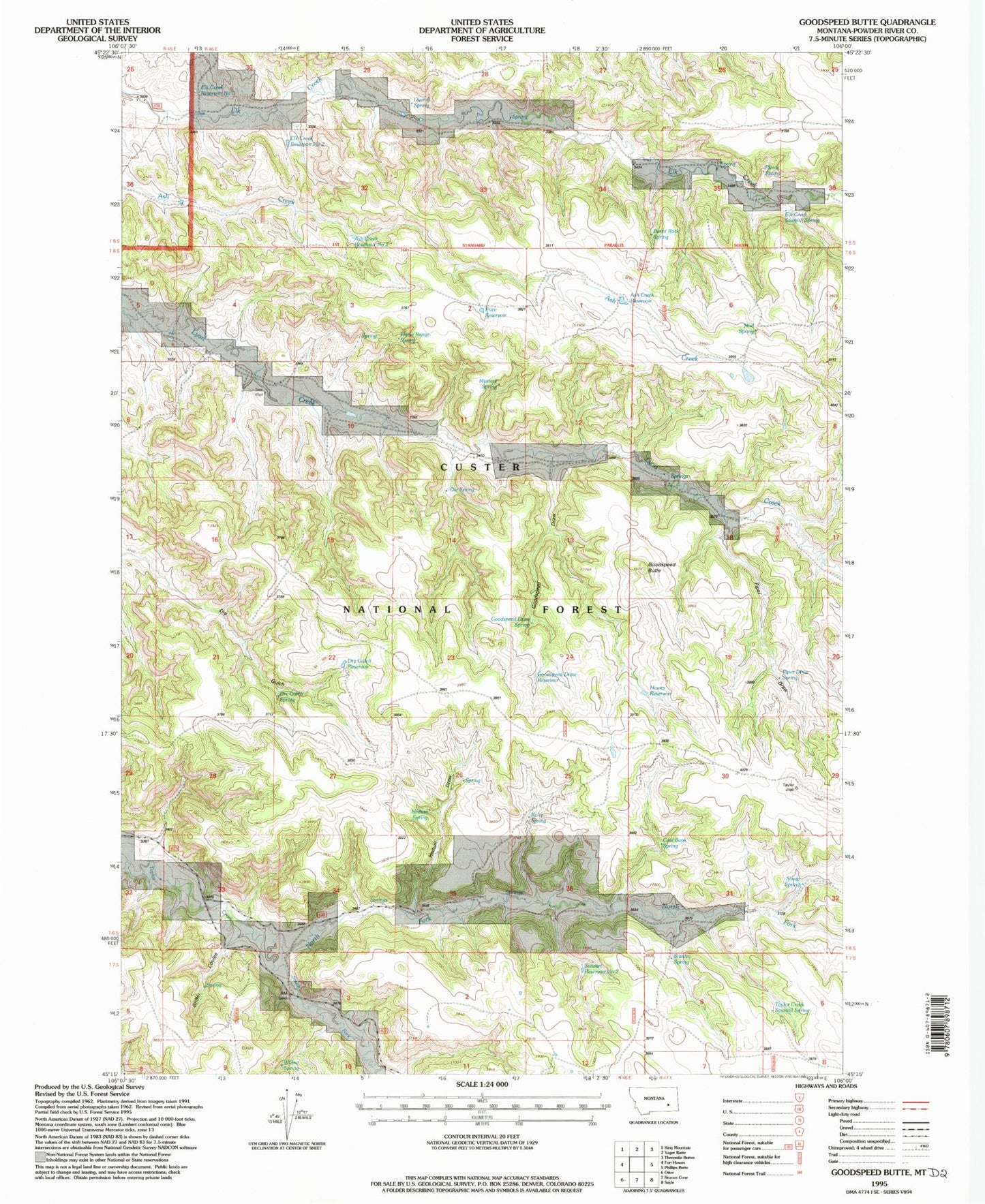
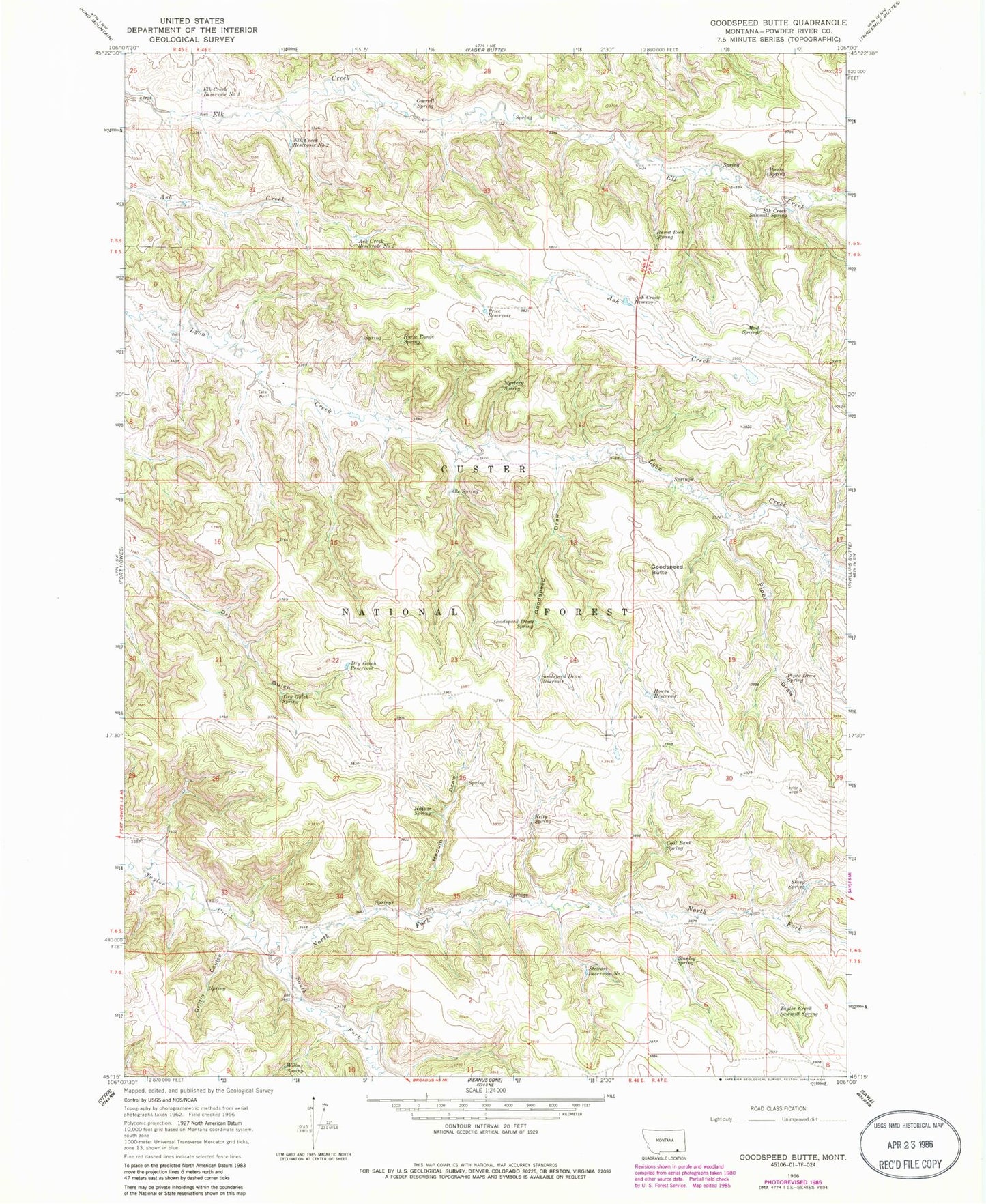
MyTopo
Classic USGS Goodspeed Butte Montana 7.5'x7.5' Topo Map
Couldn't load pickup availability
Historical USGS topographic quad map of Goodspeed Butte in the state of Montana. Map scale may vary for some years, but is generally around 1:24,000. Print size is approximately 24" x 27"
This quadrangle is in the following counties: Powder River.
The map contains contour lines, roads, rivers, towns, and lakes. Printed on high-quality waterproof paper with UV fade-resistant inks, and shipped rolled.
Contains the following named places: 06S38E24ADAC01 Well, 06S46E33DDB_01 Well, Ash Creek Reservoir, Ash Creek Reservoir Number Two, Burnt Rock Spring, Coal Bank Spring, Dry Gulch Reservoir, Dry Gulch Spring, Elk Creek Reservoir Number Three, Elk Creek Reservoir Number Two, Elk Creek Sawmill Spring, Goodspeed Butte, Goodspeed Draw, Goodspeed Draw Reservoir, Goodspeed Draw Spring, Griffin Coulee, Hedum Draw, Hedum Spring, Horse Range Spring, Howes Reservoir, Kelty Spring, Lyon Divide Reservoir Dam, Mud Spring, Mystery Spring, North Fork Taylor Creek, Ole Spring, Overall Spring, Pierce Spring, Piper Draw, Piper Draw Spring, Price Reservoir, Sheep Spring, South Fork Taylor Creek, Stanley Spring, Stewart Reservoir Number Two, Tate Well, Taylor Creek Sawmill Spring, Wilbur Spring