MyTopo
Classic USGS Goodsprings Alabama 7.5'x7.5' Topo Map
Couldn't load pickup availability
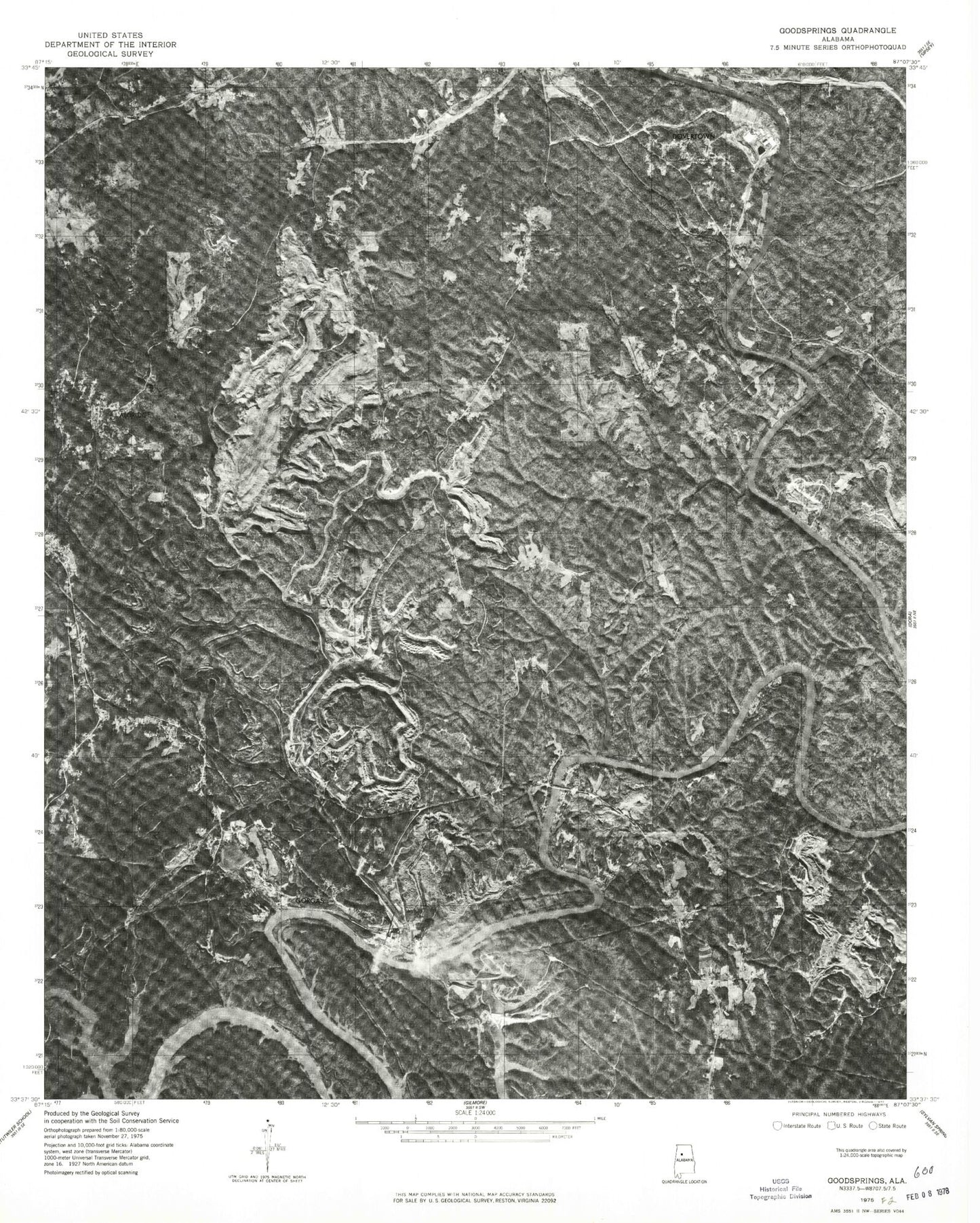
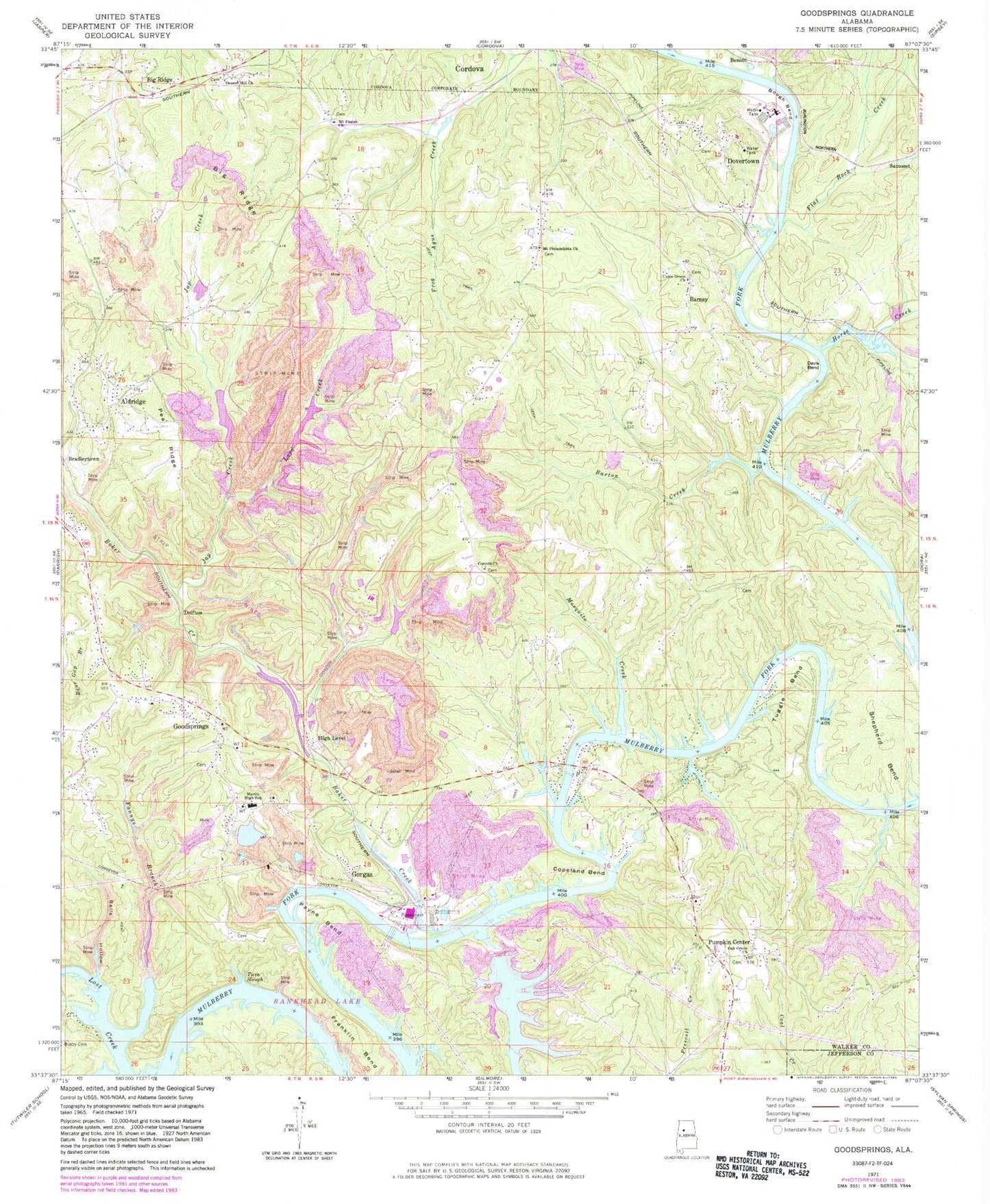
Historical USGS topographic quad map of Goodsprings in the state of Alabama. Map scale may vary for some years, but is generally around 1:24,000. Print size is approximately 24" x 27"
This quadrangle is in the following counties: Jefferson, Walker.
The map contains contour lines, roads, rivers, towns, and lakes. Printed on high-quality waterproof paper with UV fade-resistant inks, and shipped rolled.
Contains the following named places: Aldridge, Aldridge Mines, America Mine, America Number 3 Mine, America Number 4 Mine, Baker Creek, Balls Hollow, Barnett Ferry, Barney, Barney School, Barney Siding, Barney Volunteer Fire Department, Barton Creek, Bee Shoals, Big Lick Creek, Big Ridge, Big Ridge Mine, Big Ridge School, Birch Shoals, Bough Bend, Bradleytown, Brake Bend, Brass Church, Busby Cemetery, Butler Number 1 Mine, Clipper, Clipper Mine, Cobb Mine, Colta Mine, Copeland Bend, Copeland Ferry, Copeland Ferry Bridge, Copeland Ferry Church, Copeland Ford, Copeland Shoals, Cordova Division, Corinth Church, Corinth School, Cunningham Creek, Dalton Mine, Davis Bend, Davis Ford, Deason Hill, Deason Hill Church, Domino Number 2 Mine, Dovertown, Dovertown Freewill Baptist Church, Drifton, Drifton Mine, Fannys Branch, Flat Rock Creek, Fords Cemetery, Franklin Bend, Franklin Bend Mine, Franklin Cemetery, Franklin Landing, Franklin Shoals, Friendship Cemetery, Fuller Cemetery, Garrison-Dolphus Mine, Good Springs Church, Goodsprings, Goodsprings Cemetery, Goodsprings Church, Goodsprings Mine, Goodsprings Post Office, Goodwin Ford, Gorgas, Gorgas Mine, Gorgas Power Plant, Gorgas School, Herron Mine, High Level, High Level Mine, Horse Creek, Hyche Mine, Ivy Bluff Mine, Japanese Creek, Jim Hill, Jones Creek, Kemps Bend, Klondike Mine, Lard Creek, Leonard Cemetery, Littletons, Lock Number Fifteen, Lock Number Fourteen, Louis Shoals, Martin High School, Mary Lee Number 2 Mine, Mosquito Creek, Mount Carmel Mine, Mount Cedrum Cemetery, Mount Philadelphia Baptist Church, Mount Pisgah Church, Oak Grove Church, Odom School, Odoms Mine, O'Rear Mine, Pate Mine, Payne Bend, Payne Ferry, Paynes Creek, Paynes Mill, Pea Ridge, Pennsylvania Camp, Pumpkin Center, Pumpkin Center Church, Quinton-Wegra Division, Rattlesnake Creek, Rattlesnake Dam, Rattlesnake Lake, Riverside Number 1 Mine, Ruby, Ruby Drift Mine, Samoset, Samoset Mine, Shepherd Bend, Short Camp, Strip Mining Impoundment Dam Number 2, Strip Mining Impoundment Number 2, Sullivan Mine, Taft Mine, Tuggle Bend, Tuggles Shoals, Twin Slough, Underwood Ferry, Union Grove Church, Wegra Mine, ZIP Codes: 35130, 35550