MyTopo
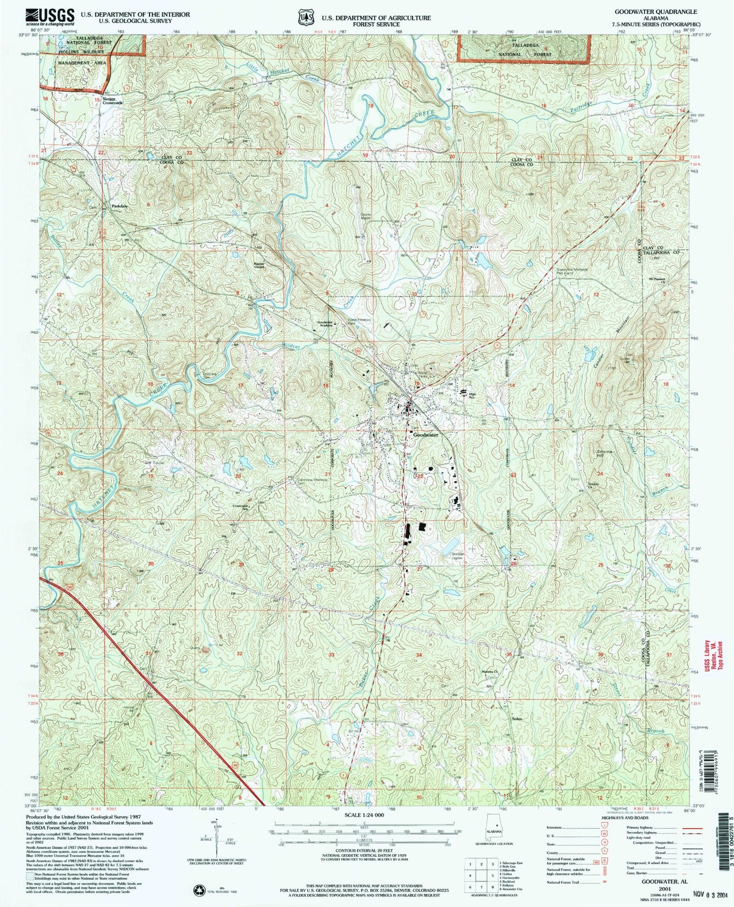
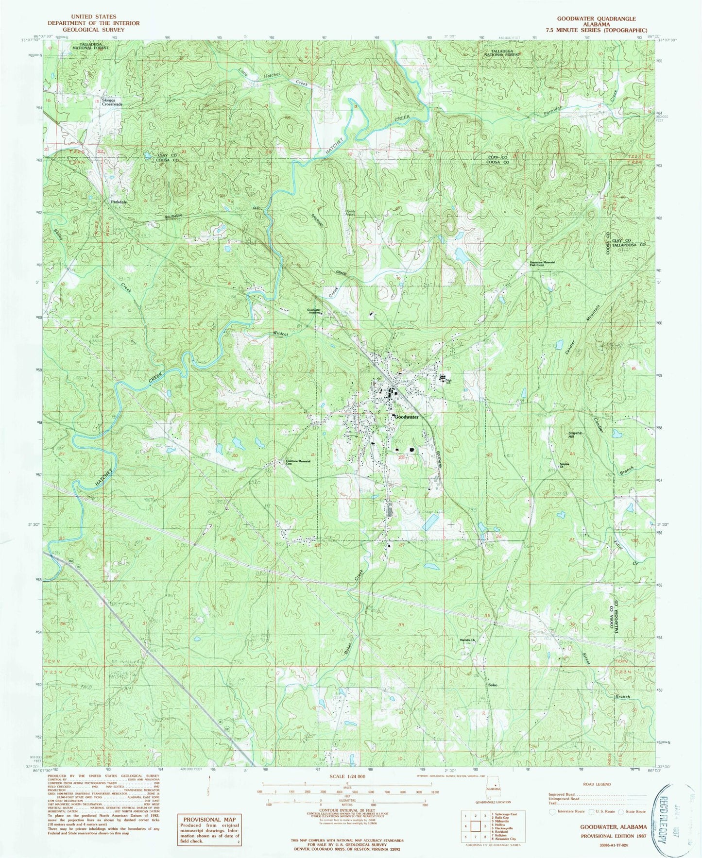
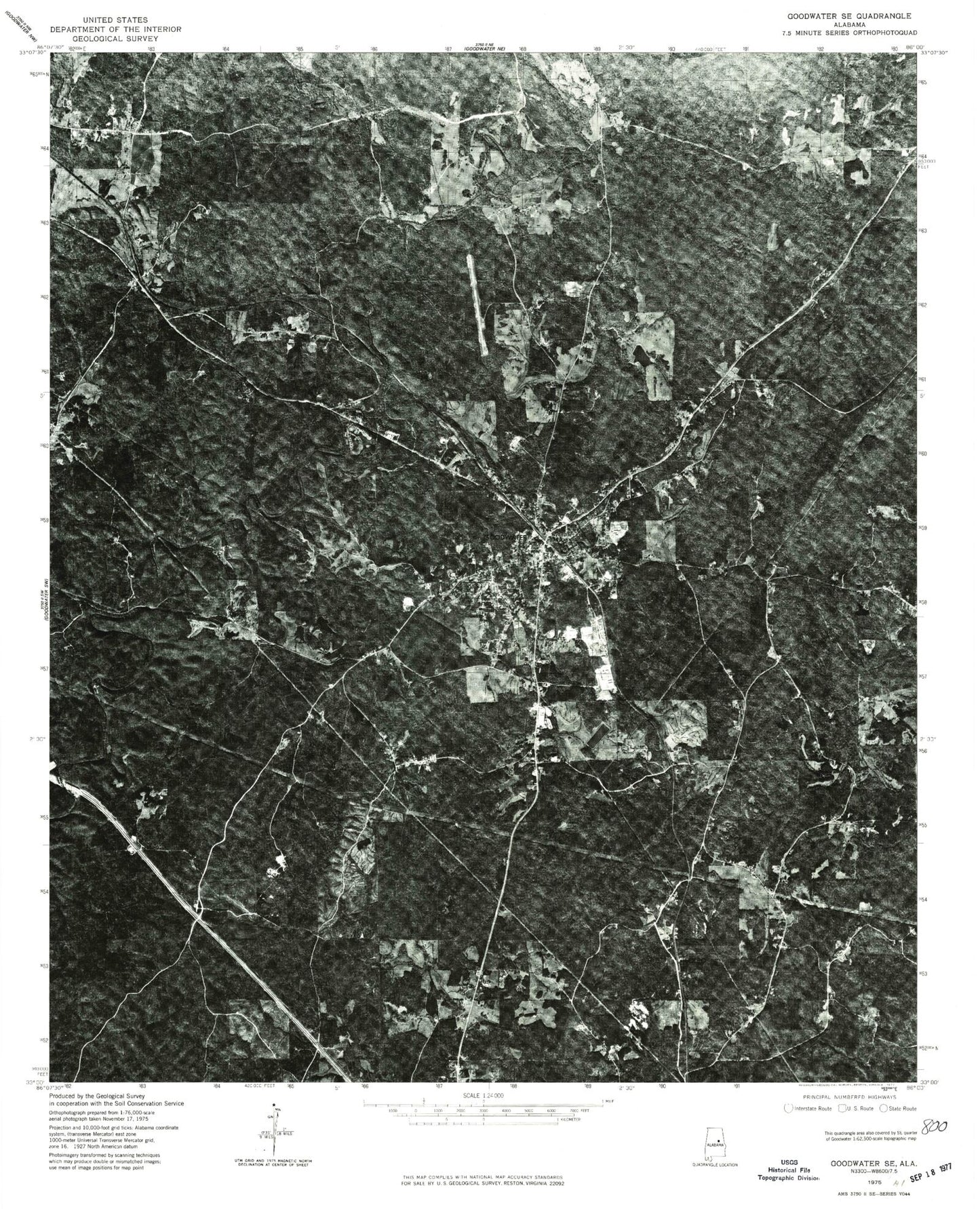
Classic USGS Goodwater Alabama 7.5'x7.5' Topo Map
Couldn't load pickup availability
Historical USGS topographic quad map of Goodwater in the state of Alabama. Map scale may vary for some years, but is generally around 1:24,000. Print size is approximately 24" x 27"
This quadrangle is in the following counties: Clay, Coosa, Tallapoosa.
The map contains contour lines, roads, rivers, towns, and lakes. Printed on high-quality waterproof paper with UV fade-resistant inks, and shipped rolled.
Contains the following named places: Bailey Dam, Bailey Lake, Baker Creek Lagoon, Baker Creek Lagoon Dam, Camp Branch, Candler Mountain, Church of God, Church of God of Prophecy, Coosa County Airport, Crestview Memorial Cemetery, Crossroads School, Goodwater, Goodwater Academy, Goodwater Cemetery, Goodwater Elementary School, Goodwater Fire Department and Ambulance Service, Goodwater High School, Goodwater Post Office, Greenview Memorial Park, Griffin Harris Lake, Griffin Harris Lake Dam, Hatchet, Hatchet Springs Church, Hatchet Springs School, Hatchett Creek Golf Club, Haynes Chapel, Little Hatchet Creek, Marietta Church, Marietta School, Martin Grove Cemetery, Mount Pleasant Church, Old Marietta Cemetery, Parkdale, Parkdale Church, Partridge Creek, Peoples Lake Dam, Peoples Lake Number 2, Peoples Lake Number 2 Dam, Ross Ford, Skeggs Crossroads, Smyrna Cemetery, Smyrna Hill, Smyrna Primitive Baptist Church, Soleo, Town of Goodwater, Wildcat Creek, ZIP Code: 35072


