
MyTopo
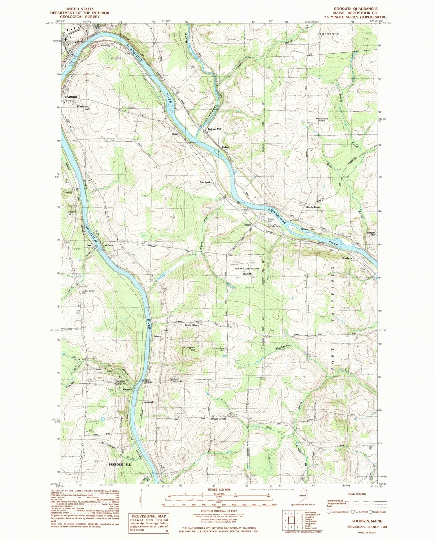
Classic USGS Goodwin Maine 7.5'x7.5' Topo Map
Couldn't load pickup availability
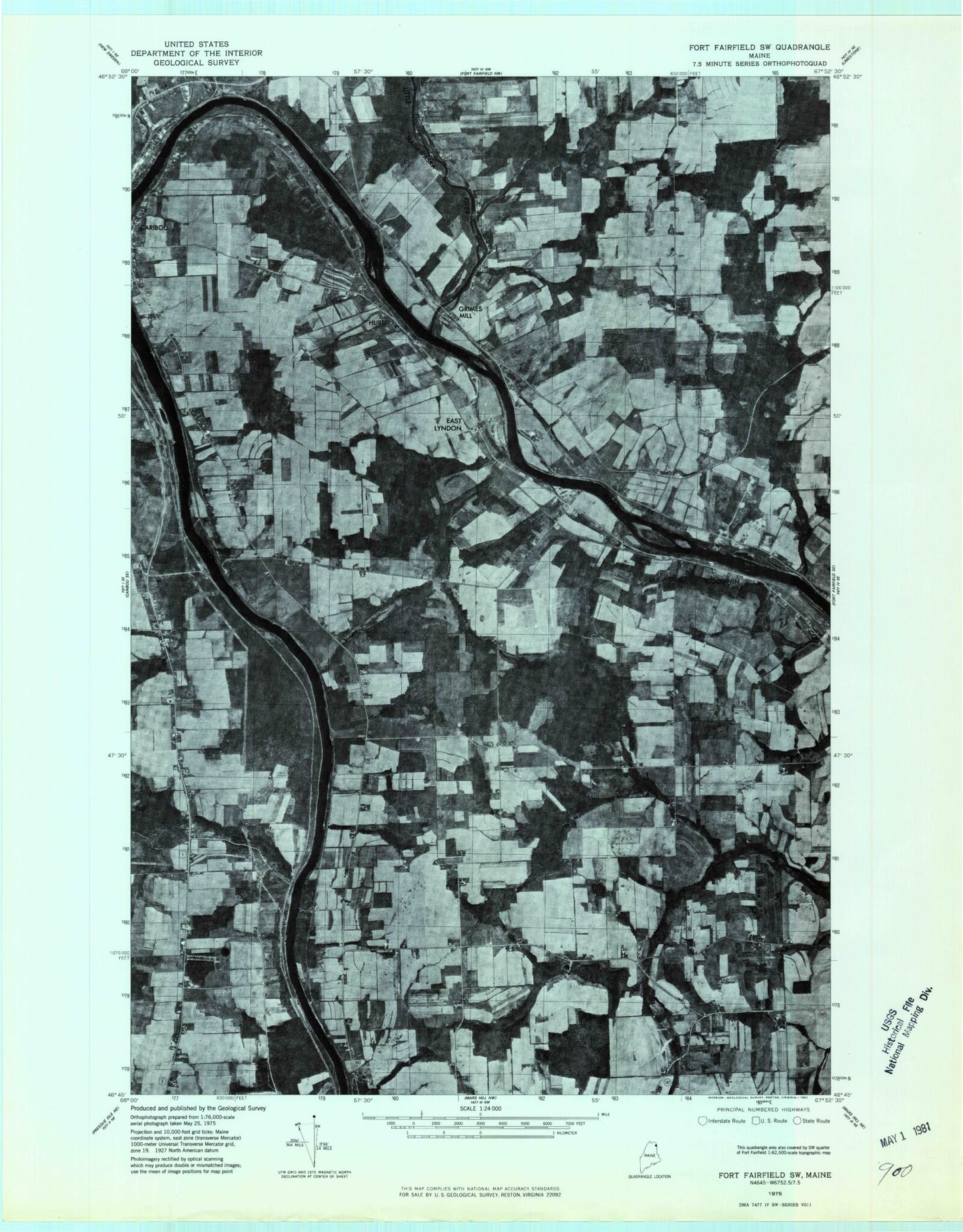
Historical USGS topographic quad map of Goodwin in the state of Maine. Map scale may vary for some years, but is generally around 1:24,000. Print size is approximately 24" x 27"
This quadrangle is in the following counties: Aroostook.
The map contains contour lines, roads, rivers, towns, and lakes. Printed on high-quality waterproof paper with UV fade-resistant inks, and shipped rolled.
Contains the following named places: Birch Brook, Bishop, Bubar Cemetery, Campbell, Circle of Learning School, City of Caribou, Cochran Cemetery, Conant Brook, Dow, Doyle Cemetery, East Lyndon, Ginn Brook, Glidden Brook, Goodwin, Gray Brook, Green Ridge, Green Ridge Cemetery, Grimes Cemetery, Grimes Mill, Haley Island, Hardwood Brook, Hurd, Little Madawaska River, Lyndon Center Cemetery, Maine, Maysville, McGraw, Moore Brook, Murphy Road, Murphy Road Airstrip, Nichols Brook, Noyes Brook, Old Catholic Cemetery, Old Higgins Hill, Otter Brook, Palmer School, Prestile Brook, Richardson Brook, Roberts, Sawyer Corner, Spring Brook, Walton Cemetery, WBPW-FM (Presque Isle), WCXU-FM (Caribou), WFST-AM (Caribou)