MyTopo
Classic USGS Goose Prairie Washington 7.5'x7.5' Topo Map
Couldn't load pickup availability
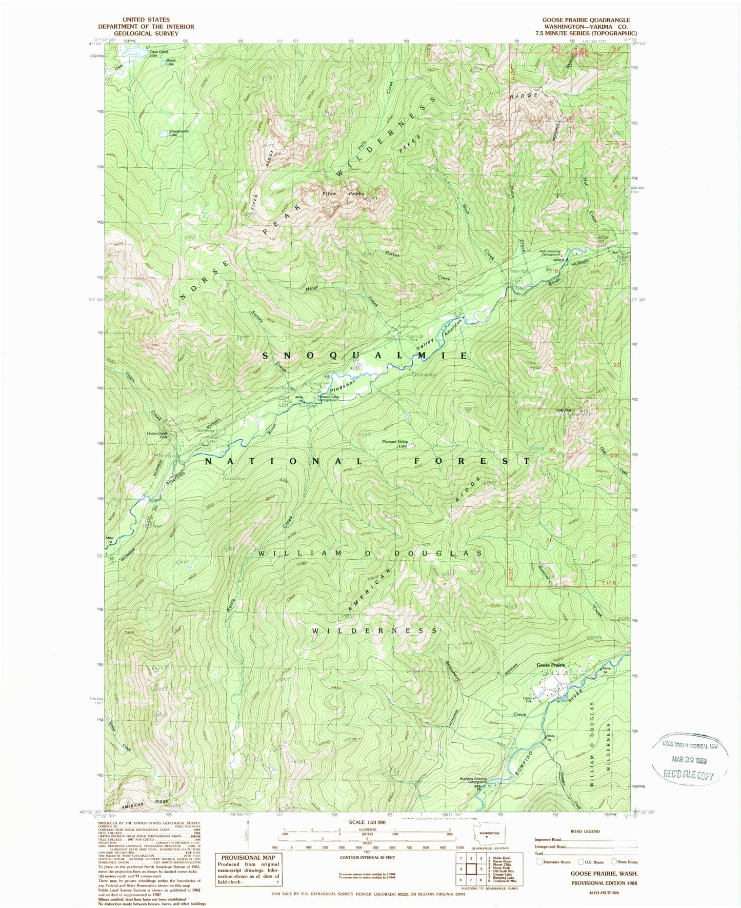
Historical USGS topographic quad map of Goose Prairie in the state of Washington. Typical map scale is 1:24,000, but may vary for certain years, if available. Print size: 24" x 27"
This quadrangle is in the following counties: Yakima.
The map contains contour lines, roads, rivers, towns, and lakes. Printed on high-quality waterproof paper with UV fade-resistant inks, and shipped rolled.
Contains the following named places: American Ridge, American Ridge Trail, Camp Fife, Crow Creek Lake, Crow Lake Trail, Fifes Peaks, Fifes Ridge, Fifes Ridge Trail, Goat Peak, Goose Prairie, Goose Prairie Trail, Hall Creek, Kettle Creek, Kettle Lake, Miner Creek, Parker Creek, Pinus Creek, Pleasant Valley, Pleasant Valley Campground, Pleasant Valley Lake, Sheepherder Lake, Survey Creek, Thunder Creek, Union Creek, Union Creek Falls, Wash Creek, Bumping Crossing Campground, Hells Crossing Campground, Gooseprairie Post Office (historical)