MyTopo
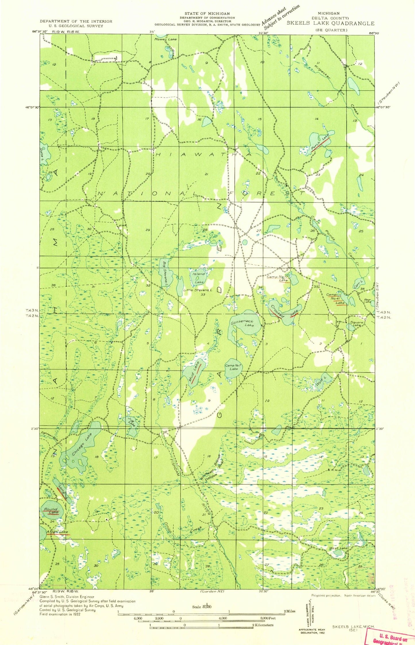
Classic USGS Gooseneck Lake Michigan 7.5'x7.5' Topo Map
Couldn't load pickup availability
Historical USGS topographic quad map of Gooseneck Lake in the state of Michigan. Map scale may vary for some years, but is generally around 1:24,000. Print size is approximately 24" x 27"
This quadrangle is in the following counties: Delta.
The map contains contour lines, roads, rivers, towns, and lakes. Printed on high-quality waterproof paper with UV fade-resistant inks, and shipped rolled.
Contains the following named places: Back Lake, Bog Lake, Camp Fortyone Lake, Camp Seven Lake, Camp Seven Lake Campground, Camp Seven Lake Recreation Area, Carr Lake, Carr Ponds, Chicago Lake, Eva Lake, Fern Lake, Frying Pan Lake, Ganamush Lake, Gooseneck Lake, Highbridge Lake, Jackpine Lake, Jug Lake, Lake Twentythree, Little Stevens Lake, Lyman Lake, Mahskeekee Lake, Molly Lake, Onion Creek, Remington Lake, Shoe Pac Lake, Spring Lake, Square Lake, Stevens Lake, Van Winkle Lake, Vista Lake, West Lake, Wolf Lake