MyTopo
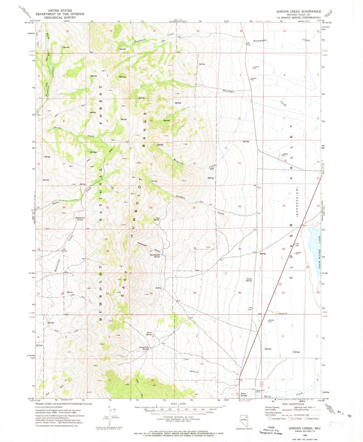
Classic USGS Gordon Creek Nevada 7.5'x7.5' Topo Map
Couldn't load pickup availability
Historical USGS topographic quad map of Gordon Creek in the state of Nevada. Map scale may vary for some years, but is generally around 1:24,000. Print size is approximately 24" x 27"
This quadrangle is in the following counties: Elko.
The map contains contour lines, roads, rivers, towns, and lakes. Printed on high-quality waterproof paper with UV fade-resistant inks, and shipped rolled.
Contains the following named places: Agee Spring, Brough Ranch, Clover, Clover Valley Post Office, Clover Valley Volunteer Fire Department, Clover Valley Wildlife Reservoir, Davis Spring, Gordon Creek, Gordon Creek Fire Guard, Greek Spring, Jerry Crab Spring, Rattlesnake Canyon, Rattlesnake Creek, Rattlesnake Spring, Rockwall Creek, Steele Ranch, Warm Creek Ranch, Warm Springs, Wells Division, Woolverton Spring