
MyTopo
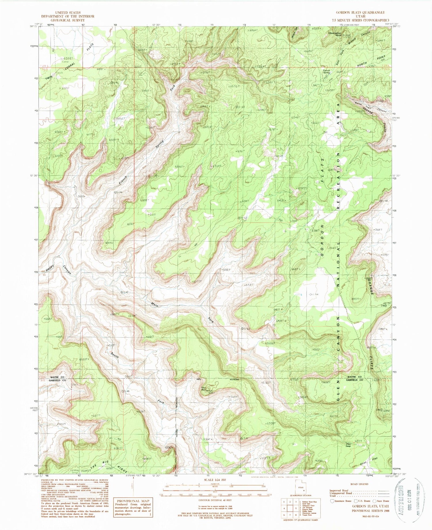
Classic USGS Gordon Flats Utah 7.5'x7.5' Topo Map
Regular price
$16.95
Regular price
Sale price
$16.95
Unit price
per
Couldn't load pickup availability
Historical USGS topographic quad map of Gordon Flats in the state of Utah. Map scale may vary for some years, but is generally around 1:24,000. Print size is approximately 24" x 27"
This quadrangle is in the following counties: Garfield, Wayne.
The map contains contour lines, roads, rivers, towns, and lakes. Printed on high-quality waterproof paper with UV fade-resistant inks, and shipped rolled.
Contains the following named places: Bagpipe Butte Overlook, Flint Flat, Flint Seep, French Spring, French Spring Fork, Gordon Flats, Gordon Flats Airport, Main Fork Happy Canyon, North Point, Observation Rock, South Fork Happy Canyon, The Hat