MyTopo
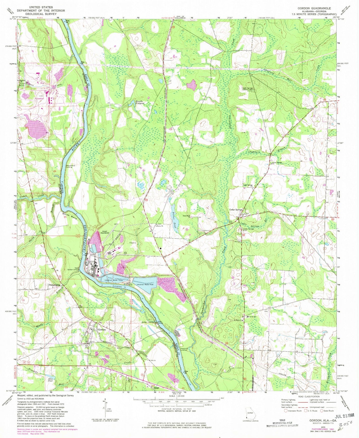
Classic USGS Gordon Alabama 7.5'x7.5' Topo Map
Couldn't load pickup availability
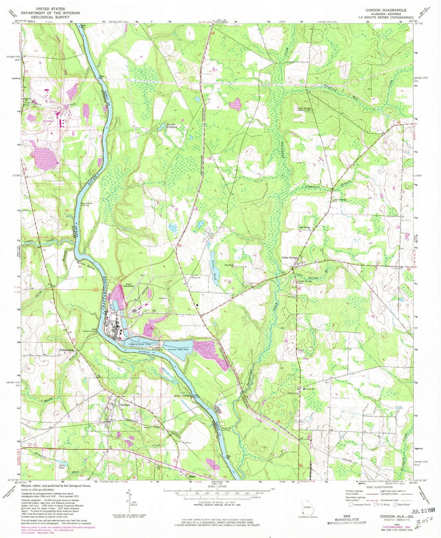
Historical USGS topographic quad map of Gordon in the states of Alabama, Georgia. Map scale may vary for some years, but is generally around 1:24,000. Print size is approximately 24" x 27"
This quadrangle is in the following counties: Early, Houston.
The map contains contour lines, roads, rivers, towns, and lakes. Printed on high-quality waterproof paper with UV fade-resistant inks, and shipped rolled.
Contains the following named places: A Family With a Heart for God Church, Agape Powerhouse Church, Alaga, Calhoun Pond, Calumet, Carver School, Cedar Creek, Cedar Springs, Cedar Springs Branch, Cedar Springs Cemetery, Cedar Springs Census Designated Place, Cedar Springs Church, Cedar Springs Freewill Baptist Church Cemetery, Cedar Springs Lookout Tower, Cedar Springs Post Office, Chambers Branch, Dry Creek, Early County Fire Department Cedar Springs, Ellis Pond, Georgia-Pacific Airport, Good Hope Church, Good Hope School, Gordon, Gordon Cemetery, Gordon Landing, Gordon Police Department, Gordon Post Office, Gordon Volunteer Fire Department, Great Northern Airport, Hayesville Landing, Howards Mill Creek, Howells Fishpond, Jackson Creek, Jakin Division, Joseph M Farley Nuclear Power Plant, Joseph M Farley Nuclear Power Plant Visitors Center, Liberty, Liberty Assembly of God Church Cemetery, Liberty Church, Philadelphia, Philadelphia Church, Porter Pond, Potters Landing, Rock Falls, Saint Mary Baptist Church, Saint Pauls Church, Saint Stephens Cemetery, Saint Stephens Church, Shackleford Landing, Sheffield Mill, Sheffield Mill Creek, Smith Bend, Smith Branch, Town of Gordon, Town of Gordon Wastewater Treatment Plant, Upper Gordon Landing, Wilson Creek, Woods Branch, Yufali


