MyTopo
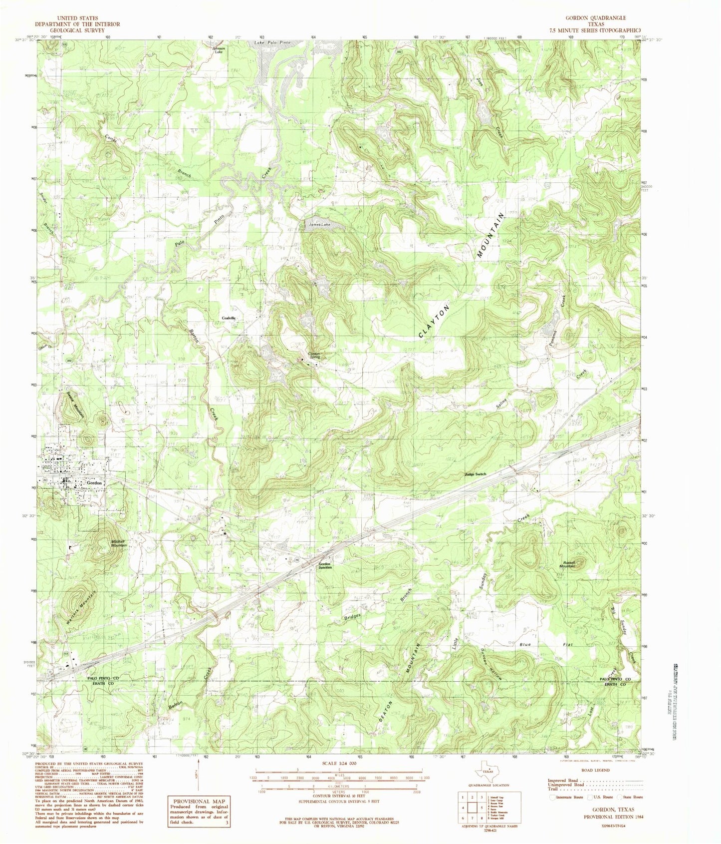
Classic USGS Gordon Texas 7.5'x7.5' Topo Map
Couldn't load pickup availability
Historical USGS topographic quad map of Gordon in the state of Texas. Map scale may vary for some years, but is generally around 1:24,000. Print size is approximately 24" x 27"
This quadrangle is in the following counties: Erath, Palo Pinto.
The map contains contour lines, roads, rivers, towns, and lakes. Printed on high-quality waterproof paper with UV fade-resistant inks, and shipped rolled.
Contains the following named places: Barton Creek, Blue Cemetery, Blue Flat, Blue Flat Cemetery, Bridges Branch, Brierton Cemetery, Carter Branch, City of Gordon, Clayton Mountain, Clayton Spring, Coalville, Doty Cemetery, Duncan Hollow, Gibson Cemetery, Gibson Creek, Gordon, Gordon City Hall, Gordon Junction, Gordon Post Office, Gordon Volunteer Fire Department, Gordon Volunteer Fire Department Station 2, Henslee Lake Number 1, Henslee Lake Number 1 Dam, Henslee Lake Number 2, Henslee Lake Number 2 Dam, James Lake, James Lake Dam, Johnson Vault, Judd Switch, Little Sunday Creek, Longhorn Stadium, Lost Creek, Mitchell Mountain, Mount Zion Church, New Gordon Cemetery, Old Gordon Cemetery, Panama Creek, Panama Creek Reservoir, Panama Creek Reservoir Dam, Richards Lake Number 1, Richards Lake Number 1 Dam, Russel Mountain, Saline Creek, Snider Branch, Swank Cemetery, Swank Mountain, Tri City Emergency Medical Services, Waddell Ranch Dam Number 3, Waddell Ranch Lake Number 1, Waddell Ranch Lake Number 1 Dam, Waddell Ranch Lake Number 3, Warters Mountain, Watson Lake, Watson Lake Dam, ZIP Code: 76453


