MyTopo
Classic USGS Gordonville Missouri 7.5'x7.5' Topo Map
Couldn't load pickup availability
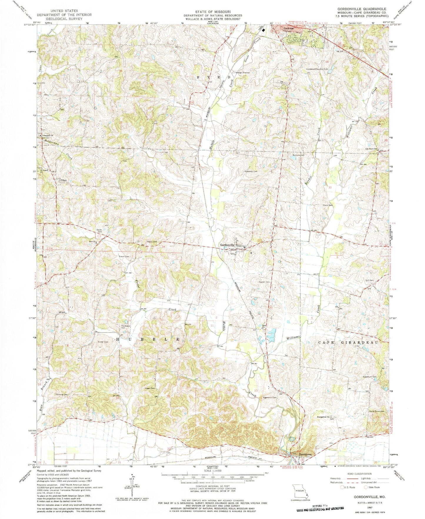
Historical USGS topographic quad map of Gordonville in the state of Missouri. Map scale may vary for some years, but is generally around 1:24,000. Print size is approximately 24" x 27"
This quadrangle is in the following counties: Cape Girardeau.
The map contains contour lines, roads, rivers, towns, and lakes. Printed on high-quality waterproof paper with UV fade-resistant inks, and shipped rolled.
Contains the following named places: Abernathy School, Beach Cemetery, Bethel Church, Davis Cemetery, Dutchtown, Dutchtown Census Designated Place, Dutchtown Post Office, Eakon Cemetery, Eggimann Cemetery, Evangelical Church, Evans Lake East, Evans Lake East Dam, Evans Lake West, Evans Lake West Dam, Foster Creek, Goose Creek, Gordonville, Gordonville Area Volunteer Fire Department Station 1, Gordonville Area Volunteer Fire Department Station 2, Gordonville Area Volunteer Fire Department Station 3, Gordonville Post Office, Hager Cemetery, Hayden Cemetery, Hitt Cemetery, Houck, Immanuel Church, Keller Spur, Kimbeland Country Club, Kinder Cemetery, McGuire Cemetery, McKendrie Chapel, Needmore School, Number 786 Dam, Number 804 Dam, Number 805 Dam, Oak Grove School, Pemberton Lake, Pemberton Lake Dam - US Survey 2283 Dam, Pemberton Lake Section 22, Pemberton Lake Section 22 Dam, Poplar Grove School, Randol Creek, Saint James Church, Sandy Ridge School, Shady Grove Cemetery, Shady Grove School, Smith Cemetery, Southeast Lowlands, Statler Cemetery, Suedekum Cemetery, Summers Cemetery, Thompson Cemetery, Tilsit, Township of Hubble, Village of Dutchtown, Village of Gordonville, Williams Creek, Zion Church, Zion United Methodist Church Cemetery


