MyTopo
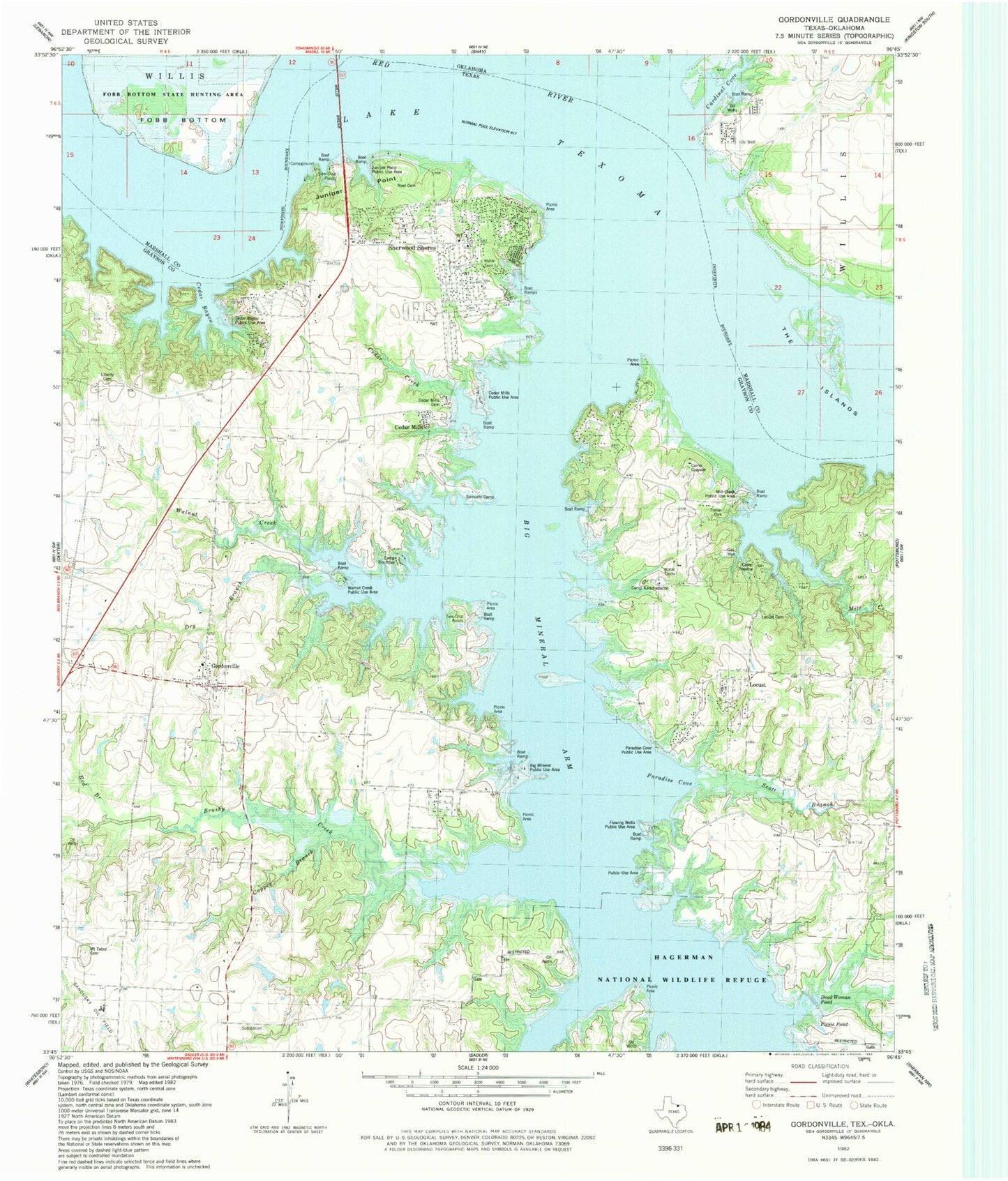
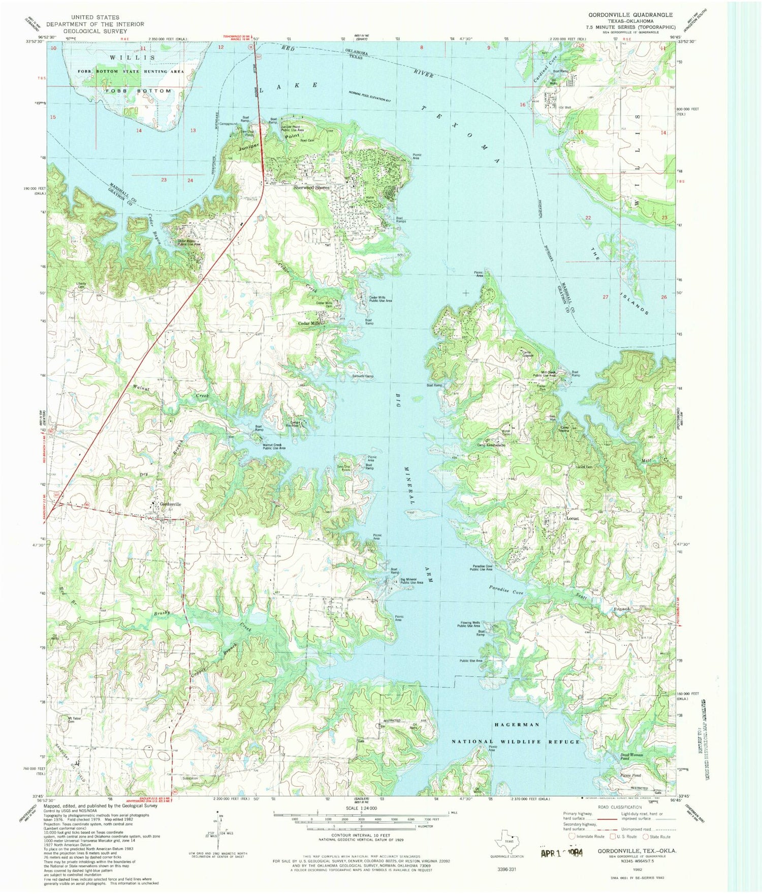
Classic USGS Gordonville Texas 7.5'x7.5' Topo Map
Couldn't load pickup availability
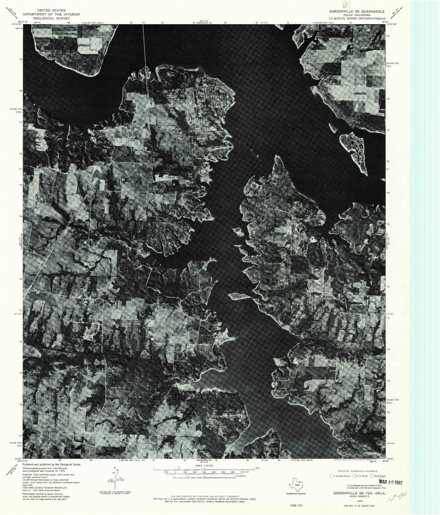
Historical USGS topographic quad map of Gordonville in the states of Texas, Oklahoma. Typical map scale is 1:24,000, but may vary for certain years, if available. Print size: 24" x 27"
This quadrangle is in the following counties: Grayson, Marshall.
The map contains contour lines, roads, rivers, towns, and lakes. Printed on high-quality waterproof paper with UV fade-resistant inks, and shipped rolled.
Contains the following named places: Big Mineral Arm, Camp Rio Roxo, Camp Texoma, Cedar Bayou, Cedar Creek, Cedar Mills, Copper Branch, Dry Branch, Gordonville, Liberty Cemetery, Mill Creek, Mount Tabor Cemetery, North Branch Brushy Creek, Paradise Cove, Red Branch, Sandy Creek, Scott Branch, Walnut Creek, Juniper Point, Locust, Sherwood Shores, Cedar Bayou Publice Use Area, Juniper Point Public Use Area, Noel Cemetery, Cedar Mills Public Use Areas, Walnut Creek Public Use Area, Picnic Pond, Dead Woman Pond, Paradise Cove Public Use Area, Camp Kadohadacho, Camp Grayson, Mill Creek Public Use Area, Locust Cemetery, Flowing Wells Public Use Area, Sandusky Oil Field, Samuels Camp, Northwest Grayson Division, Cross Timbers Hiking Trail, Sherwood Shores, Sherwood Shores Volunteer Fire Department, Locust Community Volunteer Fire Department, Gordonville Volunteer Fire Department, Sherwood Shores Census Designated Place, Cedar Mills Airport, Brushy Creek Airport, Johnson Cemetery, Gordonville Post Office, Gordonville Cemetery, Berry Cemetery, Cedar Mills Cemetery, The Islands, Fobb Bottom, Cardinal Cove, Cardinal Cove Fire District


