MyTopo
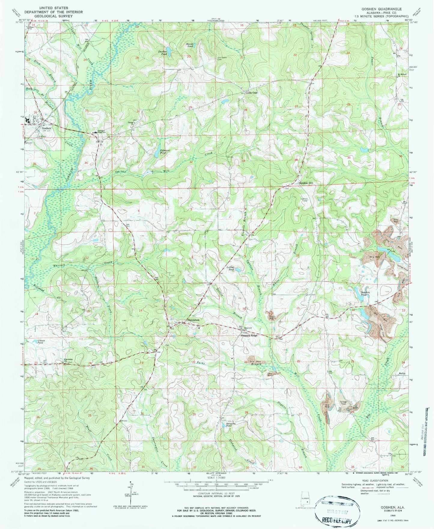
Classic USGS Goshen Alabama 7.5'x7.5' Topo Map
Couldn't load pickup availability
Historical USGS topographic quad map of Goshen in the state of Alabama. Map scale may vary for some years, but is generally around 1:24,000. Print size is approximately 24" x 27"
This quadrangle is in the following counties: Pike.
The map contains contour lines, roads, rivers, towns, and lakes. Printed on high-quality waterproof paper with UV fade-resistant inks, and shipped rolled.
Contains the following named places: Baltic, Bethel Church, Billwood Creek, Broadhead Creek, Dallasville Post Office, Davidson Cemetery, Dogwood Acres, Dolton Branch, Dunbar Pond, Elam - Davidson Memorial Cemetery, Elam Branch, Elam Church, Folmars Pond, Friendship Church, Gainers Store Post Office, Gibson Pond, Goshen, Goshen Elementary School, Goshen High School, Goshen Post Office, Hallsville, Hanchey, Henderson, Henderson Cemetery, Henderson Church, Henderson Memorial Cemetery, Henderson Volunteer Fire Department, Henderson-Spring Hill Division, Hillcrest Cemetery, Hopewell Cemetery, Hopewell Primitive Baptist Church, Howard Creek, Lewis Cemetery, Little Oak, Little Oak Methodist Church, Loflins Pond, Lynn Mill Creek, Mount Hillard Church, Murphree Lake, Murphree Lake Dam, Norris Pond, Ogletree Branch, Old Salem Cemetery, Palmyra, Parks Branch, Pleasant Ridge, Pleasant Ridge Church, Pleasant Ridge Elementary School, Robertson Branch, Sanders Creek, Sanders Hill, Sanders Pond, Sanders Pond Dam, Sanford Barron Cemetery, Shaver Pond, Silers Mill Creek, Smart Road Airport, Smilie Cemetery, Smilies Mill Creek, Spillars Cemetery, Stewarts Pond, Stringer High School, Tenmile Branch, Town of Goshen, Ward - Thompson Cemetery, Warrick Creek, Wellington Academy, White Branch, William Carter Cemetery


